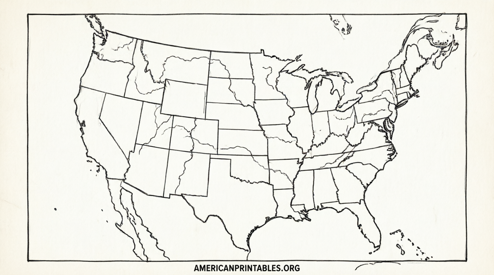
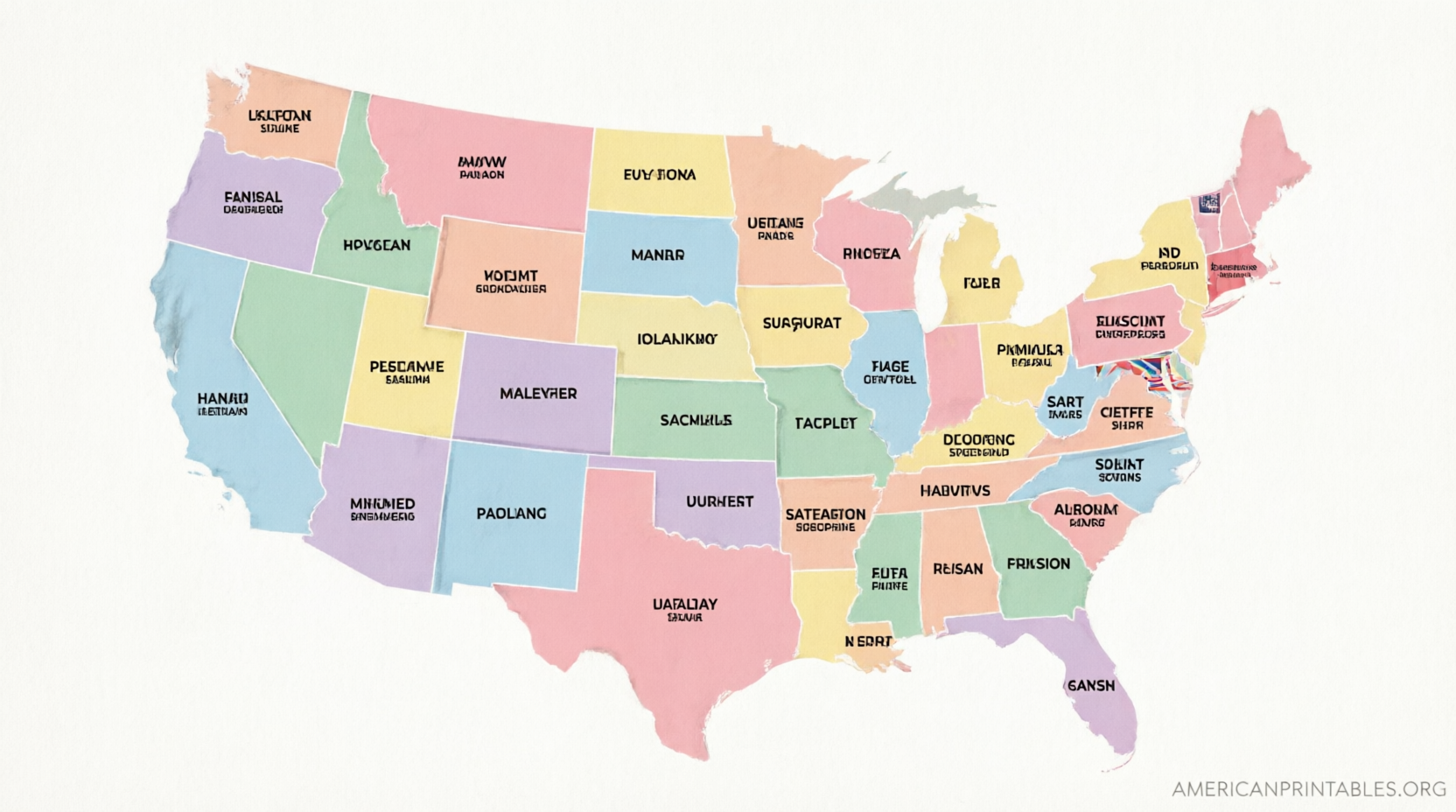
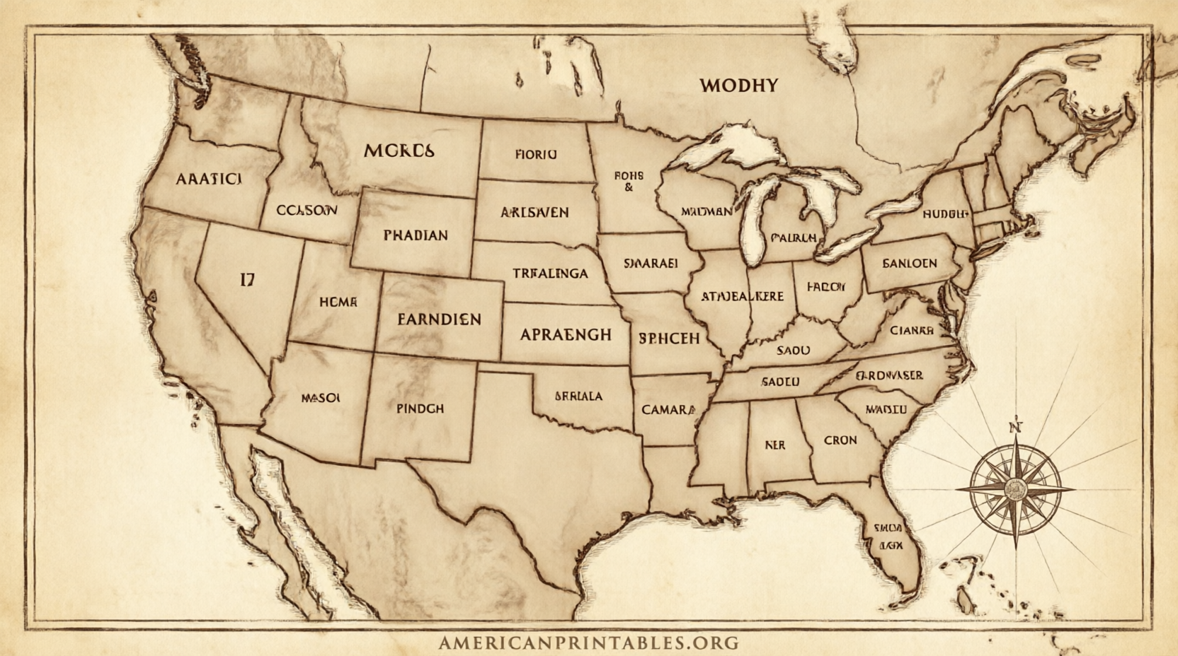
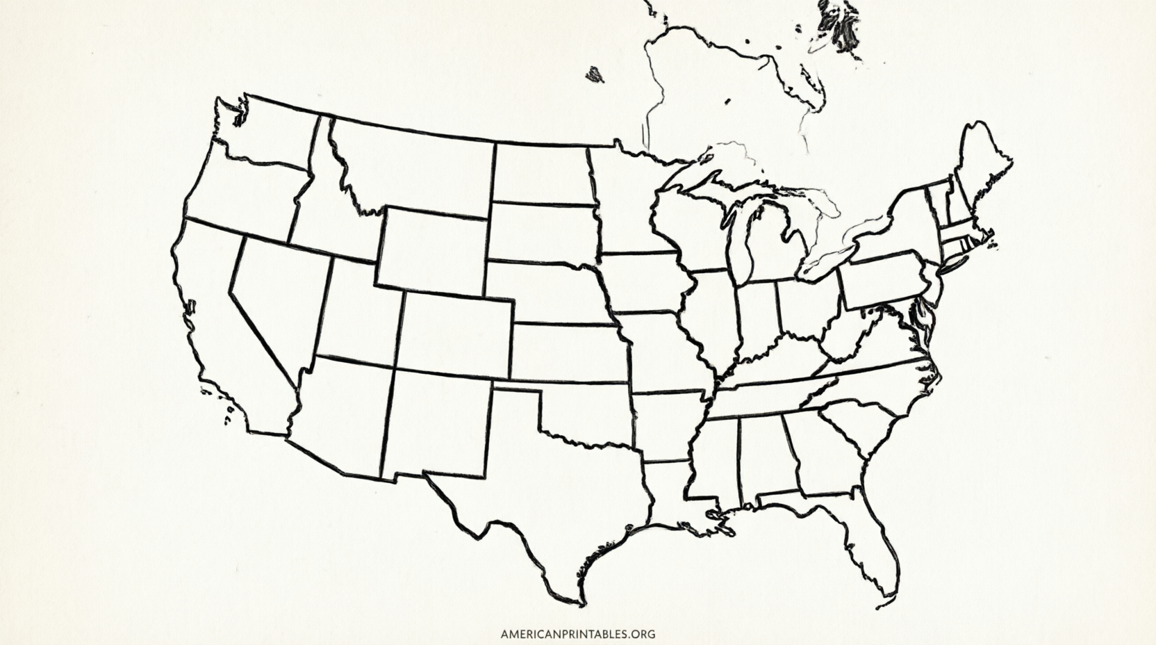
Free Printable North America Map With States & Provinces – Looking for a free printable map of North America with states and provinces? Whether you are a teacher preparing classroom materials, a homeschool parent, a student studying geography, or simply someone who wants a clear reference sheet, a high-quality blank or labeled map makes learning easier.
This resource page explains what these maps typically include, how to choose the right version, and where to download legitimate free printables that show U.S. states and Canadian provinces (often with Mexican states as well). All recommended sources are free for personal or educational use, require no payment for the core files, and come from established map providers.
What a North America Map With States and Provinces Shows?
A useful free printable map of North America with states and provinces usually covers:
- The full outline of the continent
- International borders between Canada, the United States, and Mexico
- Internal borders for all 50 U.S. states (plus the District of Columbia in many versions)
- Canadian provinces and territories
- Often Mexican states
- Sometimes Greenland or key Caribbean islands depending on the projection
Blank versions leave the names off so students can label them. Labeled versions include the names for quick reference. Most print cleanly on standard U.S. Letter (8.5 × 11 inch) paper in black and white to save ink.
These maps support geography quizzes, coloring activities, travel planning, and classroom lessons on political boundaries.
Best Places to Download Free Printable Maps
Here are reliable, current sources that offer free downloads. Each link goes directly to the relevant map or collection page. Always check the site’s license notes for attribution requirements or commercial-use limits.
1. Wikimedia Commons – Blank USA & Canada Map with States and Provinces
This public-domain SVG file shows clear state and province borders for the United States and Canada. It is ideal for printing, coloring, or editing. Download the original high-resolution file and print at any size.
Download the blank map on Wikimedia Commons
2. Free Vector Maps – North America with US States and Canadian Provinces
A fully layered, printable vector map that includes individual U.S. states and Canadian provinces. Available in PDF, PNG, JPG, and other formats. Free with attribution (or a low-cost option without attribution).
Get the vector map from Free Vector Maps
3. Mapswire – Free Political and Blank Maps of North America
Offers several free Creative Commons maps of the continent in different projections, including blank political versions. Suitable for classroom printing and presentations.
Browse free North America maps on Mapswire
4. World Map Blank – Blank Map of North America with Borders
Provides free blank and outline maps of North America. One version includes U.S. state and Canadian provincial borders along with international boundaries. PDFs and JPEGs are sized for U.S. Letter paper and require no sign-up.
Download free blank North America maps
5. Ultimaps – Free Blank Maps of the United States, Canada, and Mexico
High-resolution PNG, PDF, and SVG files for individual countries, including state and province outlines. Completely free with no registration for personal and educational use.
Explore free blank maps on Ultimaps
These five sources stay within a practical limit while prioritizing accuracy, free access, and usefulness for a U.S. audience.
Free Printable North America Map With States & Provinces
Tips for Printing and Using the Maps
- Choose landscape orientation for most continent maps so Alaska and the full width of Canada fit comfortably.
- Use heavier paper (24 lb or cardstock) if students will color or write heavily.
- Print a blank version for quizzes and a labeled version as the answer key.
- For younger learners, pair the map with a simple list of state and province names.
- Vector formats (SVG or AI) scale without losing quality if you need a larger classroom poster.
Always verify the current license on the download page before redistributing or using commercially.
Brief FAQ
Are these maps really free?
Yes. The sources listed above provide free core files for personal and educational use. Some offer optional paid upgrades for extra formats or no-attribution licenses.
Do the maps include all Canadian provinces and U.S. states?
The Wikimedia and Free Vector Maps versions specifically show state and province borders. Other sources may focus on country outlines or offer separate country sheets.
Can I use them in the classroom without permission?
Most of the recommended maps allow free educational printing. Check each site’s terms for any required attribution.
What paper size works best?
Standard U.S. Letter (8.5 × 11 inches) in landscape orientation works for nearly all of these files.
A free printable map of North America with states and provinces is a simple but powerful tool for learning the geography of the continent. Start with one of the trusted links above, print a few copies, and you will have a ready-to-use resource for lessons, study sessions, or personal projects.