Free Printable Map of the Great Lakes – Looking for a free printable map of the Great Lakes? Whether you’re a teacher planning a geography unit, a homeschool parent, a student studying U.S. geography, or simply want a clear reference of Lakes Superior, Michigan, Huron, Erie, and Ontario, several trusted sources offer high-quality, free maps you can download and print at home.
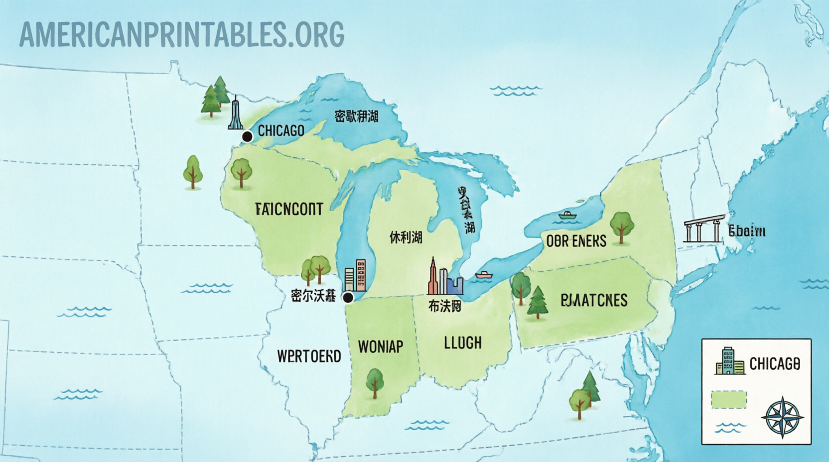
The Great Lakes form the largest group of freshwater lakes on Earth by total area. They straddle the U.S.-Canada border and touch eight American states: Minnesota, Wisconsin, Michigan, Illinois, Indiana, Ohio, Pennsylvania, and New York. A good printable map helps visualize the lakes, surrounding states, major cities, and waterways.
Why Use a Free Printable Great Lakes Map?
Printable maps work well for:
- Classroom or homeschool lessons on geography, water systems, or the Midwest
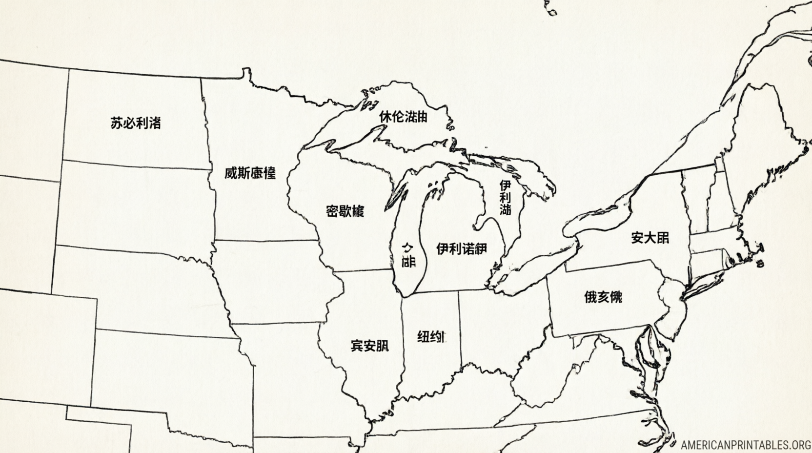
- Labeling activities (blank outline versions)
- Understanding relative sizes and locations of the five lakes
- Travel planning or general reference
- Coloring or annotation projects
Government and educational sites provide accurate, free resources without paywalls or misleading claims.
Trusted Free Printable Great Lakes Maps
Here are some of the best current, legitimate options:
NOAA Great Lakes Printable Resources
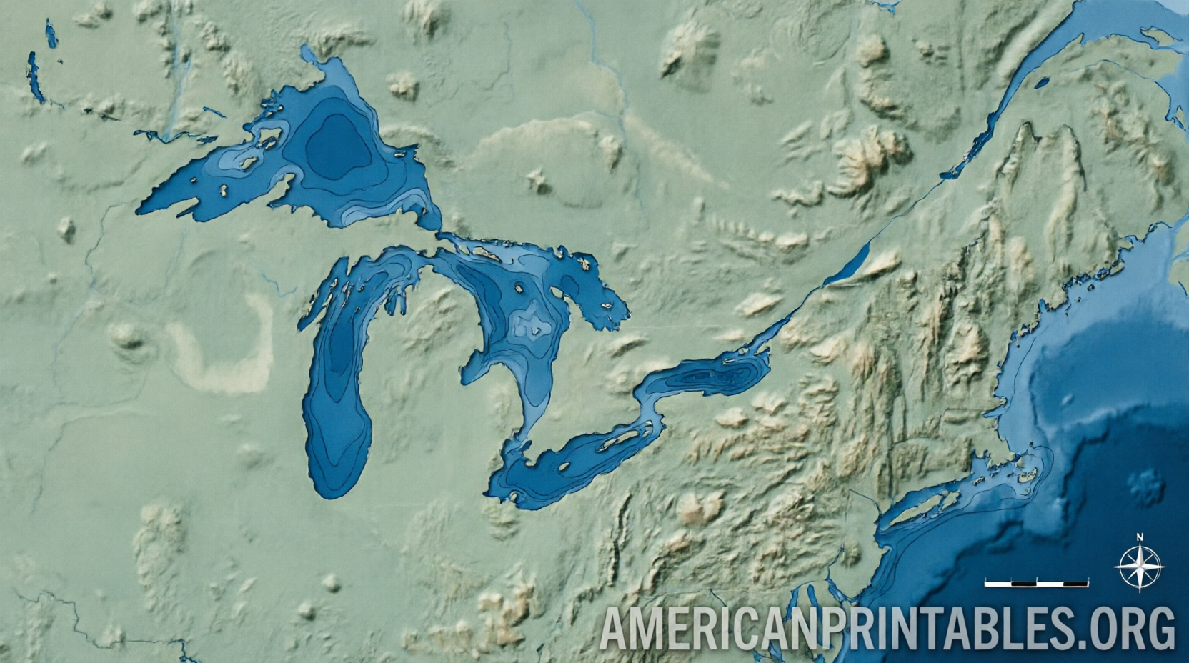
The National Oceanic and Atmospheric Administration offers free educational materials focused on the Great Lakes. These include the Great Lakes basin bathymetry map (showing depths and underwater features) along with posters and activity sheets.
Visit the official collection: NOAA Great Lakes printable activities and materials.
Direct bathymetry map image: Great Lakes Basin Bathymetry Map (NOAA/GLERL).
GIS Geography Free Downloadable Maps
This site provides several high-quality free maps of the Great Lakes, including detailed (with cities and states), physical/terrain, and simple versions. Individual lake maps are also available. Attribution is requested for reuse.
Download options: Map of the Great Lakes of North America – GIS Geography.
Printable World Map Free PDFs
A straightforward free PDF map of the Great Lakes region (and a focused lakes version) suitable for standard letter-size printing. These are designed for easy home or classroom use.
Access the free version: Great Lakes Map – PrintableWorldMap.net or the region map at Great Lakes Region Map.
These sources prioritize accuracy and official or clearly licensed free use. Always check the page for the latest download links and any attribution notes.
Free Printable Map of the Great Lakes
Tips for Printing and Using Your Map
- Use letter-size (8.5 x 11 inch) paper for most classroom or home printers. Larger maps may require tabloid paper or tiling.
- Choose landscape orientation for better lake coverage on many versions.
- For labeling practice, prefer blank or lightly labeled outline maps.
- Laminate or place in a sheet protector if students will write on the map repeatedly.
- Pair the map with facts: Lake Superior is the largest and deepest by volume; Lake Michigan is the only one entirely within the United States; the lakes together hold about 20% of the world’s surface freshwater.
Quick Facts About the Great Lakes
- Surface area order (largest to smallest): Superior, Huron, Michigan, Erie, Ontario.
- Bordering U.S. states: Minnesota, Wisconsin, Michigan, Illinois, Indiana, Ohio, Pennsylvania, New York.
- Connected to the Atlantic Ocean via the St. Lawrence River.
- Important for shipping, recreation, drinking water, and ecosystems across the Midwest and beyond.
FAQ
Are these maps truly free to print?
Yes. The linked NOAA resources are official U.S. government materials. GIS Geography and PrintableWorldMap explicitly offer free downloads for personal and educational use (follow any attribution guidelines shown on their pages).
Can I use the maps commercially or on a website?
Check each source’s terms. NOAA government works are generally public domain. GIS Geography requires attribution. PrintableWorldMap has terms of use for the free versions.
Where can I find blank outline maps for students to label?
Several of the educational and printable sites above include or link to simpler versions suitable for labeling the five lakes and surrounding states.
Is there an official government map specifically for the Great Lakes?
NOAA and related Great Lakes Environmental Research Laboratory materials provide reliable bathymetric and educational maps. Broader U.S. reference maps that include the lakes are also available through USGS National Atlas-style printable collections.
A free printable map of the Great Lakes is an easy, useful tool for learning about one of North America’s most important natural features. Start with the NOAA or GIS Geography links above for clear, accurate options you can download and print right away.