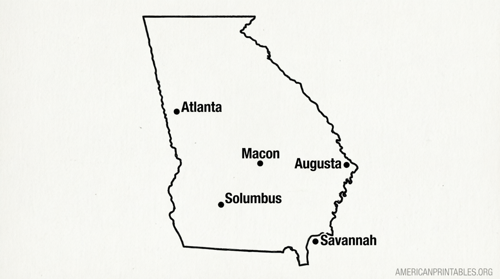
Free Printable Map of Georgia With Cities – Looking for a free printable map of Georgia with cities? Whether you need it for a school project, homeschool lesson, road trip planning, or classroom geography activity, several reliable sources offer downloadable maps that clearly show major cities across the Peach State.
Georgia’s major population centers include Atlanta (the capital), Augusta, Columbus, Savannah, Athens, Macon, and Albany, along with many smaller cities and towns. A good labeled map helps students and travelers quickly locate these places, understand regional layout, and learn state geography.
Below you’ll find trusted places to download free printable maps of Georgia that include cities, plus tips on how to use them.
Where to Download Free Printable Maps of Georgia With Cities?
One of the most straightforward options is a clean, labeled PDF designed for standard US Letter paper.
You can download a free printable map of Georgia with cities (labeled) from The 50 United States. The map is available as a PDF, ready to print, and is free for educational and homeschooling use.
Download the Free Labeled Georgia Cities Map (PDF)
Another solid collection comes from Waterproof Paper. Their Georgia page includes a map of Georgia cities with city names, plus outline, county, and blank versions—all free for personal or educational printing.
View Free Printable Georgia Maps (Cities, Counties & Outlines)
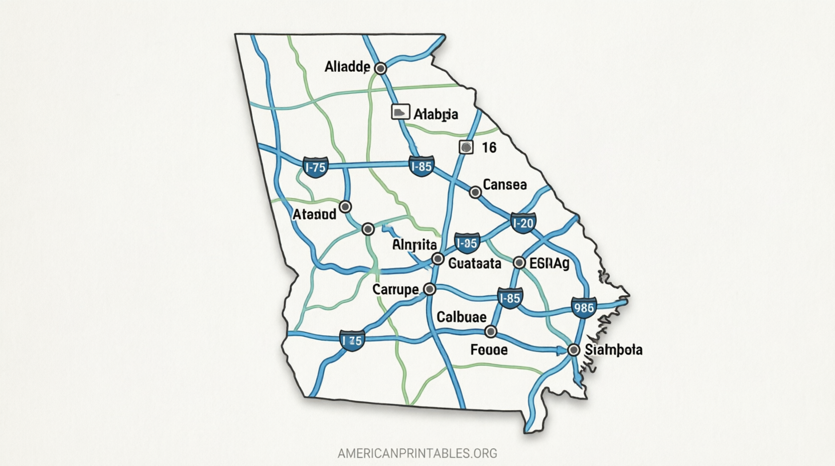
For a more detailed reference that shows cities along with roads, rivers, and lakes, GIS Geography offers a downloadable map of Georgia. It is free to use for educational and commercial purposes with proper attribution.
Download the Georgia Map with Cities and Roads
If you prefer an official government source, the Georgia Department of Transportation (GDOT) publishes the current Official Georgia Highway & Transportation Map. This detailed map shows cities, highways, and other features and is available for free download from GDOT’s maps page.
Download the Official GDOT Georgia Highway Map
These sources prioritize free access without paywalls or mandatory sign-ups for the basic printable files. Always check the individual site’s terms for any usage notes (most allow personal and classroom printing).
Free Printable Map of Georgia With Cities
How to Choose and Print the Right Georgia Map?
Decide what level of detail you need:
- Simple labeled cities map for labeling practice or quick reference
- Cities plus major highways for travel planning
- County maps if you also want political boundaries
Most free maps are formatted for standard 8.5 × 11 inch paper. For best results:
- Open the PDF and select “Fit to page” or “Actual size” in your printer settings
- Use landscape orientation when the map is designed that way
- Print in color if available for easier city identification, or black-and-white for coloring activities
Blank or outline versions pair well with the labeled maps so students can practice locating Atlanta, Savannah, Columbus, and other key cities.
Practical Uses for a Free Printable Map of Georgia With Cities
Teachers and parents often use these maps for:
- Geography lessons and state studies
- Identifying the capital and largest cities
- Comparing coastal cities (Savannah) with inland ones (Atlanta, Macon)
- Road-trip or vacation planning across Georgia
Travelers appreciate having a paper backup that shows relative distances between major cities without relying on a phone signal.
FAQ
Are these maps really free to print?
Yes. The sources listed above provide free downloads for personal and educational use. Some require attribution if you share them publicly.
What cities appear on most free Georgia maps?
Commonly labeled cities include Atlanta, Augusta, Columbus, Savannah, Athens, Macon, Albany, and often additional places such as Roswell, Marietta, and Valdosta.
Can I use these maps in a classroom?
Most of the free educational maps explicitly allow classroom and homeschool use. Check the specific download page for any restrictions.
Is there an official free state map?
Yes. The Georgia Department of Transportation offers the official highway and transportation map that includes cities and roads.
A free printable map of Georgia with cities is an easy, practical resource for learning or planning. Start with one of the labeled PDFs above, print a copy, and you have a clear reference ready in minutes.