Free Printable Map of the Netherlands – Looking for a free printable map of the Netherlands? Whether you are a teacher preparing a geography lesson, a student working on a project, a parent supporting homeschool activities, or a traveler planning a trip, a clear outline or labeled map makes learning and reference easy.
This resource page explains what these maps typically include, why they are useful for a U.S. audience, and where to download legitimate free versions. All recommended sources offer free downloads suitable for personal, educational, or non-commercial use (check each site for any attribution requirements).
Why Download a Free Printable Map of the Netherlands?
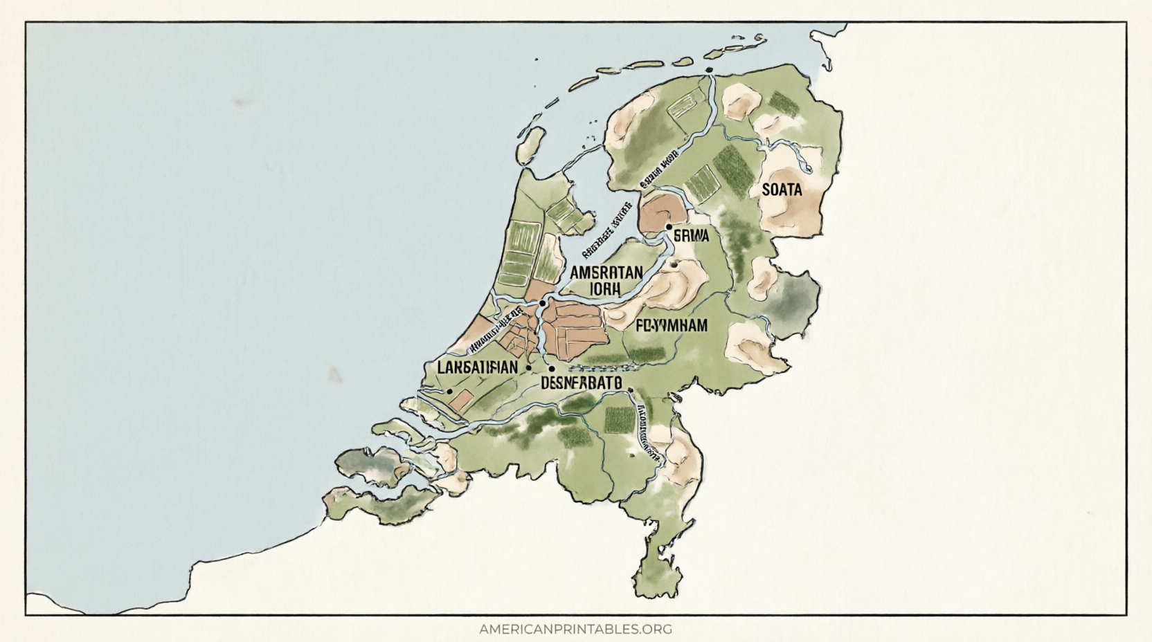
The Netherlands (often casually called Holland) is a compact Western European country bordered by the North Sea, Belgium, and Germany. It is slightly smaller than twice the size of New Jersey and is famous for its low-lying polders, extensive canal systems, provinces, and cities such as Amsterdam, Rotterdam, The Hague, and Utrecht.
A printable map helps U.S. users:
- Teach or learn the 12 provinces and major cities.
- Label features for classroom worksheets or quizzes.
- Plan travel routes or visualize locations.
- Support creative projects, history lessons, or current-events discussions.
Blank outline maps work especially well for coloring and labeling activities. Labeled or political versions provide ready reference.
Types of Free Printable Netherlands Maps
Common free options include:
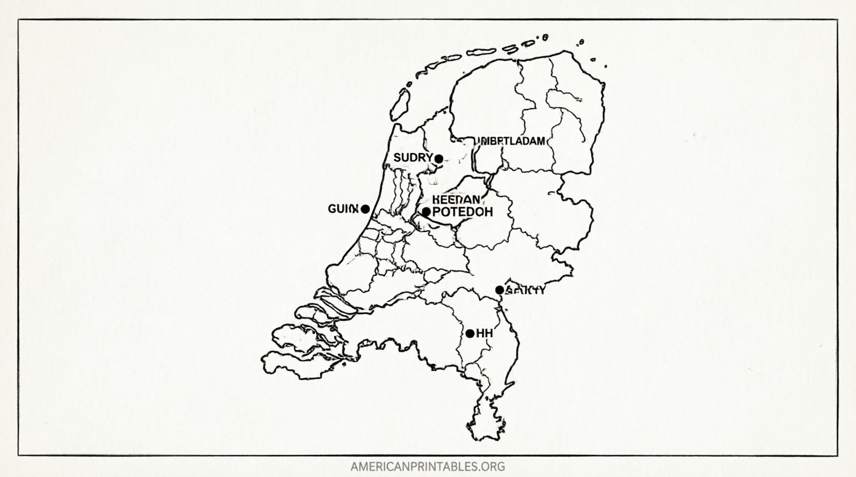
- Blank outline maps (country shape only).
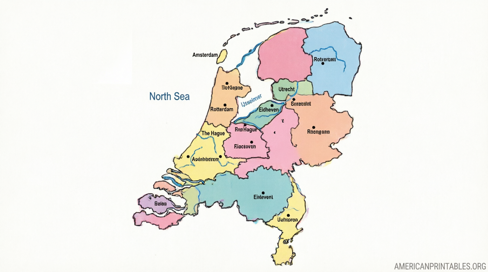
- Maps showing the 12 provinces.
- Maps highlighting the capital (Amsterdam) or major cities.
- Black-and-white versions ideal for printing and coloring.
- SVG or vector formats that scale cleanly for larger prints.
Most free printable maps are designed for standard letter or A4 paper and download as PDF or image files.
Where to Get Legitimate Free Printable Maps?
Here are trusted sources that currently offer free downloads. Always verify the license on the page before use.
Mappr – Free Printable Netherlands Maps
This site provides a range of free downloadable maps, including blank outlines, location on the globe or Europe, capital-highlighted versions, and black-and-white options. Maps are free to download and share with attribution under a Creative Commons license.
Download free printable maps of the Netherlands from Mappr
World Map Blank – Blank Map of the Netherlands (PDF)
Offers free blank outline maps, versions with provinces, cities, capitals, and neighboring countries. Available as PDF and JPEG for easy printing.
Get free blank Netherlands maps in PDF from World Map Blank
Simplemaps – Free Blank Netherlands SVG Maps
Provides clean, optimized SVG maps of the Netherlands (with and without provinces). Free for commercial and personal use; attribution is appreciated. These vector files print sharply at any size.
Download free Netherlands SVG maps from Simplemaps
Wikimedia Commons – Public Domain CIA Map
A classic public-domain map originally from the CIA World Factbook showing the Netherlands with major cities. Suitable for free printing and educational use.
View and download the public-domain CIA Netherlands map
These sources prioritize free access without requiring payment. Avoid sites that gate downloads behind paid memberships or unclear licenses if you need a truly free printable.
Free Printable Map of the Netherlands
How to Print and Use Your Map?
- Download the PDF or image file.
- Open it in a browser or PDF reader.
- Set your printer to letter size (or A4) and “fit to page” if needed.
- Use black-and-white versions for coloring activities or color versions for reference.
- For classroom use, print multiple copies or project the digital file.
Tip for U.S. users: Pair the map with a quick size comparison (Netherlands ≈ 1.8 times New Jersey) and notes on the Randstad urban area (Amsterdam–Rotterdam–The Hague–Utrecht) to make the geography more relatable.
Brief FAQ
Are these maps really free?
Yes. The linked sources explicitly offer free downloads for the maps described. Always review the specific license or attribution note on each page.
Can I use them in a classroom or for commercial projects?
Most allow personal and educational use. Some (such as Simplemaps and Mappr) also permit commercial use with attribution. Check the individual terms.
What is the difference between a blank map and a political map?
A blank (outline) map shows only borders so users can label features themselves. A political map typically includes province boundaries, cities, or other labels already marked.
Is “Holland” the same as the Netherlands?
Holland traditionally refers to two provinces (North Holland and South Holland). The official country name is the Netherlands.
A free printable map of the Netherlands is a simple, practical tool for learning, teaching, or planning. Start with one of the trusted links above, print a copy, and explore the country’s unique geography.