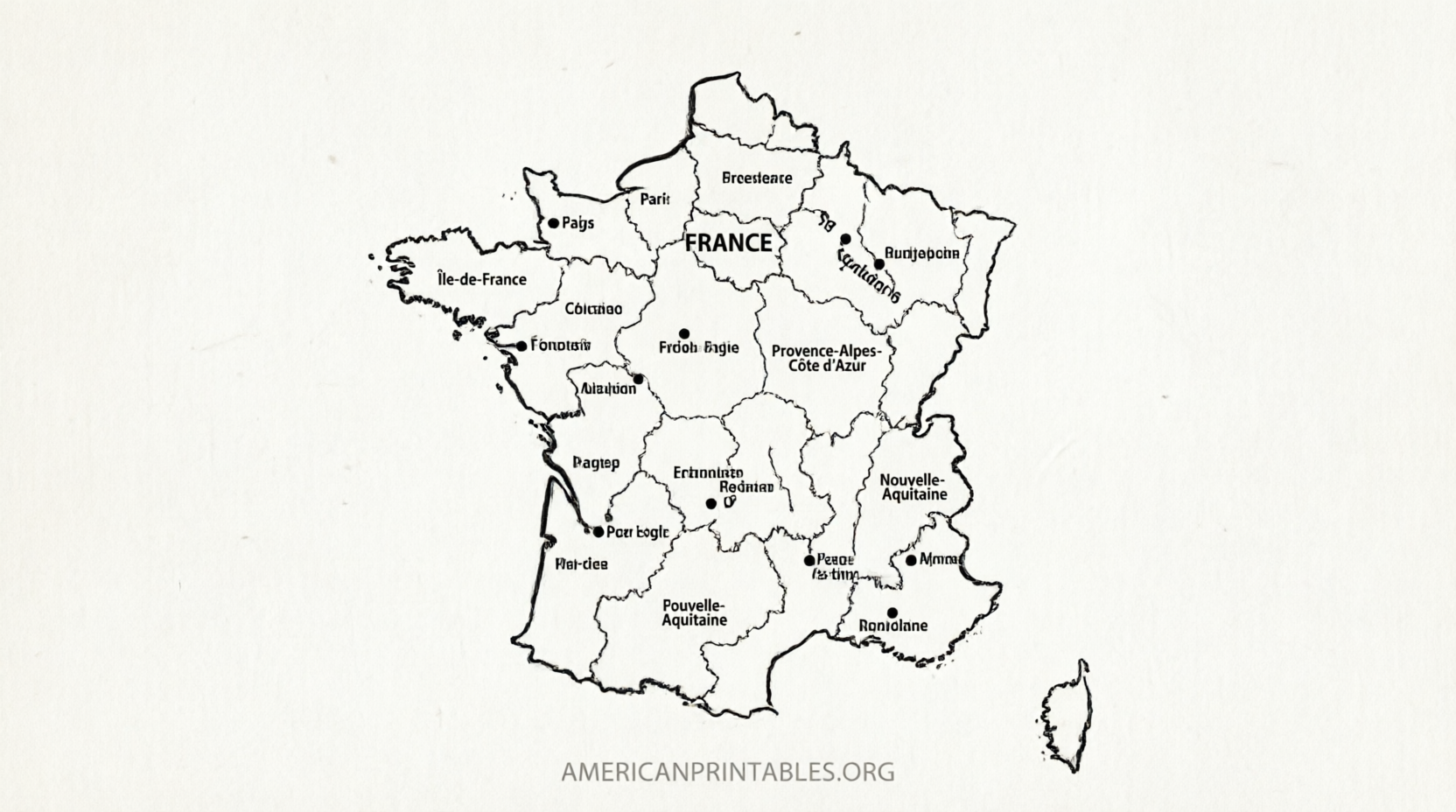
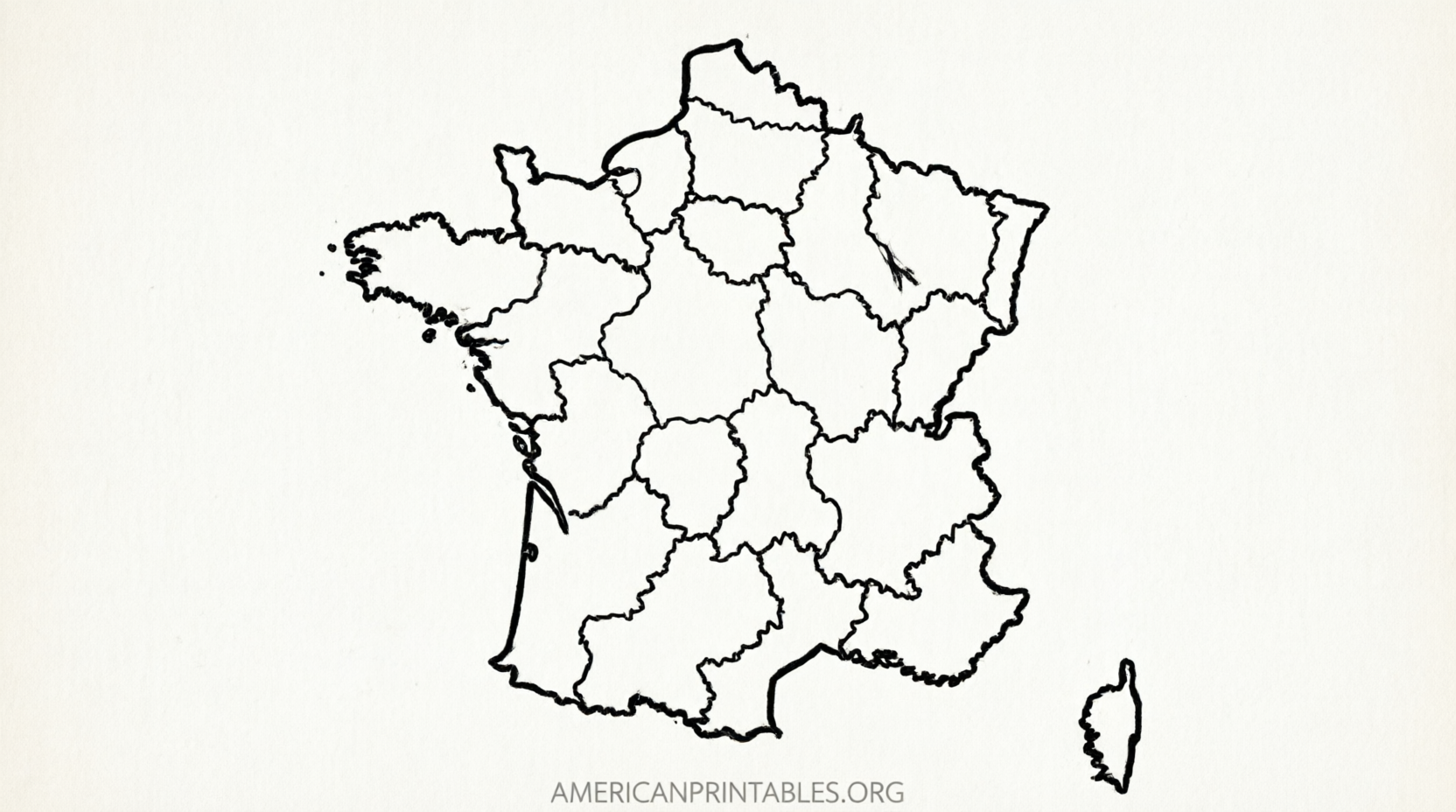
Free Printable Map of France – Blank PDFs – Looking for a free printable map of France? Whether you need a blank outline for a school project, a regions map for geography class, or a simple France map to label, several legitimate sources offer high-quality downloads you can print at home on standard US Letter paper.
France is divided into 13 metropolitan regions (plus Corsica) and 5 overseas regions. Blank or lightly detailed maps help students learn borders, capitals, rivers, and major cities without the distraction of full labels. Below you’ll find trusted places to download free printable maps of France, plus practical tips for printing and using them.
Why Use a Free Printable Map of France?
Blank and outline maps of France are popular in US classrooms and homeschool settings because they encourage active learning. Students can:
- Label the 13 mainland regions and their capitals
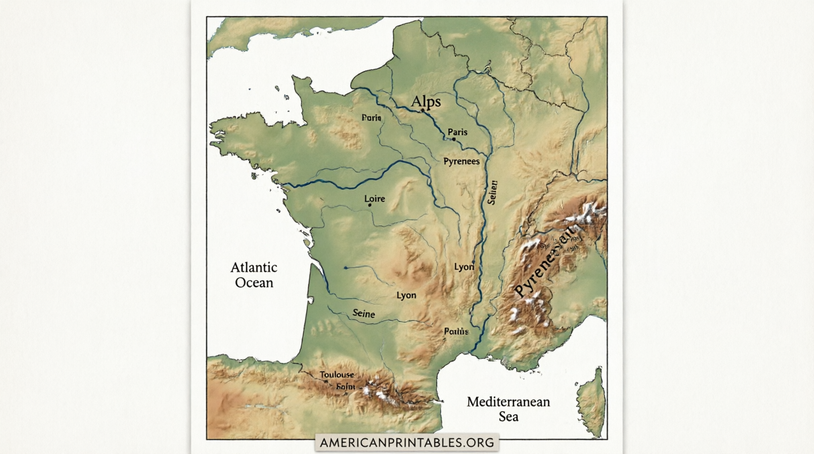
- Mark major rivers (Seine, Loire, Rhône, Garonne)
- Identify mountain ranges such as the Alps and Pyrenees
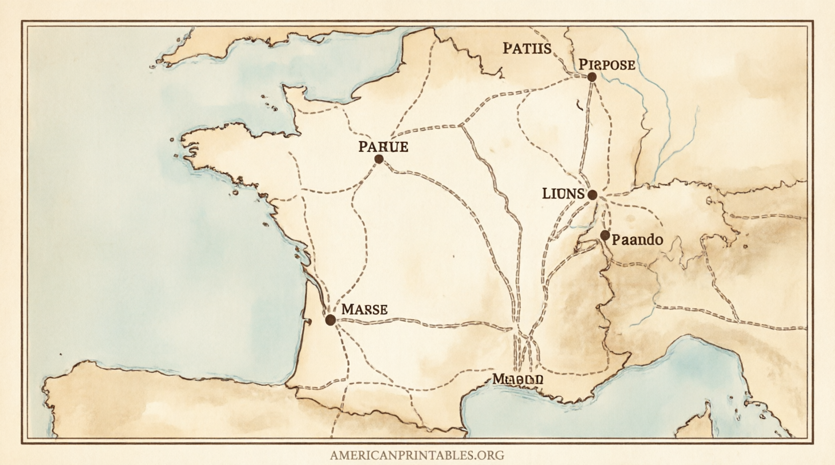
- Practice locating Paris and other key cities
These maps also work well for travel planning, presentations, or personal projects. Most free versions come as PDF or high-resolution images sized to print cleanly on US Letter (8.5 × 11 inches) or A4 paper.
Best Free Sources for Printable Maps of France
Here are reliable, currently available sources. All offer free downloads with no sign-up required for the basic maps.
Official French Geographic Institute (IGN)
The Institut national de l’information géographique et forestière (IGN) provides high-quality educational base maps under an open license. You can download blank maps showing regions, departments, rivers, and physical features in PDF, JPG, SVG, and other formats. These are ideal for accurate classroom use.
Download free IGN educational maps of France
WorldMapBlank – US Letter-Friendly PDFs
WorldMapBlank offers free blank maps of France with region borders and simple outline versions. Files are high-resolution PDF and JPEG, designed to print on both A4 and US Letter without cropping. Perfect for quizzes and homework.
Get the free blank map of France (PDF/JPEG)
A labeled version with the 13 mainland regions and capitals is also available free:
Free labeled map of France with regions
Mappr – Multiple Blank Styles
Mappr provides several free printable options: plain outline, region-border blank, numbered/labeled reference, colored versions, and department-level maps. All are free for personal and classroom use and print well on US Letter or A4.
Download free France blank maps from Mappr
Wikimedia Commons – Public-Domain and Open-License Maps
Wikimedia Commons hosts a large collection of blank and outline maps of France, many under Creative Commons or public-domain licenses (including older CIA World Factbook maps). Search the category for SVG files that scale perfectly for any print size.
Browse blank maps of France on Wikimedia Commons
Free Printable Map of France – Blank PDFs
Tips for Printing and Using Your Map
- Choose PDF when possible for the sharpest lines.
- Set your printer to “Actual size” or 100% scale and use minimal margins.
- For classroom sets, print in black-and-white to save ink; color versions work better for wall displays.
- Laminate a master copy or use clear sheet protectors so students can write with dry-erase markers.
- Pair a blank map with a labeled reference so learners can self-check.
Most of these maps focus on metropolitan France. Overseas regions (Guadeloupe, Martinique, French Guiana, Réunion, and Mayotte) usually appear as inset boxes when included.
Quick FAQ
Are these maps truly free?
Yes. The sources listed above offer free downloads for personal, educational, and non-commercial use. Always check the specific license (many require attribution for public sharing).
Will they print on US Letter paper?
Yes. WorldMapBlank and Mappr maps are explicitly sized for US Letter. IGN and Wikimedia files can be scaled to fit.
Do the maps show departments or just regions?
Both options exist. Region maps are most common for general education; department maps provide finer detail.
Can I use them commercially?
Check each site’s license. IGN uses an open Etalab license; Wikimedia maps vary. When in doubt, stick to educational or personal use.
A free printable map of France is a simple, effective tool for learning geography. Start with one of the trusted links above, print a few copies, and you’ll have a ready resource for lessons, quizzes, or personal projects.