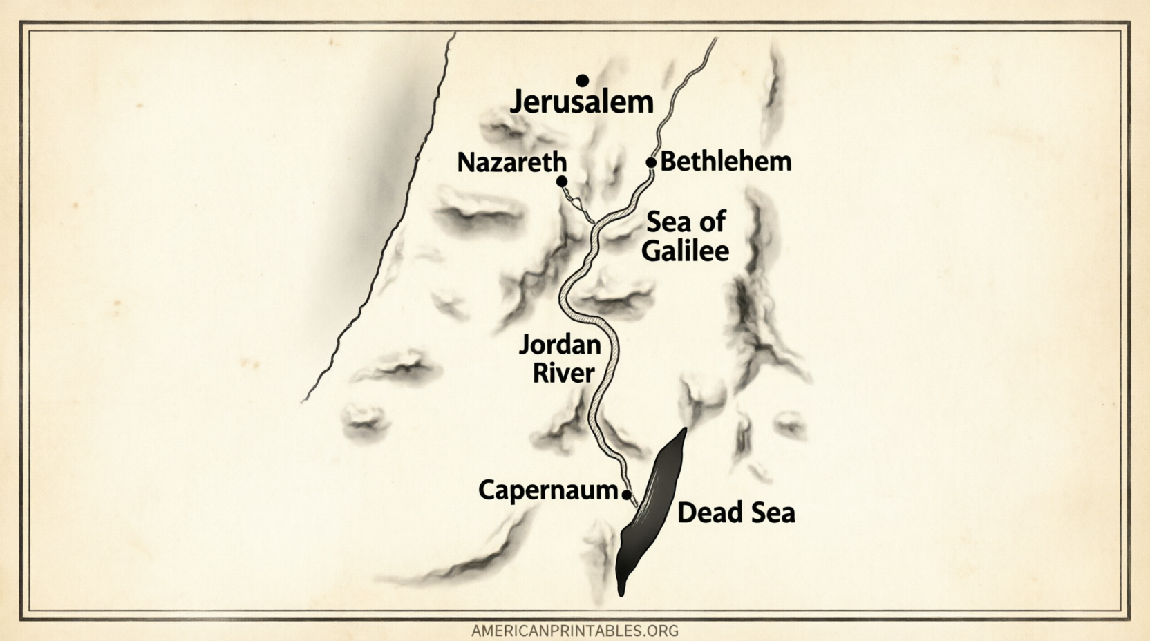
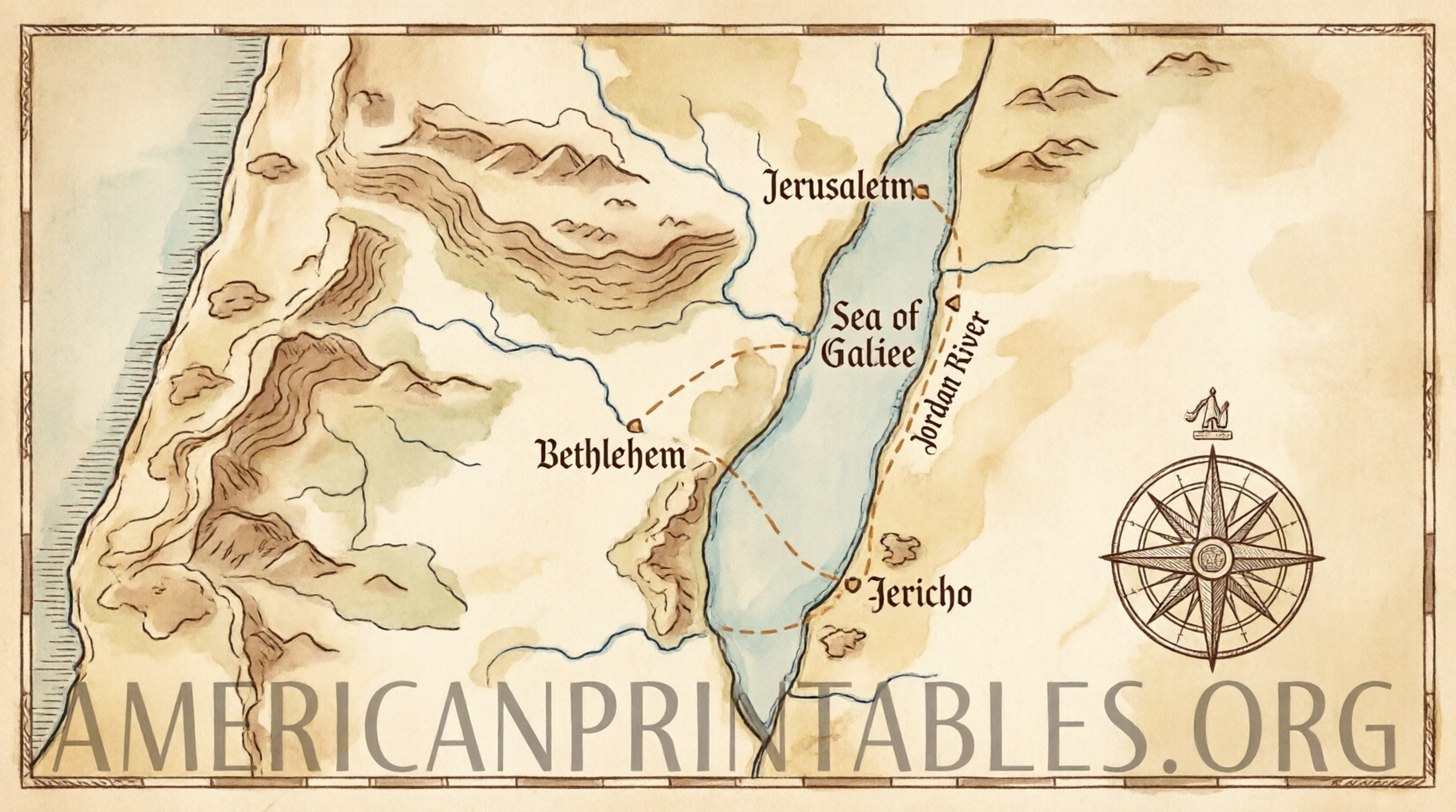
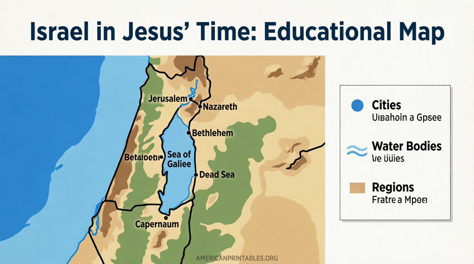
Free Printable Map of Israel in Jesus’ Time – A free printable map of Israel in Jesus’ time offers a clear visual of the Holy Land during the first century AD. This period covers the Roman province of Judea (often called Palestine by the Romans), the divisions of Herod the Great’s kingdom, and the regions of Galilee, Samaria, and Judea where the events of the Gospels unfolded.
These maps help Bible readers, Sunday school teachers, homeschoolers, and church groups in the United States place key locations—such as Nazareth, Capernaum, Bethlehem, Jerusalem, the Sea of Galilee, and the Jordan River—in geographic context. They show political boundaries after Herod’s death, major roads, and bodies of water that shaped travel and ministry in the New Testament era.
Why a Map of Israel in Jesus’ Time Matters?
Understanding the landscape makes the Gospels more vivid. Jesus grew up in Nazareth in Galilee, taught along the Sea of Galilee, traveled through Samaria, and spent his final days in and around Jerusalem in Judea. Roman rule, Herodian tetrarchies, and the Decapolis influenced daily life and the movement of people.
A well-designed free printable map of Israel in Jesus’ time highlights these regions, cities, and routes without modern political borders that can confuse historical study. It supports personal devotion, classroom lessons, small-group discussions, and children’s activities.
Trusted Free Printable Resources
Here are verified, legitimate sources that offer free downloadable or printable maps of Israel (or the Holy Land/Palestine) during the time of Jesus. All links open in a new tab.
One of the strongest modern options comes from Bible Mapper Atlas. Their high-resolution poster-style map of the land of Israel during the New Testament is designed for printing at large sizes (such as 24 × 36 inches) yet scales well for home or classroom use. Free downloads are available in 384 dpi and 192 dpi formats:
Bible Mapper Atlas – Poster Map of the Land of Israel during the New Testament (direct image downloads linked on the page).
Bible History Online provides a clear color political map of Israel in New Testament times (with roads and primary locations) and offers a PDF version suitable for printing:
Bible History – Map of Israel in the Time of Jesus (includes PDF for print).
For a Creative Commons-licensed option, Wikimedia Commons hosts a detailed map of Judaea and surrounding areas at the time of the Gospels. It is free to download, print, and use with proper attribution under the CC BY-SA 4.0 license:
Wikimedia Commons – Map of Judaea at the time of Jesus.
These three resources prioritize accuracy, accessibility, and free personal, educational, or church use. Always check the individual page for any specific terms of use.
Free Printable Map of Israel in Jesus’ Time
How to Print and Use Your Map?
Download the highest-resolution file available. For standard home printers, select letter (8.5 × 11 inches) or legal size and choose “fit to page” or “actual size” depending on the map’s orientation. For posters or classroom walls, take the high-dpi file to a local print shop or office-supply store for large-format color printing and optional lamination.
Color versions work well for teaching; black-and-white versions (when available) save ink for student handouts. Pair the map with a Bible reading plan, a timeline of Jesus’ ministry, or simple labeling activities for children. Mark key sites such as Bethlehem (birth), Nazareth (childhood and early ministry), Capernaum (base of operations), and Jerusalem (final week) to reinforce the narrative.
Key Regions and Locations Shown on Most Maps
Most free printable maps of Israel in Jesus’ time show:
- Galilee in the north (Nazareth, Capernaum, Sea of Galilee, Chorazin, Bethsaida)
- Samaria in the center
- Judea in the south (Jerusalem, Bethlehem, Jericho)
- The Jordan River and Dead Sea
- Coastal areas and the Decapolis region
- Political divisions after Herod the Great (ruled by Archelaus, Antipas, and Philip under Roman oversight)
These elements help readers follow Jesus’ journeys described in the Gospels and the early church expansion in Acts.
Brief FAQ
Are these maps historically accurate?
They are reconstructions based on biblical texts, Josephus, archaeological findings, and scholarly consensus. Exact road networks and some boundary lines involve some interpretation, but the major regions and cities are well established.
Can I use the maps in church or school?
Yes for the resources listed above, provided you follow any noted personal, educational, or non-commercial guidelines and give attribution where required (especially Wikimedia).
What size should I print?
Letter size works for individual study or notebooks. Larger formats (tabloid or poster) suit classrooms and wall displays.
Where else can I find related free maps?
Look for public-domain collections of older Bible atlases or additional free New Testament maps on established Bible geography sites that clearly state free-to-print status. Avoid sites that require payment after promising free downloads.
A free printable map of Israel in Jesus’ time turns abstract Bible stories into a tangible landscape. Download one of the trusted resources above, print it, and use it to deepen your understanding of the places where Jesus lived, taught, and ministered.