Free Printable Map of Oahu Hawaii Guide – Planning a trip to Oahu? A free printable map of Oahu helps you navigate Hawaii’s most visited island without relying solely on your phone. Whether you’re exploring Waikiki, the North Shore, Pearl Harbor, or scenic drives, a paper map stays useful when signal is weak or battery is low.
This guide points you to legitimate, current sources for free printable Oahu maps so you can download and print them at home.
Why You Need a Free Printable Map of Oahu?
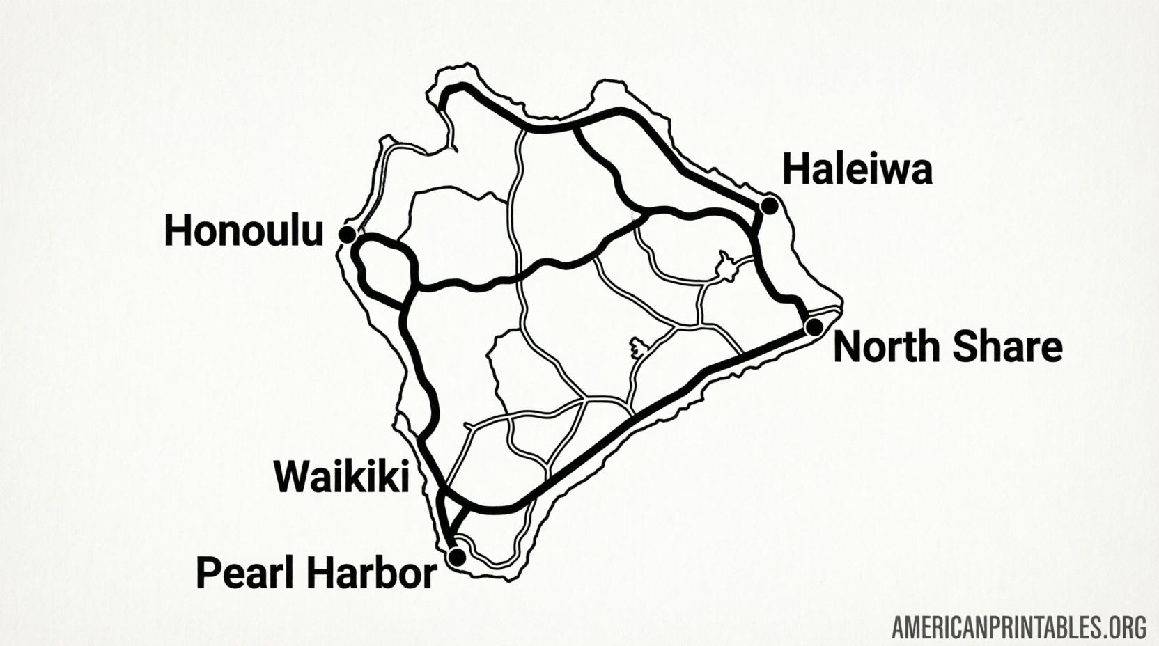
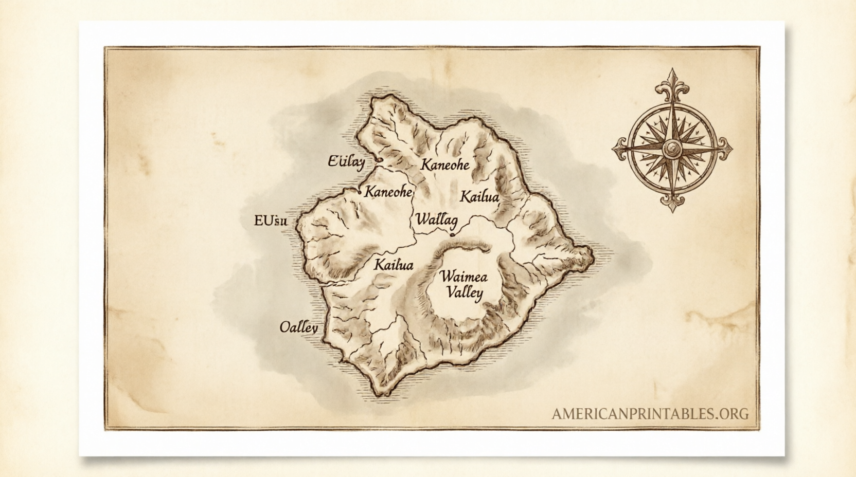
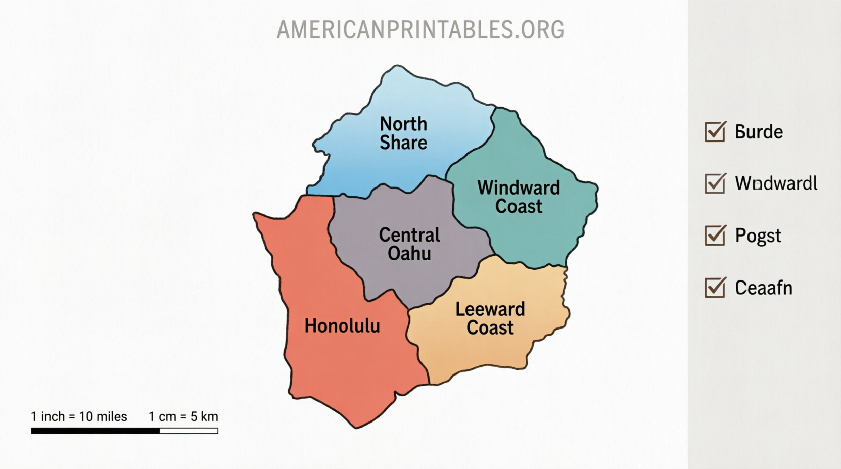
Oahu is compact—about 597 square miles—but traffic on H-1 and H-2 can slow travel, and many beaches, trails, and viewpoints sit off major highways. A printed map shows regions at a glance: Honolulu/Waikiki (south), North Shore (surf spots), Windward Coast (Kailua and Lanikai), Leeward Coast (west side), and Central Oahu.
Printable maps typically mark airports, major roads, beaches, and attractions. They work well alongside apps for offline planning or as a backup.
Official Free Printable Oahu Map from Go Hawaii
The Hawaii Tourism Authority’s official site offers a free PDF driving map of Oʻahu. It is designed for printing and covers key itinerary information for visitors.
Download the free PDF driving map of Oʻahu directly here:
Go Hawaii Oahu Driving Map (PDF)
You can also view an image version of the map on the same official page for quick reference. This is one of the most authoritative free resources available.
Additional Trusted Free Printable Oahu Maps
Several reputable travel and geography sites provide free printable or downloadable Oahu maps suitable for personal use.
- Hawaii-Guide.com offers multiple free printable maps. Click any map image to view full size or download for offline use. Options include illustrated road maps, topographic versions, road maps with driving times, neighborhood maps, and beach maps. Visit the page here: Hawaii-Guide Free Printable Oahu Maps. (Note: They also sell a higher-resolution paid packet; the basic maps listed as free are available at no cost.)
- OnTheWorldMap.com provides a detailed map showing roads, the airport, cities, towns, beaches, parks, and tourist attractions. It explicitly allows download and printing for educational, personal, and non-commercial purposes (attribution required if used online). Access it here: OnTheWorldMap Oahu Map.
- GIS Geography has free downloadable JPEG maps, including a road map with highways, a “things to do” map, and a reference map covering places of interest and airports. Download links appear on the page: GIS Geography Oahu Maps.
These sources focus on practical visitor information and do not require payment for the basic printable versions.
Free Printable Map of Oahu Hawaii Guide
How to Print and Use Your Oahu Map?
- Download the PDF or image from one of the links above.
- Open it on a computer or tablet.
- Print on letter-size (8.5 x 11) paper in landscape or portrait as needed. Color prints show landmarks more clearly; black-and-white works for basic navigation.
- Laminate or place in a clear sleeve if you expect rain or repeated handling.
- Mark your hotel, planned stops, and estimated drive times.
Pair the printed map with current traffic apps, since Oahu roads can experience heavy congestion during morning and evening rush hours.
Tips for Navigating Oahu with a Printable Map
- Note the two main mountain ranges: the Koʻolau (east/windward, greener and wetter) and Waiʻanae (west/leeward, drier).
- Key routes include H-1 (Honolulu corridor), H-2 (to North Shore/Central), and coastal highways such as Kamehameha Highway.
- Popular free or low-cost stops often appear on tourist maps: Diamond Head, Pearl Harbor National Memorial, Hanauma Bay (reservations recommended), and North Shore beaches.
- Always check official park or attraction websites for current access rules, parking, and safety notices before heading out.
Brief FAQ
Are these maps truly free?
Yes. The official Go Hawaii PDF and the free versions on the listed sites can be downloaded and printed at no cost for personal use. Avoid sites that demand payment or personal data for basic maps.
Can I use a phone map instead?
Phone maps are excellent for turn-by-turn directions, but a printed free printable map of Oahu provides a full-island overview and works offline.
What if I need a more detailed or higher-resolution version?
Some sites offer paid upgraded packets. Stick to the free official and reputable free options first—they cover most visitor needs.
A free printable map of Oahu is a simple, reliable tool for planning your Hawaii trip. Start with the official Go Hawaii PDF, then explore the additional free options above to match the style or detail level you prefer. Safe travels and enjoy the Gathering Place.