Free Printable Map of Kentucky – Download PDFs – Looking for a free printable map of Kentucky? Whether you need a blank outline for a school project, a county map for geography class, a city map for travel planning, or an official highway map for road trips, several trusted sources offer high-quality, ready-to-print options at no cost.
These free printable Kentucky maps work well on standard US Letter paper and suit teachers, homeschoolers, students, travelers, and anyone who wants a quick reference. Below you’ll find the best legitimate places to download them, plus tips on choosing the right type.
Best Places to Download a Free Printable Map of Kentucky
Start with official or well-established free resources so you get accurate, up-to-date maps without watermarks or paywalls.
Official Kentucky Highway Map (Recommended for Drivers)
The Kentucky Transportation Cabinet (KYTC) provides the current Official Highway Map as free downloadable PDFs. Choose the full official version (with mileage charts and indices) or a plain version. These maps show interstates, state routes, cities, and key landmarks across the Commonwealth.
Download the latest maps directly from the KYTC Official Highway Map page: Official Kentucky Highway Map PDFs.
Blank Outline, County, and City Maps
For educational or DIY use, free printable Kentucky maps with state outlines, county boundaries, and major cities are widely available.
- Waterproof Paper offers a solid collection including a blank state outline, labeled and blank county maps, and city maps with major locations such as Louisville, Lexington, Frankfort, and Bowling Green. All are free PDF downloads for personal or classroom use: Printable Kentucky Maps (Outline, Counties, Cities).
- Mappr provides clean blank outline maps of Kentucky plus county versions (blank, labeled, colored, and practice/quiz styles). These print clearly on letter-size paper and are free for personal and classroom use: Free Blank Kentucky Maps from Mappr.
Additional Reliable Option
50states.com hosts a simple printable outline map of Kentucky ideal for quizzes or coloring activities: 50states.com Kentucky Map.
(Note: Always download only from the official pages linked above. Avoid third-party sites that add watermarks, require email sign-ups for basic maps, or claim “free” files that lead to paid upgrades.)
Free Printable Map of Kentucky – Download PDFs
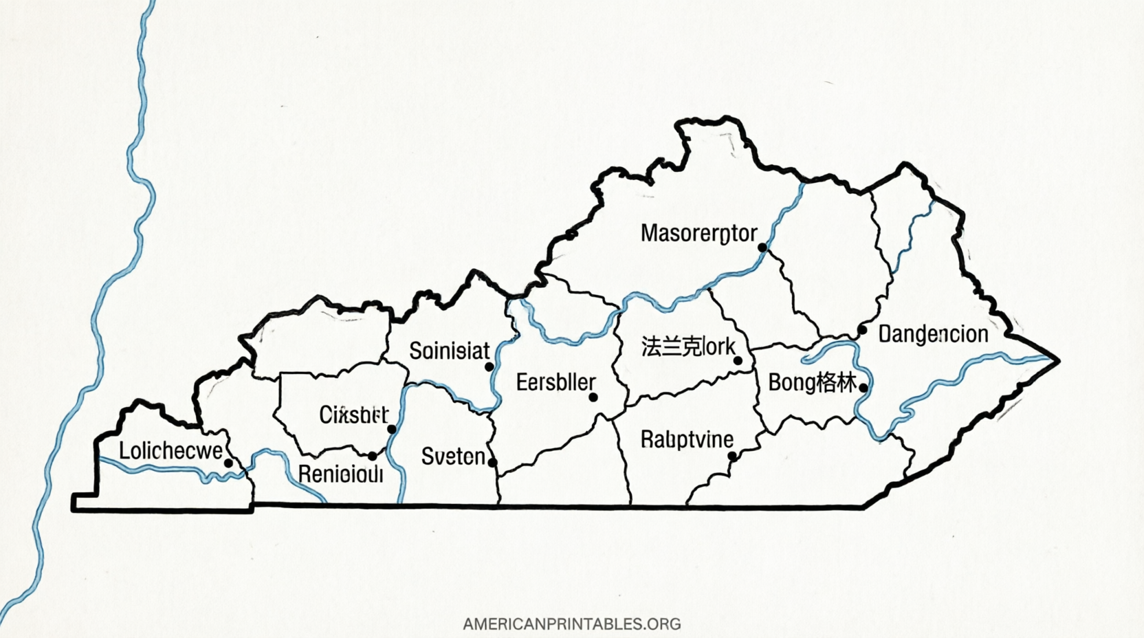
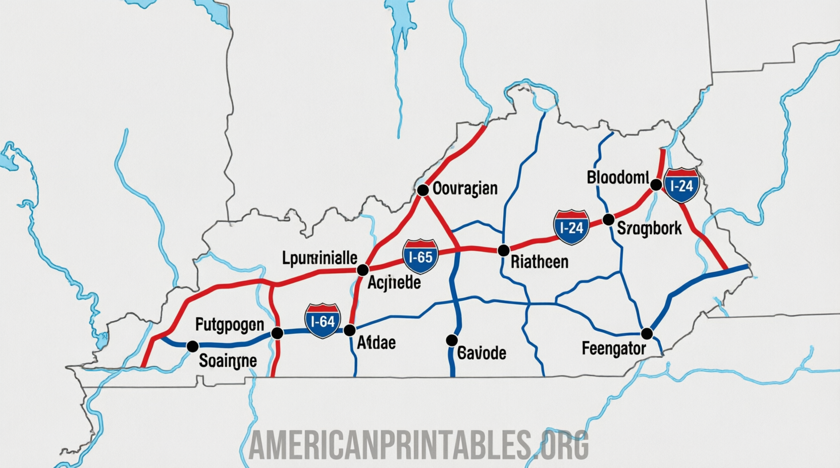
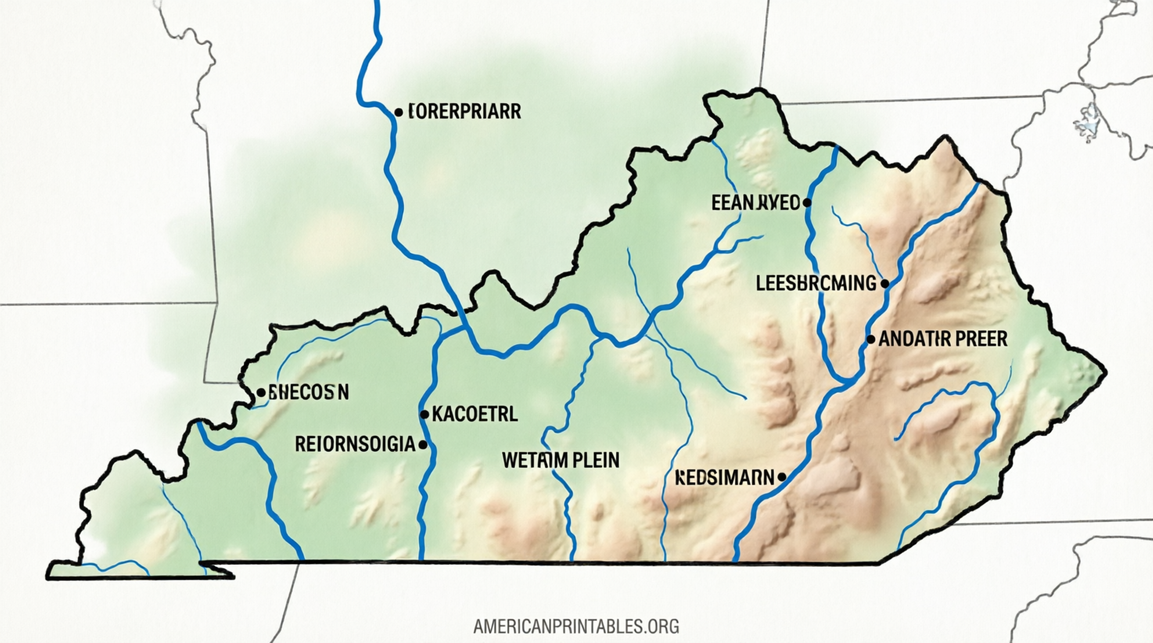
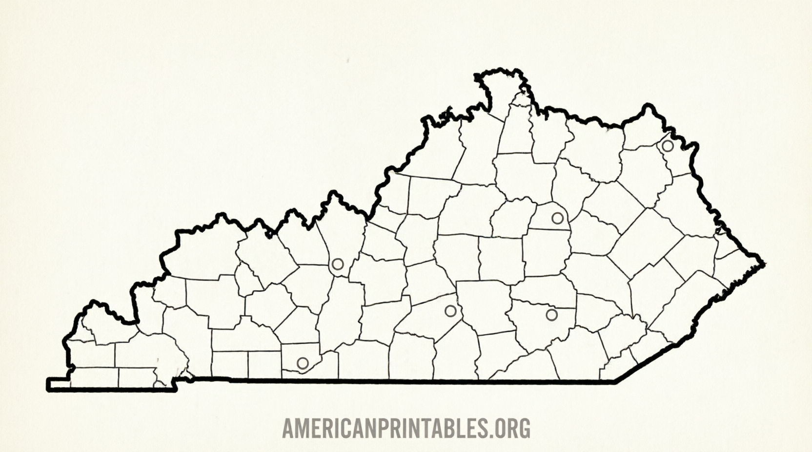
Types of Free Printable Kentucky Maps and When to Use Them
- Blank outline map – Perfect for labeling rivers, cities, or regions yourself. Great for elementary geography or homeschool units.
- County map – Kentucky has 120 counties. Blank or labeled versions help with state history, elections, or local studies.
- City and capital map – Shows Frankfort (capital), Louisville, Lexington, Bowling Green, Owensboro, and other key places. Useful for travel planning or research papers.
- Highway / road map – The official KYTC version is best for drivers and includes major routes.
- Physical or topographic style – Some educational sites include basic terrain features; for detailed USGS topographic maps, search the free USGS tools separately.
Most free printable maps of Kentucky are designed for black-and-white or color printing on standard home or school printers.
Quick Tips for Printing and Using Your Map
- Download the PDF rather than printing a webpage screenshot for the sharpest results.
- Use “Fit to page” or 100% scale in your printer settings.
- For classroom sets, print on thicker paper or laminate if the maps will be reused.
- Combine a blank map with online research for an interactive lesson (label the Ohio River, Mammoth Cave area, Bluegrass region, etc.).
- Check the publication or update date on official maps if you need the most current road information.
FAQ
Are these maps really free?
Yes. The linked sources from KYTC, Waterproof Paper, Mappr, and 50states.com clearly offer free downloads for personal, educational, and non-commercial use.
Can I use them in a classroom or for commercial projects?
Personal and classroom use is generally allowed. For commercial or large-scale distribution, review each site’s terms or contact the provider.
What’s the best free printable map of Kentucky for kids?
A blank outline or simple labeled county/city map works best. The versions on Mappr and Waterproof Paper are clean and easy to color or label.
Where can I find a detailed road map?
Go straight to the Kentucky Transportation Cabinet’s Official Highway Map page for the most accurate free PDF versions.
A free printable map of Kentucky is just a couple of clicks away. Start with the official KYTC highway maps for travel accuracy or the educational blank and county versions for school projects. Download, print, and you’re ready to explore the Bluegrass State on paper.