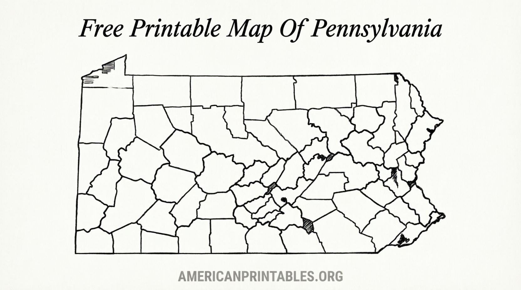
Free Printable Map of Pennsylvania (PDF) – Looking for a free printable map of Pennsylvania? Whether you need a blank outline for a classroom project, a county map for geography lessons, or an official highway and tourism map for travel planning, several reliable sources offer high-quality downloads at no cost.
This guide points you to legitimate free options from official state resources and public-domain educational sites. All links open in a new tab and use nofollow for transparency.
Why Download a Free Printable Map of Pennsylvania?
Pennsylvania covers about 46,000 square miles and includes 67 counties. A printable map helps students label counties and cities, travelers plan routes across the Keystone State, teachers create worksheets, or families track visits.
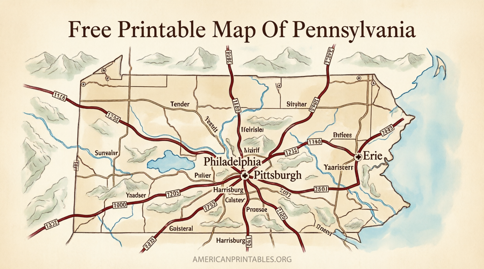
Blank versions work well for quizzes and coloring. Labeled or detailed maps show major cities such as Philadelphia, Pittsburgh, and Harrisburg, plus highways, rivers, and neighboring states. Official maps from PennDOT provide accurate road and tourism information.
Official Free Maps from PennDOT
The Pennsylvania Department of Transportation (PennDOT) offers free downloadable PDF maps that you can print at home. These are authoritative resources maintained by the state.
Visit the official Tourism and Transportation Maps page for the full statewide map, quadrant maps, and related files:
PennDOT Tourism and Transportation Maps.
Direct PDF examples include the Full Tourism and Transportation Map and the Statewide Tourism & Transportation Map. These show major highways, cities, and points of interest and print clearly on standard letter-size paper.
For a clean county outline map, PennDOT also provides a free County Outlines PDF on its Statewide Maps page:
PennDOT Statewide Maps (including County Outlines).
These official files are ideal when accuracy matters for travel, education, or reference.
Free Blank and County Maps for Education
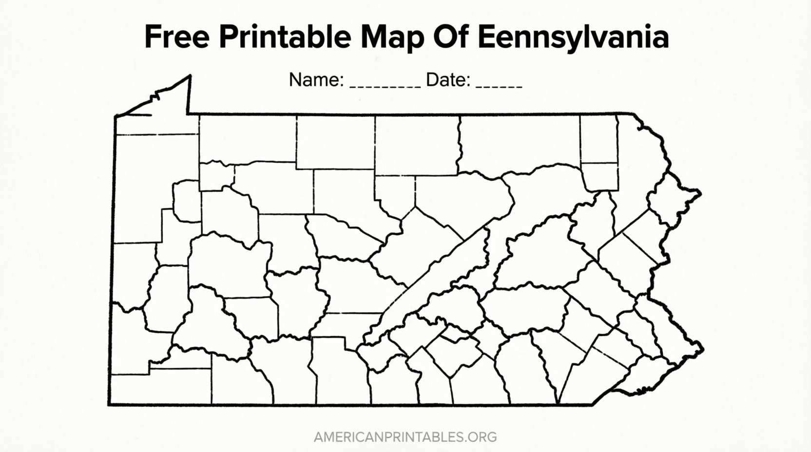
For classroom or homeschool use, public-domain blank maps based on U.S. Census Bureau boundary data work especially well.
One strong option is Simple Map Lab’s free printable Pennsylvania county map. It offers four variants (blank outline, labeled, colored, and with cities) in SVG, PNG, and PDF formats. No signup, no watermark, and released under CC0 (public domain). Download directly here:
Blank Pennsylvania County Map – Simple Map Lab.
Another reliable source for free printable blank outline and county maps is Mappr. It provides clean state outline, blank county, labeled, colored, and practice versions suitable for quizzes and worksheets:
Pennsylvania Blank Maps – Mappr.
Both sites generate print-ready files sized for U.S. Letter paper. The blank versions let students label the 67 counties themselves, while labeled versions serve as answer keys.
Free Printable Map of Pennsylvania (PDF)
How to Print Your Pennsylvania Map?
Most of these files are PDFs. Open the file in any PDF reader, choose “Fit to page” or “Scale to fit,” and print on standard 8.5 × 11-inch paper.
For best results:
- Use the PDF or SVG versions when available (they stay sharp at any size).
- Select “Actual size” or “Fit” in your printer settings to avoid distortion.
- Print in black-and-white for simple outline maps or color for labeled versions.
- For larger posters, take the vector (SVG/PDF) file to a print shop.
Always download from the official or public-domain pages linked above rather than third-party image search results, which may contain lower-quality or copyrighted files.
Tips for Using Free Printable Maps of Pennsylvania
- Students and teachers: Print a blank county map for labeling practice, then use the labeled version to check answers.
- Travelers: Combine the official PennDOT tourism map with a county outline for route planning.
- Homeschoolers: Use the maps for geography units, history timelines, or tracking places visited.
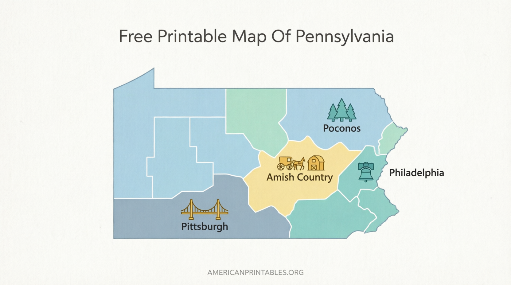
- General reference: Keep a printed county map on hand for quick lookup of regions such as the Poconos, Dutch Country, or Western Pennsylvania.
These maps support common search needs around free printable Pennsylvania state maps, blank PA maps, Pennsylvania county maps PDF, and printable PA outline maps.
Frequently Asked Questions
Are these maps truly free?
Yes. The PennDOT maps are official state resources available for free download and personal printing. The educational maps from Simple Map Lab and Mappr are free for personal and classroom use (Simple Map Lab is public domain).
Do I need to create an account?
No. The linked pages allow direct downloads without registration.
What paper size works best?
U.S. Letter (8.5 × 11 inches) is standard. Most files are designed to fit this size cleanly.
Can I use these maps commercially?
Check the individual license. PennDOT materials are for public educational and personal use. Simple Map Lab’s maps are CC0 (public domain) and may be used freely, including commercially.
Where can I find more detailed topographic maps?
For specialized needs such as hiking or detailed terrain, the U.S. Geological Survey offers free printable topographic maps through its map store and educational resources.
Download from the trusted links above and you’ll have a clear, accurate free printable map of Pennsylvania ready for school, travel, or personal projects.