Free Printable Map of Brazil PDF Download – Looking for a free printable map of Brazil? Whether you are a teacher preparing a South America unit, a homeschool parent, a student labeling states and capitals, or someone planning a trip, a high-quality blank or labeled map makes learning and planning easier. Brazil is the largest country in South America and the fifth-largest in the world by area. A clear printable outline or state map helps visualize its size, regions, major cities, and neighbors.
This resource page points you to legitimate, free sources so you can download and print reliable maps right away. All recommended options below are free for personal or educational use and come from trusted providers.
Why Use a Free Printable Map of Brazil?
A printable map of Brazil is useful for many everyday needs in the United States:
- Classroom or homeschool geography lessons on South America
- Labeling the 26 states plus the Federal District
- Coloring activities, quizzes, or memory tests
- Travel planning or journal pages
- Presentations and reports
Brazil’s distinctive shape, long Atlantic coastline, vast Amazon region, and shared borders with nearly every South American country (except Chile and Ecuador) become much clearer once you have a map in front of you. Blank versions let students fill in names themselves, while labeled versions serve as quick references.
Types of Free Printable Brazil Maps Available
Common free options include:
- Simple outline (country border only)
- Blank map with state borders (ideal for quizzes)
- Labeled political map showing states and capitals
- Regional maps of Brazil’s five main regions (North, Northeast, Southeast, South, Center-West)
- Basic reference maps that also show neighboring countries
Most free downloads are available as PDF or high-resolution image files that print cleanly on standard US Letter paper.
Trusted Places to Download a Free Printable Map of Brazil
Here are some of the most reliable sources currently offering free printable maps. Links open in a new tab and use nofollow attributes.
The official Brazilian Institute of Geography and Statistics (IBGE) provides free “mapas mudos” (blank maps) designed for education. You can download a clean national outline of Brazil as a PDF, plus individual state and regional maps.
IBGE Educa – Free Blank Maps of Brazil
Direct national blank map PDF: Brazil blank map (PDF)
Mappr offers several free, print-ready styles specifically suited for classrooms and personal use: plain outline, state-border blank map, numbered/labeled version, and practice maps. Files print well on US Letter or A4.
Mappr – Free Blank Maps of Brazil
Wikimedia Commons hosts a collection of public-domain and freely licensed blank maps of Brazil, including versions with and without state borders. These are excellent for printing or embedding in worksheets.
Wikimedia Commons – Blank Maps of Brazil
World Map Blank provides free PDF and image downloads of outline maps of Brazil in different sizes.
World Map Blank – Outline Map of Brazil
These sources prioritize accuracy and free access. Avoid random sites that require payment or personal information for basic outline maps.
Free Printable Map of Brazil PDF Download
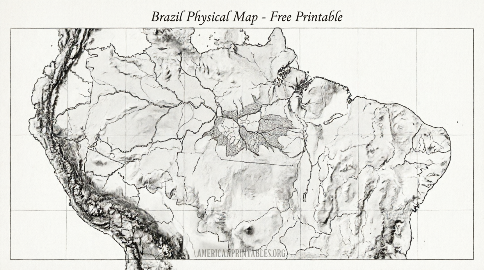
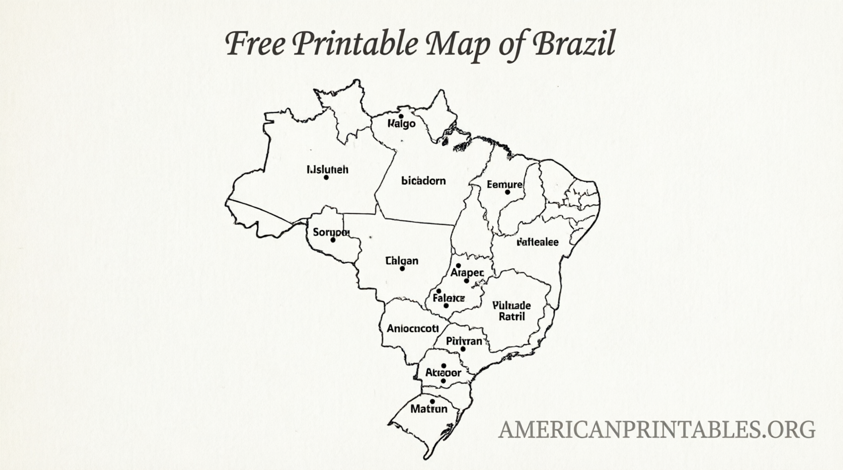
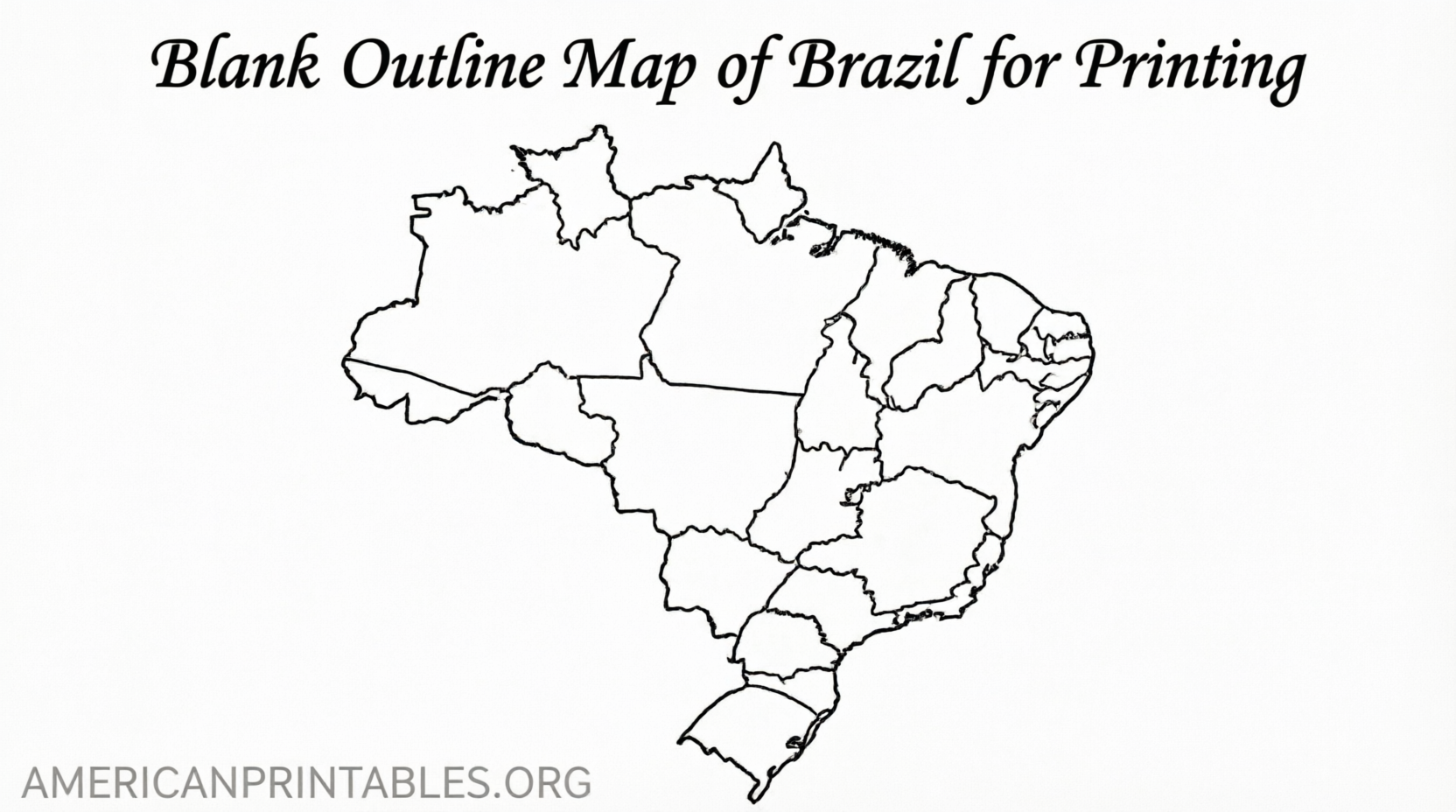
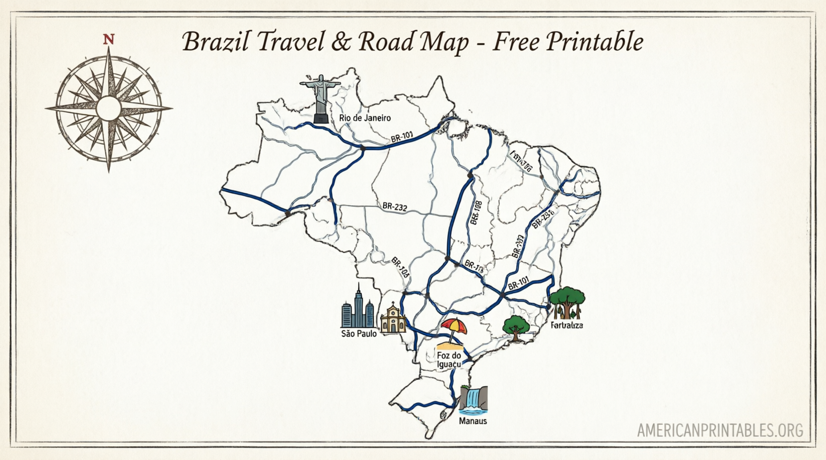
Tips for Printing and Using Your Brazil Map
- Choose PDF files when possible for the sharpest results.
- Print on standard US Letter paper; most educational maps scale well.
- For classroom sets, print multiple copies or project a digital version first.
- Pair a blank map with a labeled reference so students can check their work.
- Use colored pencils or markers for regions, the Amazon, or major cities such as Brasília, São Paulo, and Rio de Janeiro.
- Laminate frequently used maps for reuse with dry-erase markers.
Brief FAQ
Are these maps really free?
Yes. The sources listed above provide free downloads for personal and educational use. Always check the individual site’s terms if you plan commercial redistribution.
What is the best map for labeling Brazilian states?
A blank map that shows internal state borders (available from IBGE and Mappr) works best for quizzes and practice.
Can I use these maps for school projects?
Yes. Official IBGE maps and the free educational resources above are intended for learning activities.
Does Brazil have regions as well as states?
Yes. Brazil is commonly divided into five geographic regions in addition to its 26 states and Federal District. Some free map collections include both.
A free printable map of Brazil is a simple but powerful tool for understanding the country’s geography. Download one from a trusted source, print it, and start labeling or coloring. Your students (or your own travel plans) will thank you.