Free Printable Map of Wales – Easy Downloads – Looking for a free printable map of Wales? Whether you are a teacher preparing a geography lesson, a homeschool parent, a student studying the United Kingdom, or a traveler planning a trip from the United States, a clear map of Wales is a practical resource.
Wales is a country in the United Kingdom located on the western side of Great Britain. It has its own language (Welsh), distinct culture, national parks, coastline, and cities such as Cardiff (the capital), Swansea, and Newport. A printable map helps you label key features, understand regional divisions, or simply keep a visual reference on hand.
Below you will find legitimate, currently available free resources for downloading or printing maps of Wales. All links open in a new tab and use rel=”nofollow”.
Official Printable Map from Visit Wales
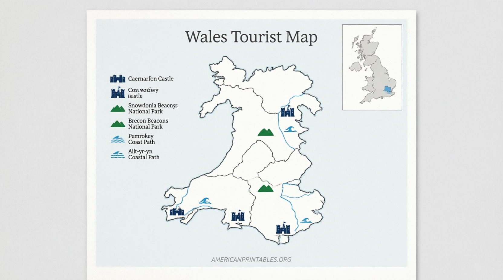
One of the most reliable free options comes from official Welsh tourism sources. Travel Trade Wales offers a printable Wales map designed for planning and reference.
You can download the Travel Trade – Printable Wales Map (PDF) directly from their brochure and map page:
Download the official printable Wales map.
This map is useful for travelers and educators who want an accurate overview of the country.
Free Outline Map for Classroom and Homeschool Use
For blank or outline maps ideal for labeling activities, Kuraplan provides a free Wales map outline. It is released under a Creative Commons BY-NC 4.0 license (attribution required; non-commercial use).
Download the PNG and print it for students:
Free Wales map outline printable.
Teachers and parents in the USA often use these for lessons on European geography, the United Kingdom, or cultural studies related to St. David’s Day.
Detailed Free Maps for Reference and Printing
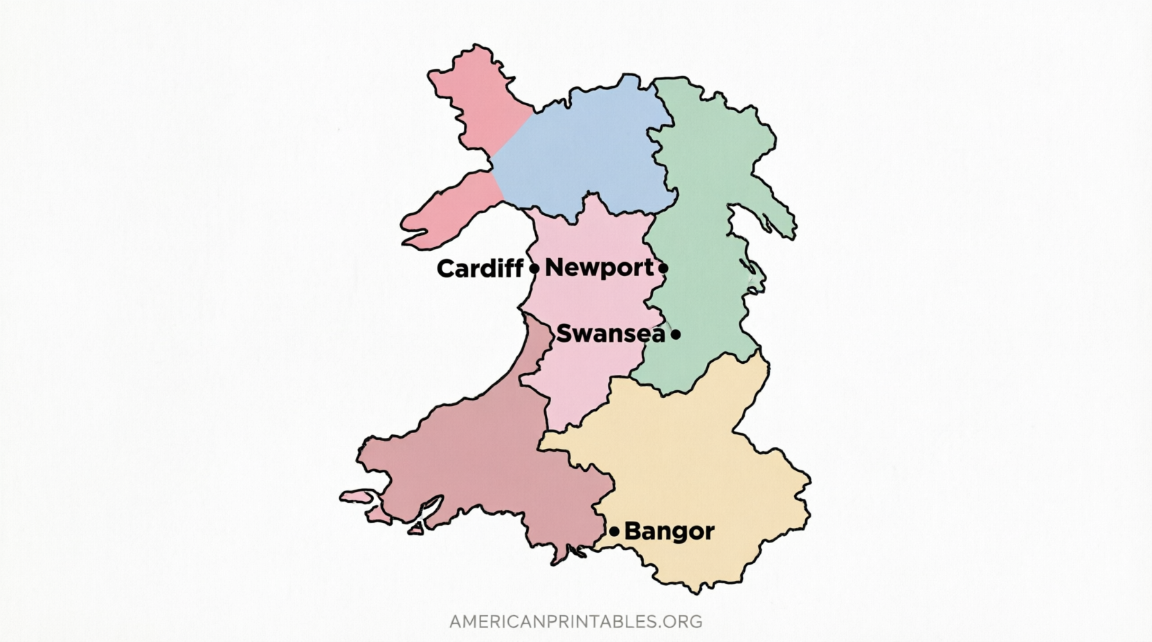
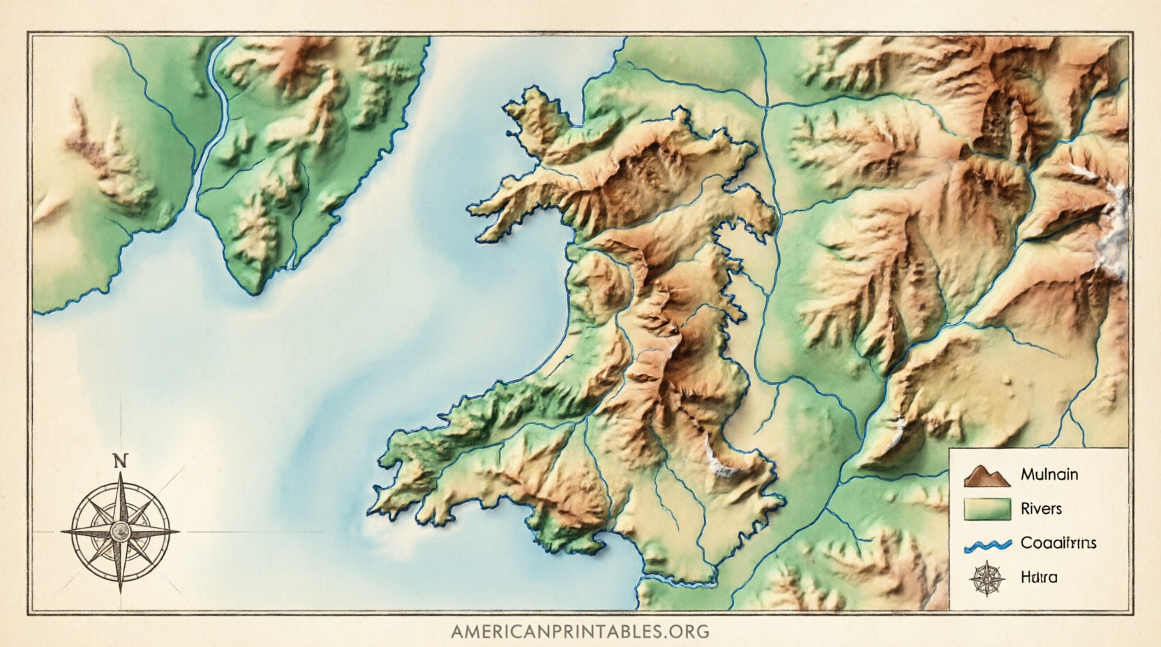
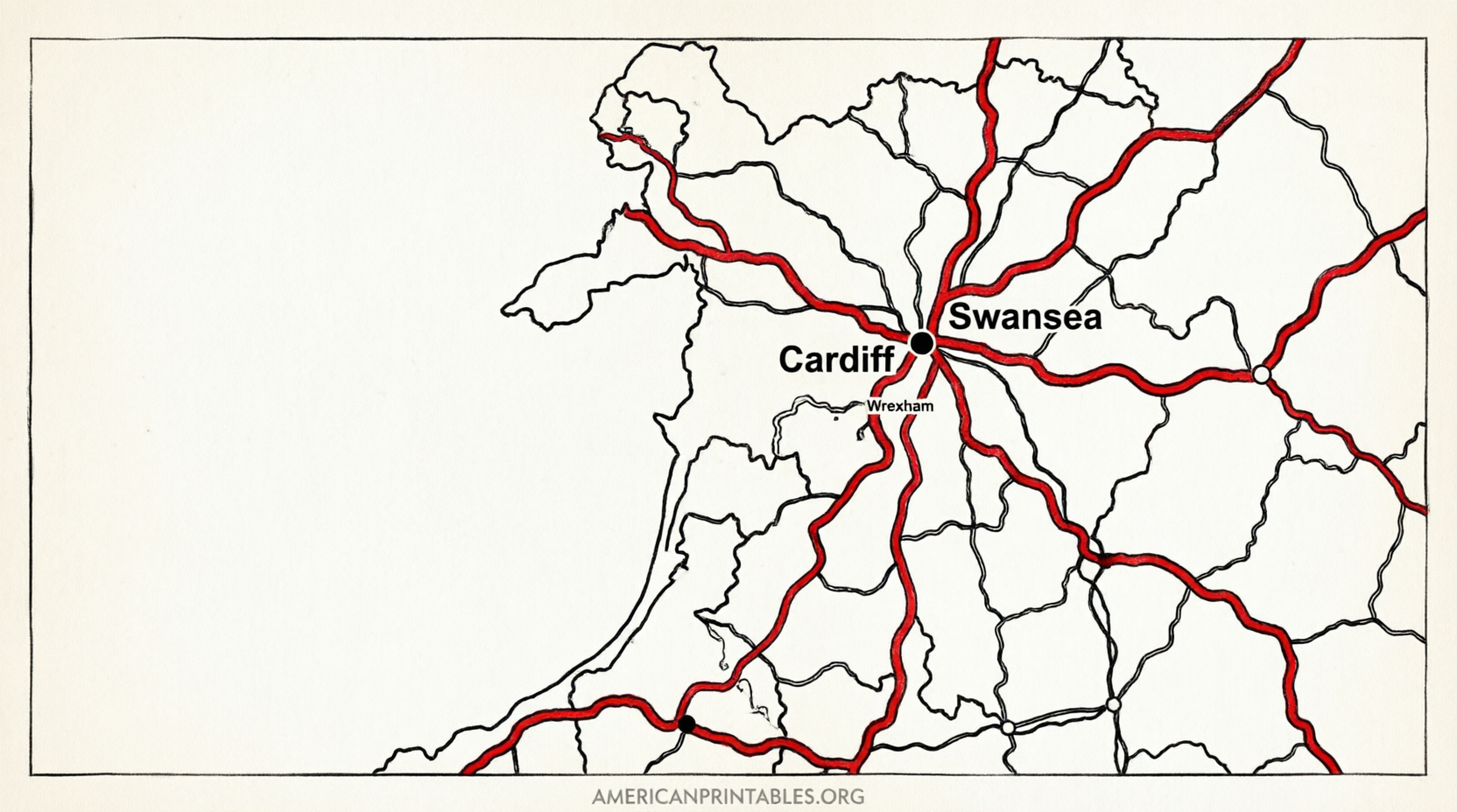
Ontheworldmap.com offers several free maps of Wales that can be viewed at full size and printed for personal or educational (non-commercial) use with proper attribution. Options include a detailed map, road map, administrative divisions map, and regional maps of North and South Wales.
Browse and download here:
Free detailed maps of Wales.
These work well when you need more place names, roads, or regional context.
Editable Vector Map Options
If you need a scalable, editable map (useful for presentations or custom worksheets), Free Vector Maps provides a printable vector map of Wales available in formats such as PDF, PNG, JPG, AI, and EPS. Free download is offered with attribution; a paid no-attribution option is also available.
Access it here:
Printable vector map of Wales.
Free Printable Map of Wales – Easy Downloads
Additional Tips for Using a Free Printable Map of Wales
- Classroom or homeschool activities: Print blank outline versions and have students label major cities, national parks (such as Snowdonia/Eryri and Pembrokeshire Coast), rivers, or the border with England.
- Travel planning from the USA: Use a detailed or road map to note ferry routes, major highways, or scenic drives before your trip.
- Printing advice: Choose “fit to page” or actual size depending on the map. Black-and-white outlines save ink; color versions work well for display.
- Accuracy note: Official and established educational sites are preferable to random image searches, which may contain outdated or low-resolution maps.
Brief FAQ
Is a free printable map of Wales legal to use?
Yes, when you download from the sources listed above and follow their license terms (attribution where required, non-commercial use for some).
What size should I print?
Letter (8.5 x 11 inches) works for most classroom and personal use. Larger formats are possible if the file is high-resolution.
Are there blank maps specifically for labeling?
Yes—the Kuraplan outline and certain Ontheworldmap versions are well suited for this.
Can I use these maps in a school project or presentation?
Generally yes for educational purposes, provided you follow the attribution and non-commercial rules of each source.
A free printable map of Wales is easy to obtain from trusted sources. Start with the official Visit Wales printable map or the classroom-friendly outline, then explore the detailed and vector options as needed. These resources help American users learn about, teach, or plan visits to this distinctive part of the United Kingdom.