Free Printable Oahu Tourist Map (USA Guide) – Looking for a printable Oahu tourist map to plan your Hawaii trip from the mainland? A good paper map remains one of the most useful tools for U.S. travelers exploring the island. It works offline, helps you see the big picture of distances and regions, and lets you mark routes or attractions without relying on phone signal or battery life.
Oahu (often called “The Gathering Place”) packs beaches, historic sites, mountains, and cities into roughly 600 square miles. Most visitors base themselves in Waikiki or Honolulu and day-trip to the North Shore, Windward Coast, or Pearl Harbor. A clear tourist or driving map makes those plans far easier.
Why Get a Printable Oahu Tourist Map?
Phone GPS is convenient, but a printed map helps you:
- Visualize the island’s layout at a glance (two mountain ranges, dry west side vs. greener east side).
- Note approximate driving times between major spots.
- Mark beaches, hiking trailheads, or must-see stops.
- Share plans with travel companions or keep a backup in the car or hotel room.
Many legitimate free options exist from official tourism sources and established travel publishers. Avoid random image sites that may offer outdated or low-quality files.
Best Free Printable Oahu Maps from Trusted Sources
Here are current, useful places to get legitimate free printable or downloadable maps (links open in a new tab and use rel=”nofollow”):
- Official Go Hawaii (Hawaiʻi Visitors and Convention Bureau)
The official tourism site offers a free PDF driving map of Oʻahu plus an image version. It shows major roads, towns, and key points with sample drive times from Waikiki.
→ Maps page: gohawaii.com/islands/oahu/travel-info/maps
→ Direct PDF: oahu_drive_map.pdf - Moon Travel Guides – Free Printable Regional Maps
Moon provides free printable travel maps of Oʻahu divided into regions (Honolulu, Waikiki, Windward, North Shore, etc.). These come from their guidebooks and are practical for sightseeing orientation.
→ moontravelguides.com/maps/us/hawaii/oahu/ - Hawaii-Guide.com – Free Printable Road, Beach & Attraction Maps
This long-running independent site offers several free high-quality maps you can view full-size or download/print, including road maps with driving times, beaches, neighborhoods, and snorkel spots. (They also sell a higher-resolution packet if you want more detail.)
→ hawaii-guide.com/oahu/oahu-maps
These sources are among the most authoritative and useful for U.S. travelers. Stick to official or established travel publishers for accuracy and legality.
Free Printable Oahu Tourist Map (USA Guide)
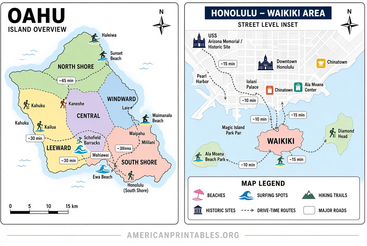
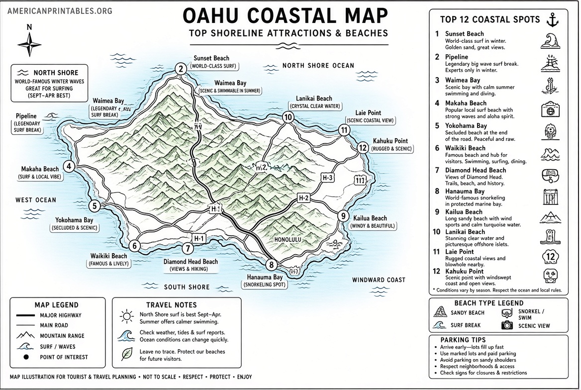
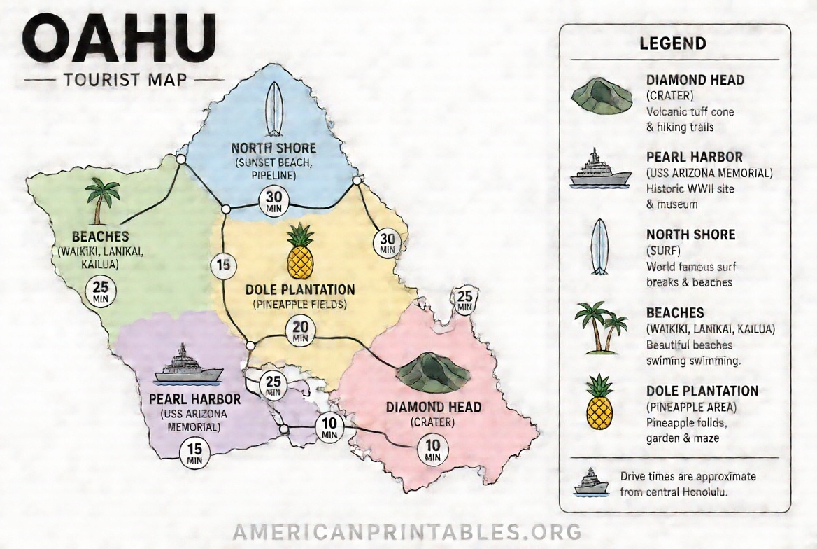
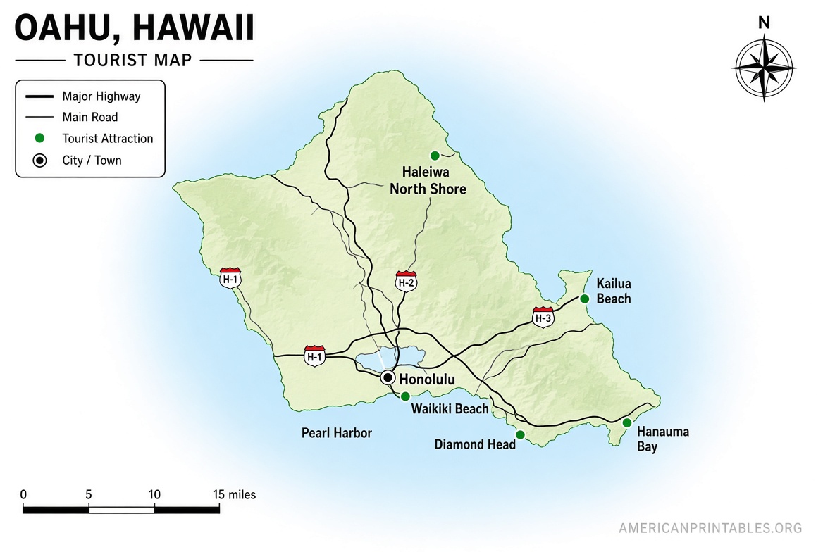
How to Use Your Printable Oahu Tourist Map Effectively?
- Print at home on letter-size paper (or take the PDF to a local print shop for larger format if desired). Color printing helps distinguish roads, water, and parks.
- Mark your base (usually Waikiki) and priority stops: Pearl Harbor, Diamond Head, Hanauma Bay, North Shore beaches, Kailua/Lanikai, etc.
- Note typical non-rush-hour drive times (e.g., Waikiki to North Shore often 45–60 minutes; traffic on H-1 can add significant time during peak hours).
- Pair the map with a simple itinerary: one day for Honolulu/Waikiki highlights, another for Windward Coast, another for North Shore.
- Keep a digital backup on your phone, but rely on the paper version when signal is weak or you want to conserve battery.
Quick Tips for U.S. Visitors Planning Around the Map
Oahu is compact enough for day trips but traffic and parking can be issues near popular beaches and lookouts. A map helps you group nearby attractions and avoid backtracking. Renting a car is the most flexible option for covering the island, though public buses (TheBus), rideshares, and the Waikiki Trolley work well for the urban south shore.
Always check current conditions (road closures, beach advisories, or weather) before heading out, especially on the North Shore in winter when large surf can affect access.
Frequently Asked Questions
Is there an official free printable Oahu tourist map?
Yes. The official Go Hawaii site provides a free PDF driving map of Oʻahu and an image version on its maps page.
Are the free maps from Moon and Hawaii-Guide accurate for tourists?
They are widely used and updated by established travel publishers. The official Go Hawaii map is the most authoritative baseline; the others add useful regional and thematic detail.
Can I print these maps at home or at a store?
Yes. Most are standard PDF or image files suitable for home printers or print shops. Use letter or larger paper and color if possible for clarity.
Should I still use a digital map or app?
Absolutely. Use both: the printable version for overview and offline reference, and Google Maps or a similar app for real-time navigation and traffic.
A quality printable Oahu tourist map takes only a few minutes to download and print yet can save time and reduce stress once you arrive. Start with the official Go Hawaii driving map, supplement with Moon’s regional sheets or Hawaii-Guide’s free options if you want extra detail, then mark your must-sees. Safe travels and enjoy the island.