Free Printable NYC Walking Map | Official Guides – Exploring New York City on foot is one of the best ways to experience its neighborhoods, parks, landmarks, and street energy. A free printable walking map of New York City helps you plan routes offline, mark key spots, and navigate without relying solely on your phone battery.
This resource page points you to legitimate, currently available free printable maps and official guides suited for walking tours. All recommended links lead to real free downloads or official pages—no invented resources.
Why Use a Printable Walking Map in NYC?
New York’s grid is relatively straightforward in Midtown and Uptown Manhattan, but Downtown streets, parks, and outer boroughs can be less intuitive. A printed map lets you:
- See the big picture of distances and walk times
- Highlight self-guided routes without data usage
- Share copies with your group
- Note free museum days, greenways, or subway connections
Official city maps often include pedestrian-friendly details such as walk times, greenways, parks, and transit.
Official Free Printable NYC Map (Best Starting Point)
The most authoritative free option is the Official Map of New York City produced for NYC Tourism. The current September 2025 version is a detailed, multi-page PDF that covers all five boroughs. It highlights major attractions, parks, the Manhattan Waterfront Greenway, and includes a helpful note that one grid square represents approximately a 25-minute walk—ideal for planning walking routes.
Download the free Official Map of New York City PDF here:
Official NYC Map (September 2025 PDF)
Print on letter-size paper or larger for readability. The reverse side often includes neighborhood insets useful for walking in denser areas.
You can also check the official maps and guides section on the NYC Tourism site for any updates or additional free materials:
NYC Tourism Maps & Guides
Free Printable Tourist Attraction and Neighborhood Maps
For focused walking itineraries around major sights, free high-resolution printable maps are available from MapaPlan. These cover Manhattan streets and avenues with top attractions, Central Park highlights, Midtown and Downtown points of interest, and other themed views. Click any map image on the page to open and print the full-resolution version.
Browse and print free NYC top tourist attractions maps here:
MapaPlan Free NYC Tourist Maps
Free Lower Manhattan Walking Map and Self-Guided Tour
Lower Manhattan (Financial District, Wall Street, Battery Park, World Trade Center area) is highly walkable and rich in history. Free Tours by Foot offers interactive maps plus a free downloadable and printable PDF version of their Lower Manhattan self-guided tour map. It highlights major landmarks and is designed for offline use.
Get the free Lower Manhattan printable map and self-guided tour details here:
Free Tours by Foot – Lower Manhattan Maps
City Wayfinding System for Pedestrians
New York City’s official WalkNYC system provides consistent pedestrian maps and signs throughout the city. These maps show street names, walk times, parks, landmarks, subway stops, and neighborhood amenities. While the physical signs are installed citywide, the design principles and related information are explained on the official DOT page. Use this as a reference when interpreting street-level maps or planning routes that connect to transit.
Learn about WalkNYC here:
NYC DOT – WalkNYC
Free Printable NYC Walking Map | Official Guides
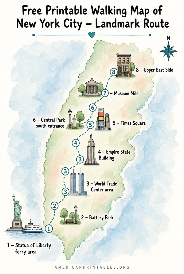
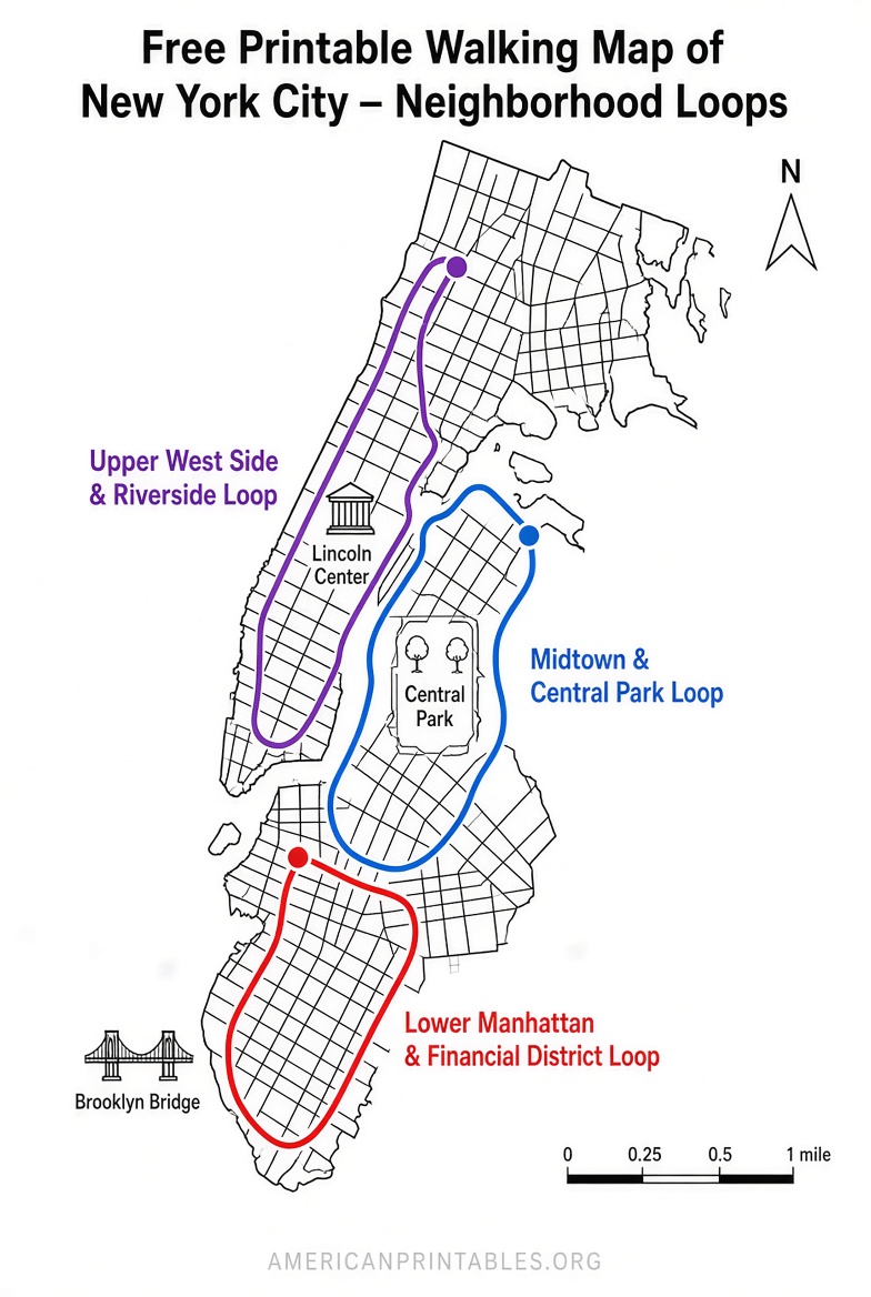
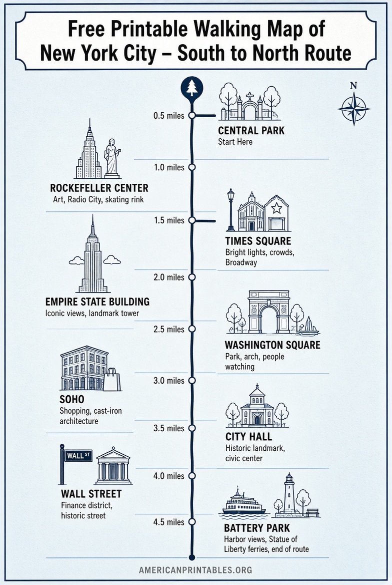
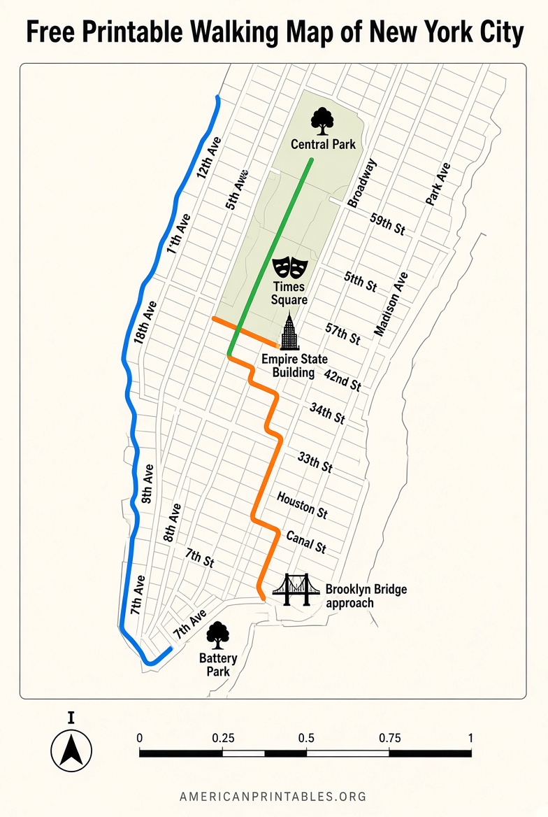
Practical Tips for Using Your Printable Walking Map
- Print in color if possible for clearer landmarks and parks.
- Fold maps by neighborhood so you only carry what you need that day.
- Pair the map with a free MTA subway map (available at stations or online) for mixed walking + transit days.
- Check walk times against your fitness level—Manhattan blocks north-south are shorter than east-west avenues.
- Note free or pay-what-you-wish museum days and open green spaces on your printed copy.
- For longer routes, look for the Manhattan Waterfront Greenway and other continuous pedestrian paths marked on official maps.
Brief FAQ
Are these maps really free to print?
Yes. The Official NYC Map PDF, MapaPlan tourist maps, and Free Tours by Foot Lower Manhattan materials are offered as free downloads or printable pages. Always download from the linked official or provider pages.
Do the maps cover all five boroughs?
The Official NYC Map does. Many tourist-focused printables concentrate on Manhattan; use the official map or neighborhood-specific resources for Brooklyn, Queens, the Bronx, and Staten Island.
Can I use these for self-guided walking tours?
Absolutely. The Lower Manhattan PDF is specifically designed for self-guided use, and the Official Map plus attraction maps support custom routes around Central Park, Midtown, Downtown, and beyond.
Is there a single perfect free printable walking map?
No single sheet covers every detail at high resolution. Start with the Official NYC Map for overview and walk times, then add neighborhood or attraction printables for specific days.
Print one or more of these free resources before your trip, mark your must-see stops, and enjoy discovering New York City at a walker’s pace. Safe travels.