Free 13 Colonies Blank Map Printable – Looking for a free 13 Colonies blank map printable? These simple outline maps help students, teachers, parents, and homeschoolers learn the geography of Colonial America. A blank map of the original Thirteen Colonies lets learners label each colony, color the three regions (New England, Middle, and Southern), and build map skills without distractions.
This resource page explains what the 13 Colonies were, why blank maps work well for learning, and where to download legitimate free printables right away.
What Were the 13 Colonies?
The 13 Colonies were the British settlements along the Atlantic coast of North America that declared independence in 1776 and formed the United States. They stretched from New Hampshire in the north to Georgia in the south.
The colonies are often grouped into three regions:
- New England Colonies: New Hampshire, Massachusetts, Rhode Island, Connecticut
- Middle Colonies: New York, New Jersey, Pennsylvania, Delaware
- Southern Colonies: Maryland, Virginia, North Carolina, South Carolina, Georgia
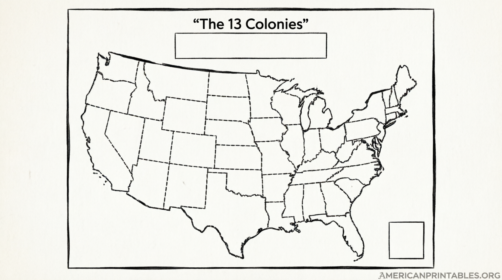
A blank 13 Colonies map printable focuses on the outlines so students can practice placing the names correctly.
Why Use a Blank 13 Colonies Map Printable?
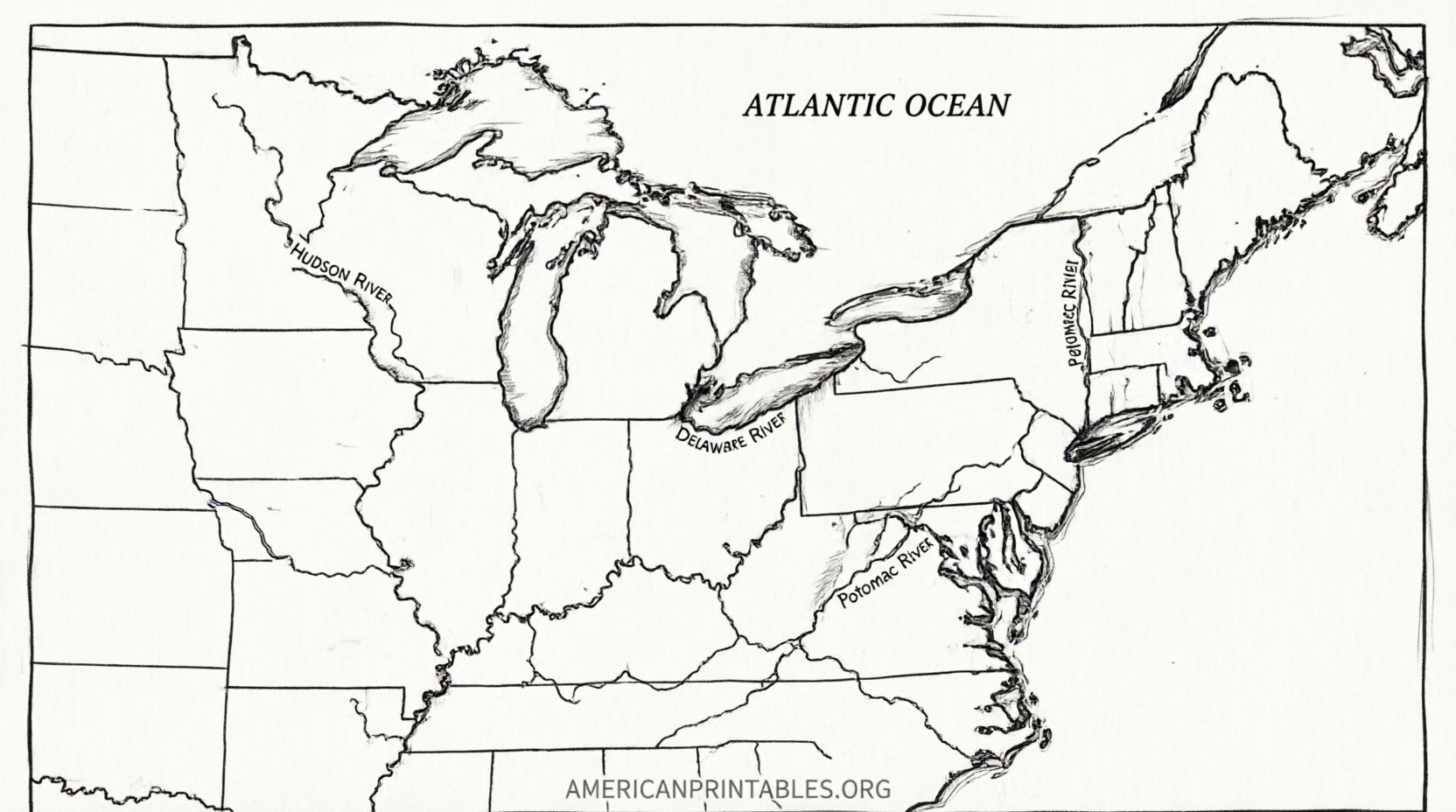
Blank maps turn passive reading into active learning. Students write the colony names, add a compass rose, create a color key for the regions, and sometimes label the Atlantic Ocean or major rivers. Teachers use them for quizzes, interactive notebooks, or review before tests on Colonial America or the American Revolution.
Parents and homeschoolers appreciate that free printables need no special software—just download, print, and start labeling.
Where to Get Free 13 Colonies Blank Map Printables?
Here are trusted sources that offer free, downloadable blank maps of the 13 Colonies for educational and personal use. Always check the terms of use on each site.
One excellent option comes from Seterra (part of Geoguessr), a well-known educational geography platform. Their free blank printable 13 Colonies map is available as a direct PDF download:
Seterra Blank 13 Colonies Map PDF
They also provide a matching labeled version for reference or answer keys:
Seterra Labeled 13 Colonies Map PDF
Another helpful free resource is Tim van de Vall’s educational printables site, which offers both labeled and blank 13 Colonies map PDFs for personal and classroom use:
Tim van de Vall 13 Colonies Maps
For a full free worksheet bundle that includes a blank map plus supporting activities, We Are Teachers provides downloadable materials after a simple form submission:
We Are Teachers 13 Original Colonies Map Bundle
These sources keep the total external links limited while pointing to current, legitimate free printables. Avoid random image sites that may not allow free classroom use.
Free 13 Colonies Blank Map Printable
How to Use a 13 Colonies Blank Map?
- Print the blank map on standard letter paper.
- Have students label each of the 13 colonies.
- Color the New England, Middle, and Southern regions in different colors and add a map key.
- Optional: Add the Atlantic Ocean, a compass rose, or neighboring Native American tribal areas for extra context.
- Compare the finished map with a modern U.S. map to see how the original colonies relate to today’s states.
Many free versions also include numbered or word-bank versions for younger students or quizzes.
Quick List of the 13 Colonies (Founding Order)
Virginia (1607)
Maryland (1632)
Connecticut (1636)
Rhode Island (1636)
New Hampshire (1680)
New York (1664)
New Jersey (1664)
Delaware (1664)
Pennsylvania (1681)
Massachusetts (1692, as Massachusetts Bay)
North Carolina (1712)
South Carolina (1712)
Georgia (1732)
FAQ
Are these 13 Colonies blank maps free to print for classroom use?
Yes. The linked Seterra PDFs and Tim van de Vall resources are offered free for personal and educational purposes. Always review the individual site’s terms.
What grade levels work best with a blank 13 Colonies map?
These maps suit grades 3–8, though high school U.S. history classes also use them for quick review.
Can I find color and black-and-white versions?
Yes. Many free printables include both full-color and black-and-white options so students can color the regions themselves.
Is there an answer key available?
Seterra provides a labeled map that serves as a ready answer key. Other free bundles often include answer sheets as well.
A free 13 Colonies blank map printable is one of the simplest and most effective tools for teaching early American geography. Download one of the trusted options above, print a few copies, and start labeling. Students will gain a clearer picture of how the original colonies shaped the United States we know today.