Free A4 World Map Printable Downloads – Looking for a free A4 size map of the world printable? These ready-to-print files work well for classrooms, homeschooling, travel planning, or home reference. A4 paper measures 210 × 297 mm (about 8.3 × 11.7 inches). Many free maps also fit US Letter paper (8.5 × 11 inches) with simple “fit to page” settings, making them practical for most American home and school printers.
This page highlights legitimate free sources for blank outline maps, political maps, and labeled versions so you can download and print without sign-ups or fees in most cases.
Why Choose an A4 World Map Printable?
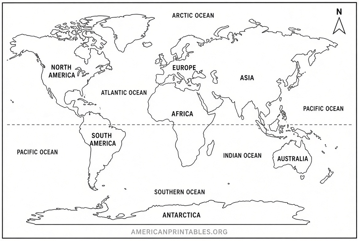
An A4 world map printable offers a convenient single-page format. Students can label countries, continents, or oceans. Teachers create quizzes or worksheets. Travelers mark visited places. Parents use them for coloring or geography games.
Common styles include:
- Blank or outline maps (no labels) for practice and coloring
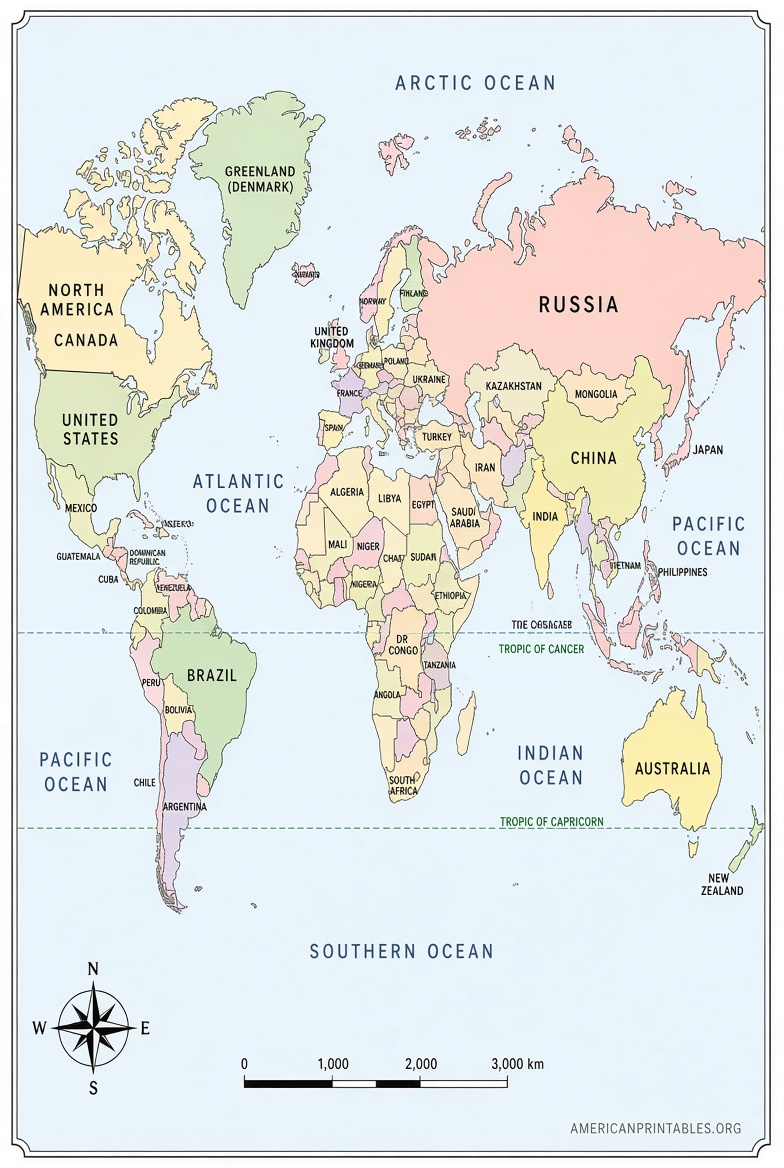
- Political maps showing country borders
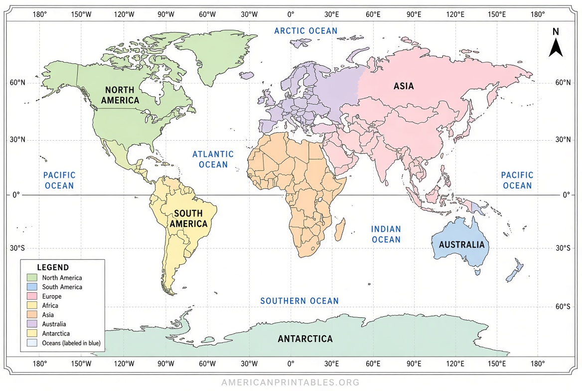
- Labeled maps with country names or latitude/longitude lines
- Physical maps highlighting terrain
Most free files come as high-resolution PDFs or JPEGs optimized for clean printing on home inkjet or laser printers.
Trusted Places to Download Free A4 World Maps
Here are reliable sources that provide free, printable A4-sized world maps. Always check the license on each site for personal, educational, or commercial use.
Blank and Outline World Maps
A strong option for free blank world maps in A4 PDF and JPEG is World Map Blank. Their files show country borders without names, print cleanly at A4 (and scale to US Letter), and require no account. Multiple outline and border versions are available for labeling exercises or travel tracking.
Another solid choice is Ultimaps, which offers free blank, outline, and labeled world maps in PDF (A4 and US Letter), PNG, and SVG. These work well for printing, editing, or presentations and allow personal and commercial use with attribution.
Political and Projection Maps
For free PDF world maps in A4 size across different projections (Miller, Robinson, and others), visit Free World Maps PDF section. Options include political maps with country borders, physical maps, and America-centered views. Files are ready for direct download and printing.
Modern Equal-Area Maps
A high-quality labeled Equal Earth projection map is available as a free A4 landscape PDF (plus US Letter) from Equal Earth Lab. It includes country outlines, selected place names, and a latitude-longitude grid. Boundaries come from public-domain Natural Earth data.
These four sources keep the total under the practical limit while covering the most useful free A4 options. Avoid random image searches that may lead to low-quality, outdated, or watermarked files.
Free A4 World Map Printable Downloads
How to Print Your Free A4 World Map?
- Download the PDF or high-resolution image.
- Open it in a free reader such as Adobe Acrobat or your browser.
- Select A4 paper size (or US Letter and choose “Fit” or “Shrink to printable area”).
- Use portrait or landscape orientation as needed—most world maps look best in landscape.
- Print at actual size or 100% for sharpest lines. Black-and-white outlines use less ink.
For classroom sets, print one master and photocopy. Color versions work well on photo paper for display.
Practical Uses for a Printable World Map
- Education — Label continents, oceans, or capitals; create map quizzes.
- Homeschooling — Combine with worksheets for geography units.
- Travel planning — Mark routes or places already visited.
- Kids’ activities — Color countries or add stickers.
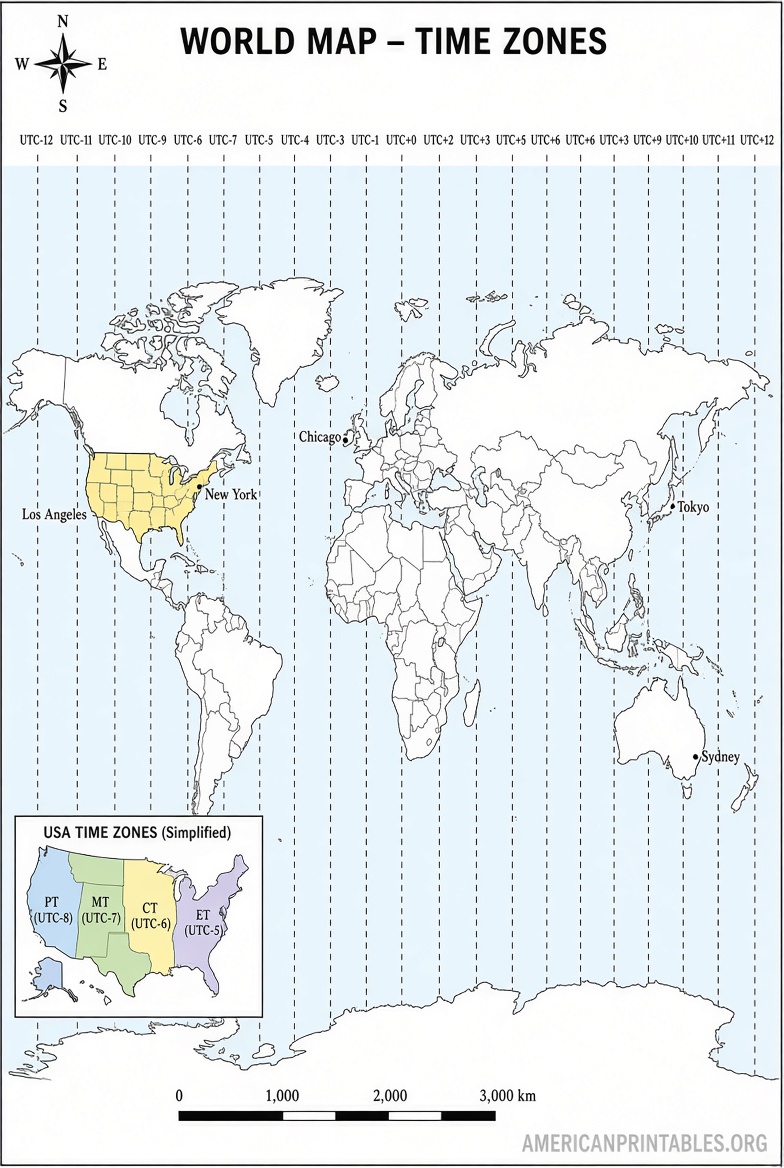
- Reference — Keep a desk copy for quick checks of locations and time zones.
Update your maps periodically, as country borders or names can change.
FAQ
Is an A4 world map the same as US Letter?
No. A4 is slightly narrower and taller. Most free PDFs sized for A4 still print cleanly on US Letter with “fit to page.”
Are these maps really free?
Yes—the linked sources provide free downloads with no required payment or email for the basic files. Always review each site’s terms.
Can I use them in school or commercially?
Educational and personal use is generally allowed. Commercial use varies; check the license on the download page (some require attribution).
What if I need a larger map?
Many of the same files scale up to A3 or poster size while keeping line quality.
Download a free A4 size map of the world printable today from the trusted links above and start labeling, coloring, or planning right away.