Free Large Printable World Map – PDF Downloads – Looking for a free large printable world map? Whether you need one for a classroom wall, home office, travel planning, or kids’ geography projects, high-quality options are available at no cost. These maps work well on standard US Letter paper and can be tiled or taken to a print shop for bigger sizes.
This guide covers the best legitimate sources for free large printable world maps suited to a USA audience. All recommended downloads are free, require no payment for the basic versions, and come from established sites.
Why Use a Free Large Printable World Map?
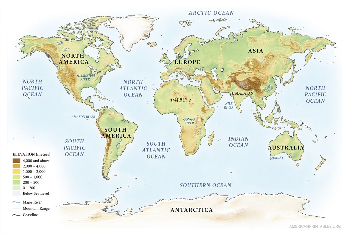
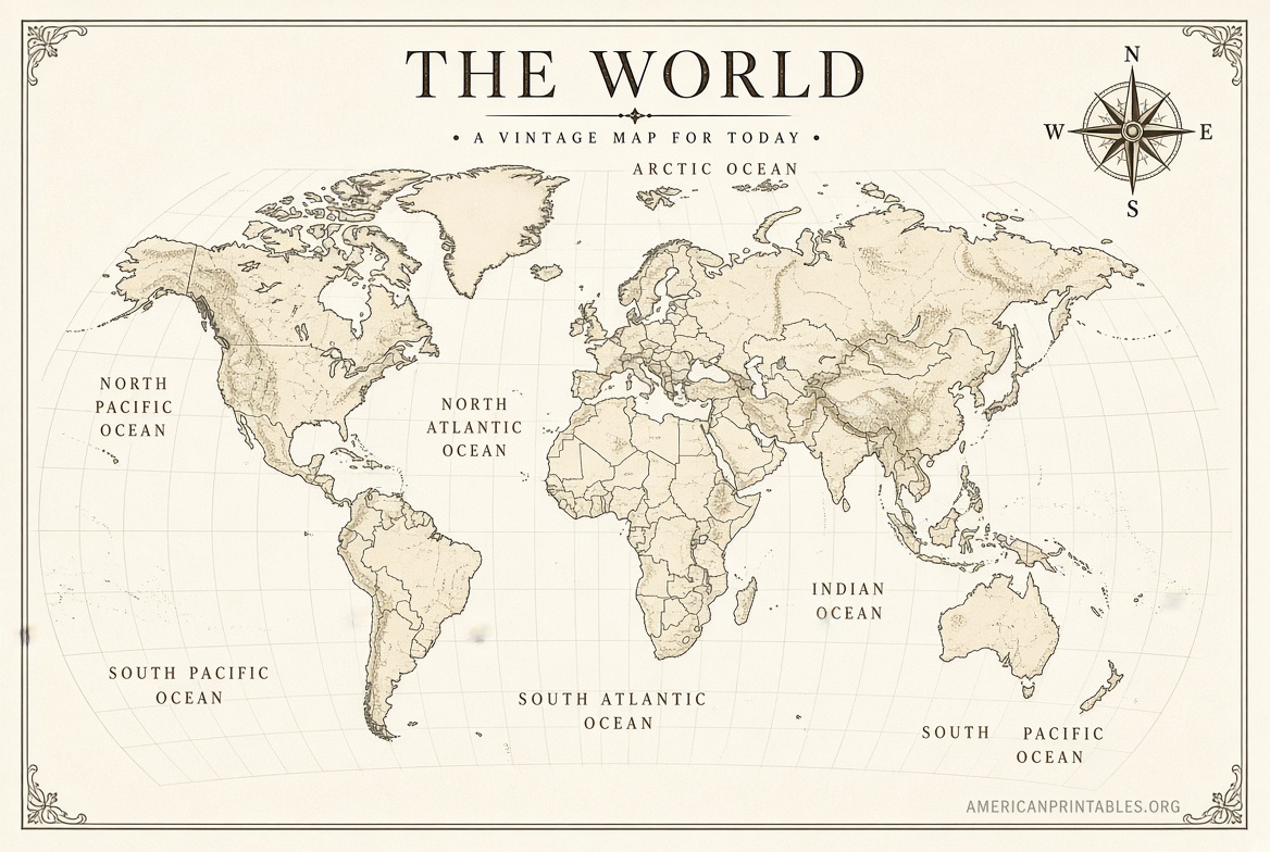
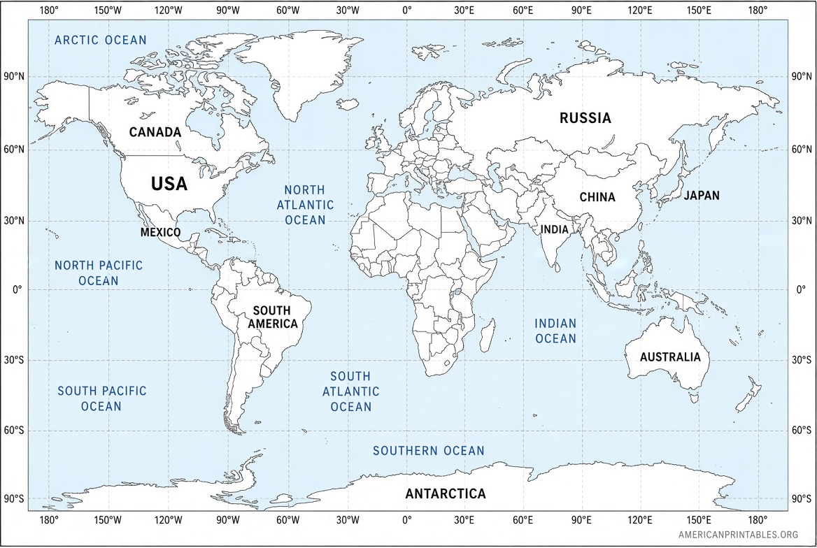
A large printable world map helps visualize continents, countries, oceans, and distances at a glance. Teachers use them for lessons, parents for educational activities, and travelers for trip planning. Printing at home or assembling multiple pages creates a wall-sized reference without buying a commercial poster.
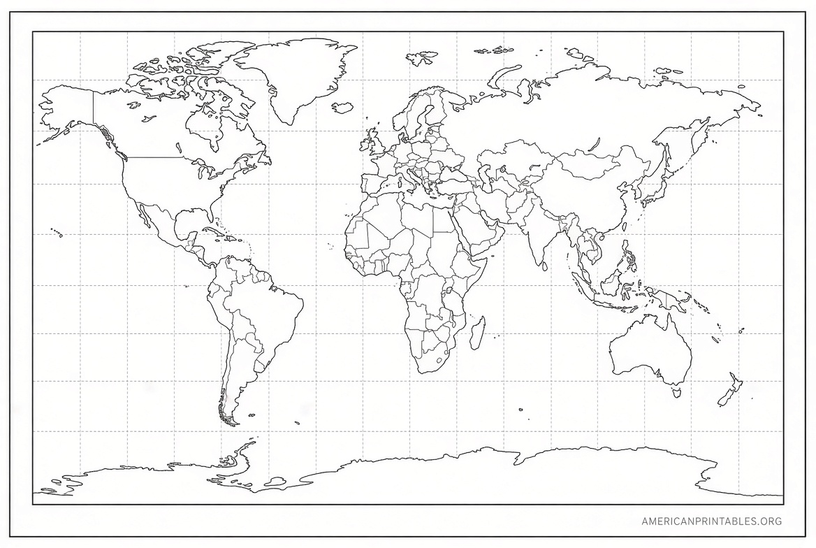
Look for maps in PDF format. They scale cleanly, support US Letter (8.5 x 11 inches) paper, and often include labeled political versions, blank outlines, physical features, or coloring options.
Best Places to Download Free Large Printable World Maps
Here are trusted, current sources offering free downloads. Focus on official or long-running educational sites to avoid low-quality or misleading files.
National Geographic Free Coloring World Map (Assembles to Large Size)
National Geographic offers a free printable world map designed for coloring and learning. Download the multi-page PDF, print the panels, trim the edges, and tape them together to create a single 36 x 24 inch map. It includes country outlines and flags for an engaging activity.
This is ideal if you want a genuinely large finished product from free pages.
Download the National Geographic free world coloring map PDF
PrintableWorldMap.net – Free Individual World Maps
This long-running site provides hundreds of free printable maps in PDF format, including labeled world maps, blank outline versions, and fill-in-the-blank options. Each map downloads individually at no cost. Use landscape or portrait orientations and print on standard paper. Larger wall displays can be created by printing multiple copies or enlarging at a print shop.
The free versions are straightforward PDFs with no account required.
Browse free printable world maps at PrintableWorldMap.net
FreeWorldMaps.net – PDF World Maps in Multiple Projections
FreeWorldMaps.net offers free PDF world maps in political, physical, and various projections (Robinson, Miller, and others). Files are sized for A4 or similar, which works well with US Letter settings using “fit to page.” High-resolution options support larger prints.
Maps are free for personal and limited commercial use when attribution is given.
Download free PDF world maps from FreeWorldMaps.net
Mapswire – Creative Commons Free World Maps
Mapswire provides high-quality free world maps under a Creative Commons Attribution license. Download physical, political, and other styles in large image formats suitable for printing. The files scale well for posters or classroom walls.
Attribution is required for reuse, but personal printing and educational use are straightforward.
Get free Creative Commons world maps from Mapswire
Free Large Printable World Map – PDF Downloads
Tips for Printing a Large World Map at Home
- Choose PDF files whenever possible for the sharpest results.
- Select “Actual size” or “Fit to page” in your printer settings and use landscape orientation for most world maps.
- For a bigger display, print multiple pages and carefully align edges before taping or gluing on the back.
- Use heavier paper (24 lb or cardstock) or laminate the finished map for durability.
- Test print one page first to check colors and margins.
- Local office supply or print shops can enlarge a high-resolution PDF into a true wall poster if home printing is not large enough.
Blank or outline maps work especially well for labeling practice or custom notes.
Frequently Asked Questions
Are these maps really free?
Yes. The linked sources offer free PDF or image downloads of world maps with no payment required for the basic versions. Some sites sell optional collections or higher-resolution files, but the free options meet most needs.
What size can I print?
Most files are optimized for US Letter paper. Assembling multiple pages (as with the National Geographic map) or taking a high-resolution file to a print shop produces larger results.
Can I use these maps for school or commercial projects?
Personal and educational use is generally fine. Check each site’s terms—Mapswire requires attribution under Creative Commons, and FreeWorldMaps.net has specific limits for commercial publications.
Do the maps show current country borders?
Reputable sources update maps periodically, but always verify recent geopolitical changes against a current reference if precision is critical.
A free large printable world map is easy to obtain from these reliable sites. Download one today, print it at home or assemble a larger version, and keep a clear view of the world on your wall or desk.