Free Printable Canada Map with Provinces & Capitals – Looking for a free printable map of Canada that clearly shows all provinces, territories, and their capitals? Whether you’re a U.S. teacher planning a North America unit, a homeschool parent, a student studying geography, or simply curious about our northern neighbor, a clean labeled map makes learning easy and practical.
Canada has 10 provinces and 3 territories. Ottawa serves as the national capital (located in Ontario). A good printable map helps you see the full picture at a glance—borders, relative sizes, and capital cities—without needing to pay or create an account.
Why a Printable Canada Map Is Useful for Americans?
U.S. classrooms and families often study Canada alongside the United States because the two countries share the world’s longest international border and close economic and cultural ties. A free printable map of Canada with provinces and capitals supports:
- Geography lessons and quizzes
- Homeschool units on North America
- Travel planning or road-trip preparation
- Quick reference for news or current events
Black-and-white outline versions work well for coloring or labeling activities, while labeled political maps serve as ready reference sheets.
Official and Trusted Free Printable Maps
Here are reliable, current sources that offer free downloads suitable for personal, classroom, or educational use. Always check the site’s terms for any attribution or usage notes.
Natural Resources Canada (the official federal mapping agency) provides high-quality reference maps. Their political division map of Canada shows provincial and territorial boundaries, capitals, selected place names, lakes, rivers, and the Arctic Circle. Download the free PDF or JPG directly from the Atlas of Canada reference maps page.
Super Teacher Worksheets offers a free political map labeled with provinces, territories, and capitals (plus blank and numbered versions ideal for quizzes). These are designed for grades 2–6 and print cleanly on standard letter paper.
World Map Blank provides free PDF and JPEG downloads of Canada province maps, including versions that mark capitals. The files are straightforward to print and suitable for worksheets or study aids.
Ontheworldmap.com hosts a clear Canada provinces and capitals map that you may download and print for educational or personal non-commercial use (attribution required if used online).
Canadian Geographic Education also offers free tiled maps of individual provinces and territories for deeper classroom exploration.
Free Printable Canada Map with Provinces & Capitals
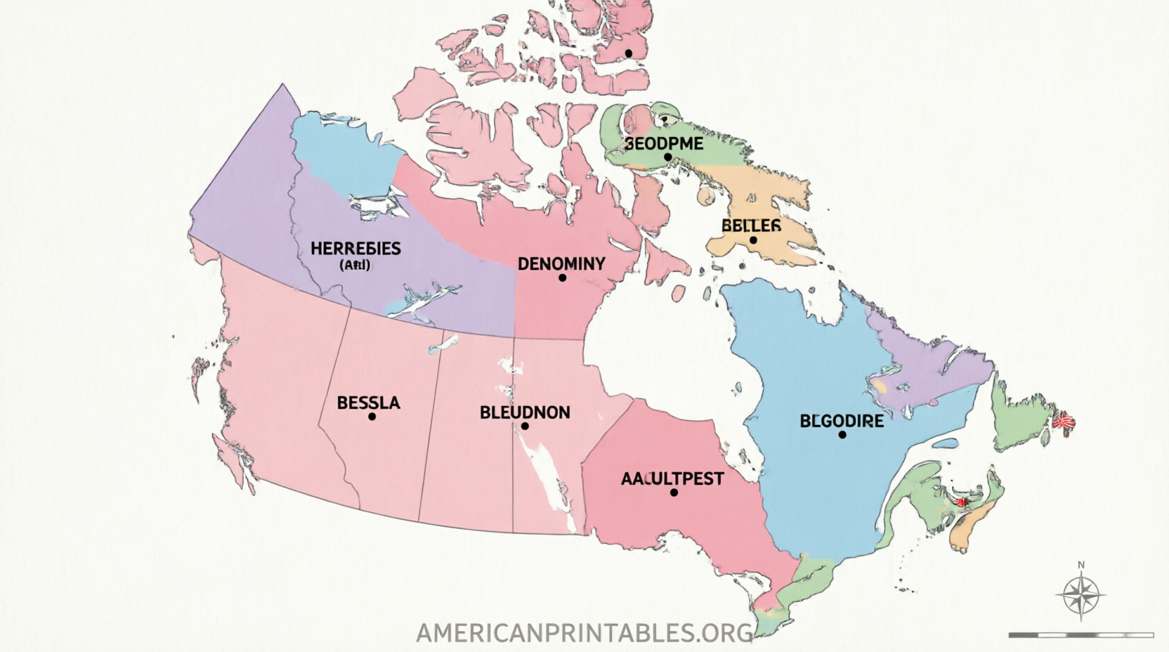
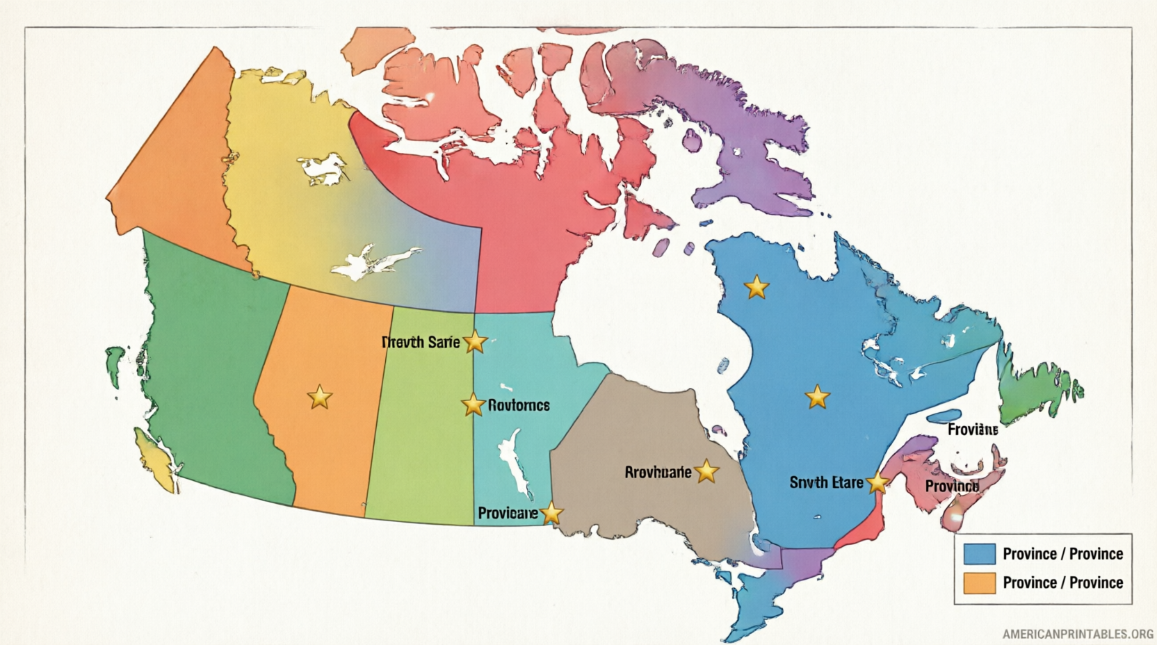
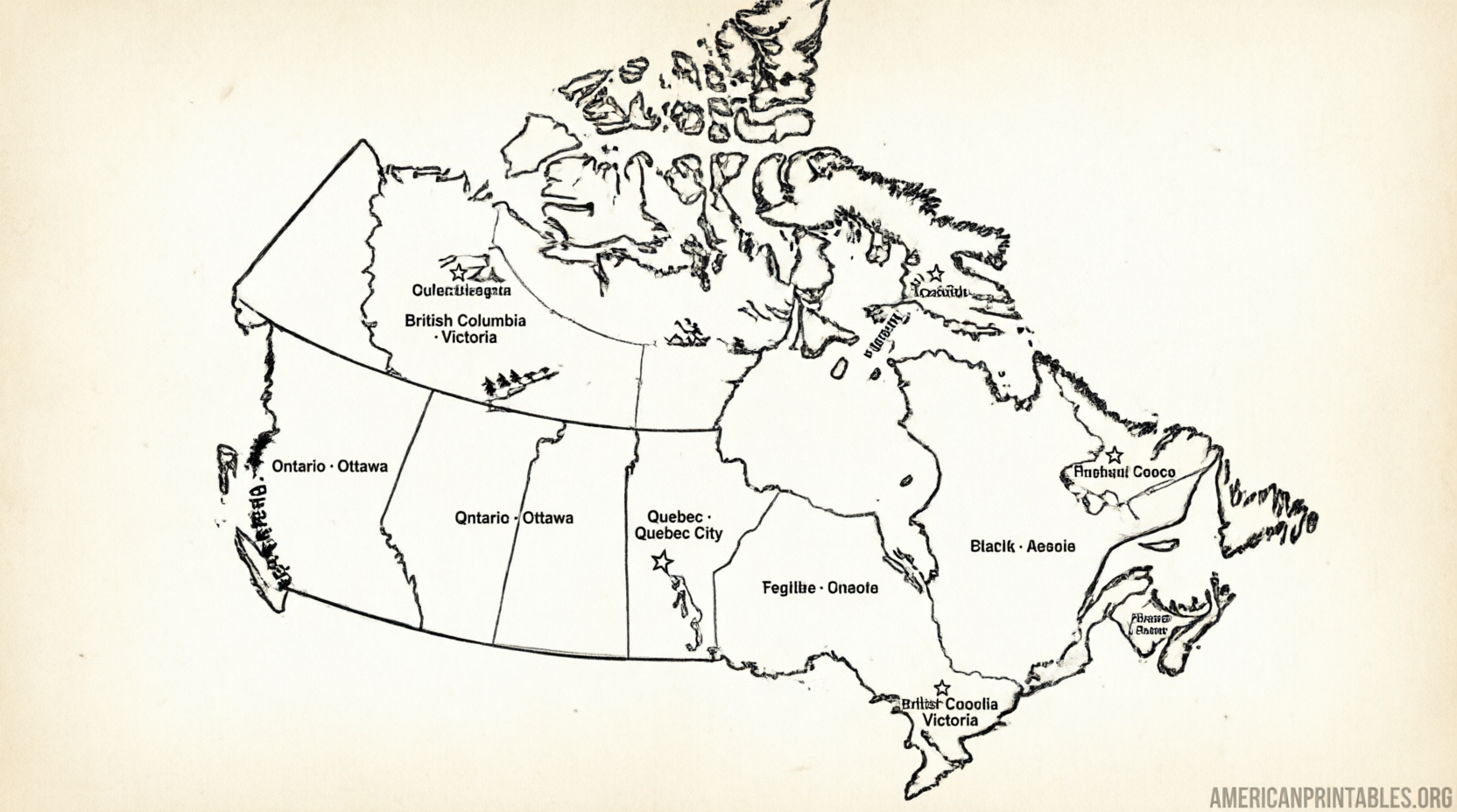
Quick Reference: Canadian Provinces, Territories & Capitals
Provinces
- Alberta – Edmonton
- British Columbia – Victoria
- Manitoba – Winnipeg
- New Brunswick – Fredericton
- Newfoundland and Labrador – St. John’s
- Nova Scotia – Halifax
- Ontario – Toronto
- Prince Edward Island – Charlottetown
- Quebec – Quebec City
- Saskatchewan – Regina
Territories
- Northwest Territories – Yellowknife
- Nunavut – Iqaluit
- Yukon – Whitehorse
National capital: Ottawa, Ontario.
Tips for Printing and Using Your Map
- Use standard U.S. Letter (8.5 × 11 in) paper for most classroom printers.
- Choose “Fit to page” or “Actual size” in your print settings so borders stay accurate.
- Print a blank outline version for labeling practice, then compare it with a fully labeled map.
- Laminate a labeled copy for repeated use as a classroom poster or study reference.
- Pair the map with a simple matching activity (province to capital) for younger learners.
FAQ
Are these maps really free?
Yes. The sources linked above provide free downloads for educational and personal use. Some sites may request optional attribution if you republish the image online.
Do the maps include the territories?
Most complete political maps show all 10 provinces plus the three territories (Yukon, Northwest Territories, and Nunavut) and their capitals.
Can I use these in a U.S. classroom?
Yes. The maps are appropriate for American schools and homeschool settings. Official government maps and educational worksheet sites are designed for this purpose.
Where is Ottawa on the map?
Ottawa sits in eastern Ontario, near the border with Quebec, on the Ottawa River.
A free printable map of Canada with provinces and capitals is one of the simplest tools for building solid North American geography knowledge. Download one of the trusted versions above, print a few copies, and you’ll have a clear visual resource ready for lessons, quizzes, or personal study.