Free Printable High-Res Vintage Maps – Looking for free printable high resolution vintage maps? These historic cartographic treasures make excellent wall art, scrapbooking materials, classroom resources, or gifts. Many public institutions in the United States offer high-quality scans of antique maps that are free to download and print for personal use.
This guide points you to legitimate, authoritative sources so you can access genuine high-resolution files without copyright concerns for non-commercial projects.
Why Choose High-Resolution Vintage Maps?
Vintage maps from the 16th to early 20th centuries capture how people once viewed the world, continents, states, and cities. High-resolution versions (often 300 dpi or higher) print clearly at larger sizes, such as 11×17 inches or poster scale, without pixelation.
They work well for:
- Home décor and framing
- Educational projects and genealogy research
- Crafts like decoupage or journals
- Office or classroom displays
Most maps from major U.S. libraries fall into the public domain or carry open licenses when digitized, especially works published before 1929–1930 in the United States. Always check the specific rights statement on each item.
Best Places to Download Free High-Resolution Vintage Maps
Here are trusted sources with free, high-resolution downloads suitable for printing.
David Rumsey Map Collection
The David Rumsey Map Collection hosts more than 150,000 high-resolution historic maps and related images spanning the 16th to 21st centuries. Focus areas include North and South America, world maps, city plans, and thematic charts.
Search by place, date, or keyword, then use the Export option to download files in multiple sizes, including large high-resolution versions ideal for printing. The collection is free and open to the public.
Visit the official site: David Rumsey Map Collection.
Library of Congress Geography and Map Division
The Library of Congress offers extensive free-to-use and reuse digital map collections. Strengths include panoramic city views, Civil War maps, railroad maps, Sanborn fire insurance maps, and exploration charts focused on the United States.
Many items carry no known copyright restrictions. Browse digital collections, zoom in on details, and download high-resolution images directly. Credit the Library of Congress, Geography and Map Division when using them.
Explore the maps here: Library of Congress Maps.
New York Public Library Digital Collections
The NYPL Lionel Pincus & Princess Firyal Map Division has released more than 20,000 cartographic works as free high-resolution downloads under a Creative Commons CC0 public domain dedication (with no known U.S. copyright restrictions).
Collections emphasize New York City and State, Mid-Atlantic regions, property maps, and broader historical views. View items in Digital Collections and download full-resolution files. Some maps are also available via the Map Warper tool for georeferencing.
Access the collections: NYPL Digital Collections.
These three institutional sources provide the most reliable high-resolution files for U.S. users. Limit downloads to what you need and respect any stated terms for commercial use.
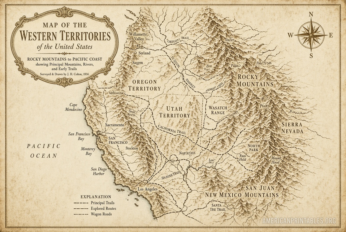
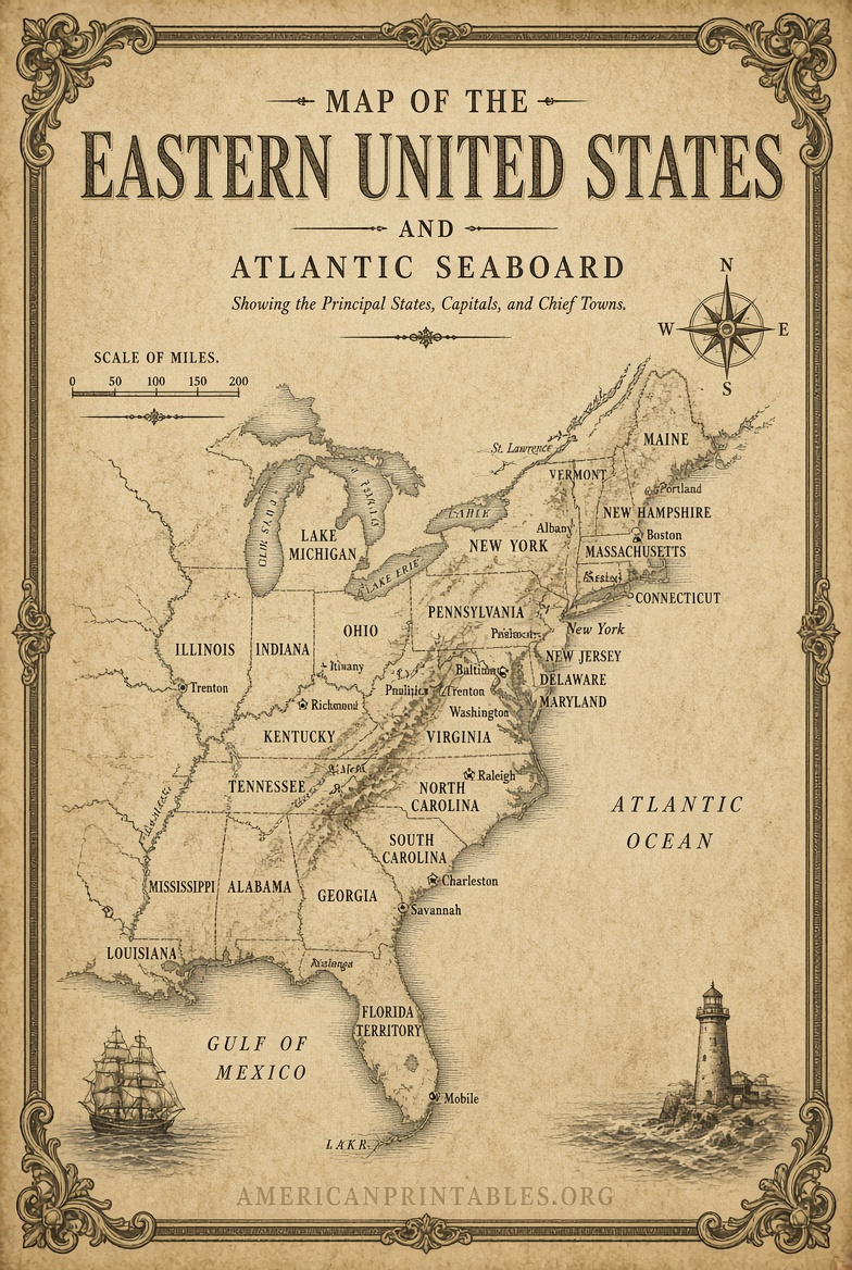
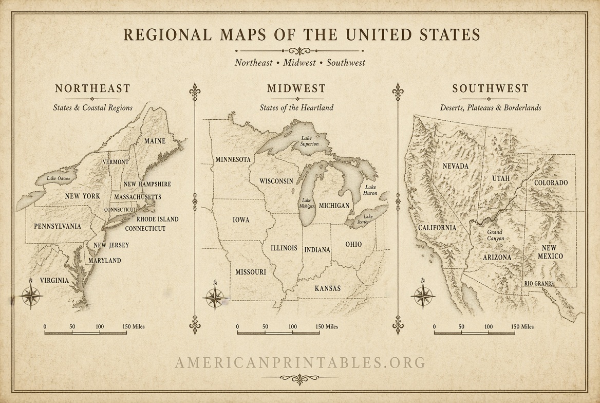
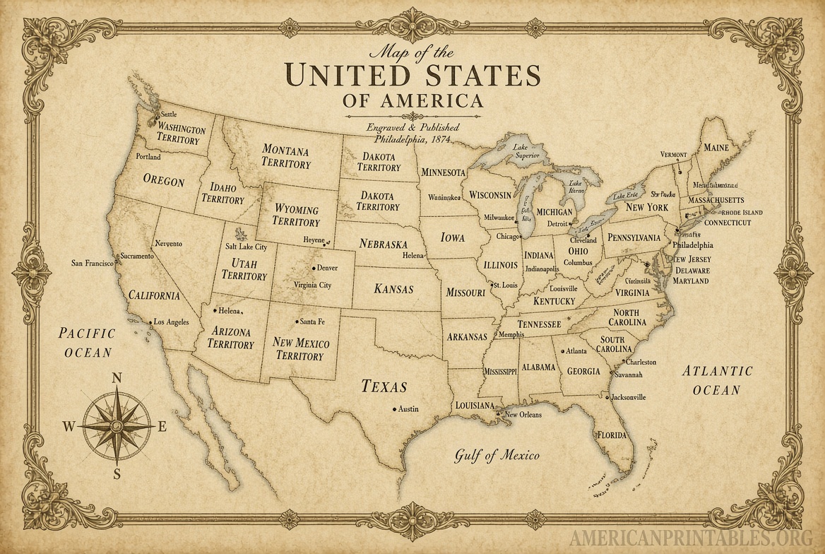
Free Printable High-Res Vintage Maps
Tips for Printing High-Resolution Vintage Maps
- Choose the largest available file size when exporting or downloading for best print quality.
- Use matte or archival paper for a classic look; glossy paper enhances color in later maps.
- For home printers, scale to letter or tabloid size. For larger prints, use services at office supply stores or online print shops that accept high-res JPEGs or TIFFs.
- Soft-proof colors if possible—older maps often have faded tones that look authentic on warm paper stocks.
- Check orientation and crop carefully; many historic maps include decorative borders or legends worth preserving.
Brief FAQ
Are these maps truly free to print?
Yes, for personal, educational, and most non-commercial uses when sourced from the public domain or open collections listed above. Always review the individual rights note.
What resolution is high enough for printing?
Aim for 300 dpi at the final print size. Files from the sources above typically support this or higher.
Can I use them commercially?
Public domain works generally allow it, but confirm the specific license and any credit requirements. Some digital scans may have additional terms.
How do I find maps of a specific U.S. city or state?
Use keyword searches such as “New York 1850,” “California railroad,” or “Boston panoramic” on the sites above.
High-resolution vintage maps remain freely available thanks to major U.S. libraries and collectors who digitize and share them. Start with the David Rumsey Collection, Library of Congress, or NYPL Digital Collections for authentic, printable results. Happy mapping and printing!