Free Printable Map of Asia With Countries – Looking for a free printable map of Asia with countries? Whether you’re a teacher prepping a geography lesson, a homeschool parent, a student studying for a quiz, or just curious about the world’s largest continent, a clear political or blank outline map is one of the most useful tools you can have.
Asia contains roughly 48 countries (counts vary slightly depending on how territories and transcontinental nations are treated) and spans an enormous area from the Middle East to the Pacific. A good free printable map of Asia with countries lets you label nations, capitals, or regions, practice map skills, or simply keep a reference on hand—all without cost.
This resource page points you to legitimate, currently available free downloads that work well on standard U.S. Letter (8.5″ × 11″) paper.
Why a Free Printable Map of Asia With Countries Is Useful?
Blank or labeled political maps of Asia are excellent for:
- Classroom labeling exercises and quizzes
- Homeschool geography units
- Travel planning or personal study
- Coloring activities or marking places you’ve visited
Most free versions come as PDF or high-resolution image files that print cleanly in black-and-white (ink-friendly) or color. Look for maps that clearly show country borders and, when needed, labels or capital markers.
Trusted Places to Download Free Printable Maps
Here are reliable, free sources that offer printable maps of Asia showing countries. All links open in a new tab.
CIA World Factbook – Asia Political Map
The U.S. government publishes a clear, labeled political map of Asia as a public-domain PDF. It shows countries, borders, and major features and is suitable for reference or printing on letter-size paper.
Download the CIA Asia political map PDF
Seterra / GeoGuessr Printables
Seterra provides ready-to-print PDFs specifically designed for learning Asian countries: a blank outline map, a labeled version, a quiz map, and an answer key. These are excellent for practice and testing.
Blank printable Asia countries map (PDF)
Labeled printable Asia countries map (PDF)
The Facts Institute – Blank Map of Asia
A clean, black-and-white blank map of Asia without country names, ideal for labeling practice. The site offers a direct PDF download for personal and educational use.
Download the free blank map of Asia PDF
GIS Geography – Blank Map of Asia with Country Outlines
This site hosts a free blank map showing country outlines (no labels) that can be printed or used online. Attribution is requested for reuse.
View/download the blank Asia countries outline map
These five resources cover both labeled political maps and blank versions suitable for quizzes and worksheets. Always check the individual site’s usage terms (most allow free personal and classroom use).
Free Printable Map of Asia With Countries
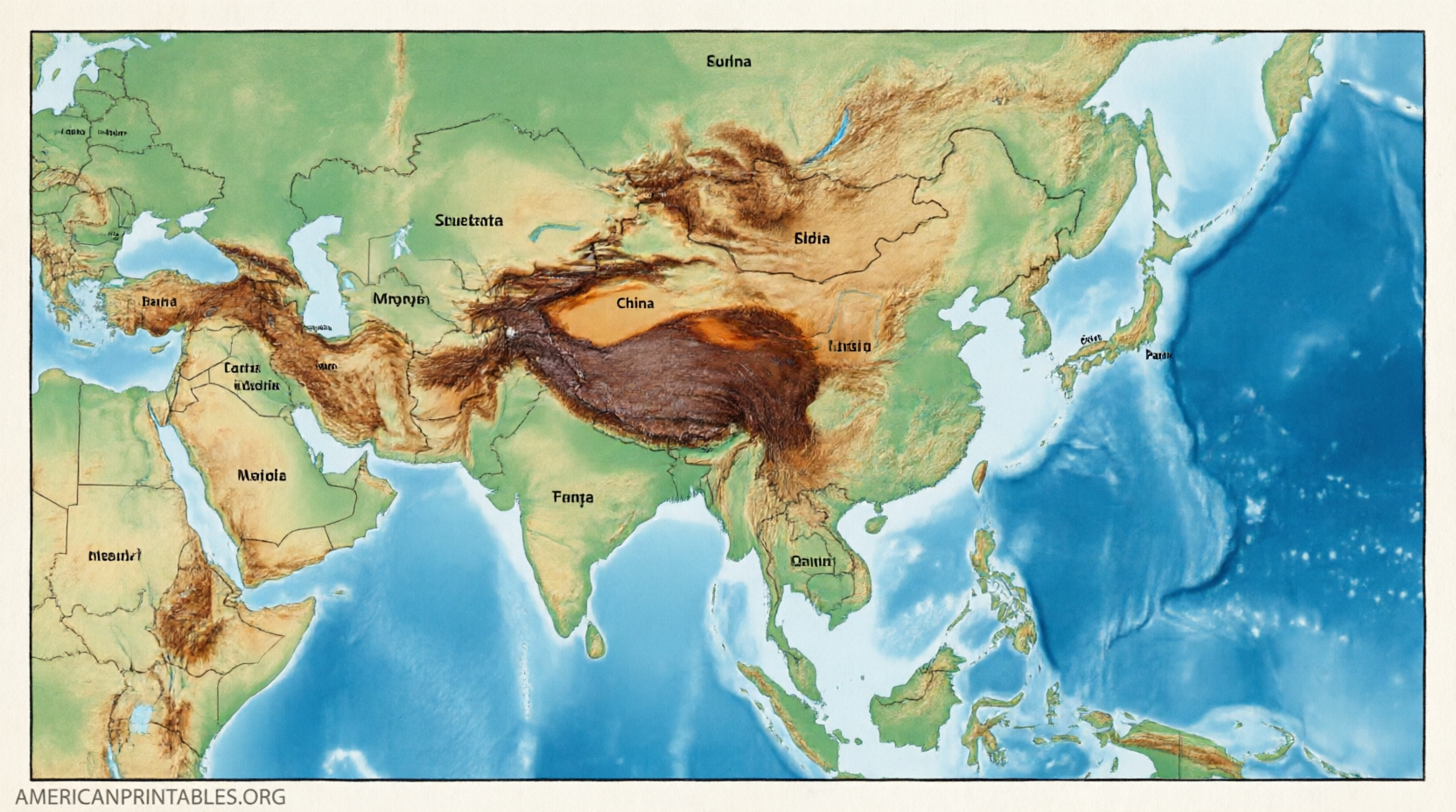
Tips for Printing and Using Your Map
- Choose U.S. Letter size settings in your printer dialogue for the best fit on standard American paper.
- Print in black-and-white to save ink when using blank outline maps.
- For classroom sets, print one master and photocopy, or download the PDF once and print multiples.
- Pair a blank map with a labeled reference version so students can self-check.
- Laminate a labeled map for repeated classroom use with dry-erase markers.
Asia’s geography includes both large nations (China, India, Russia’s Asian portion) and smaller island or peninsula states, so maps that clearly distinguish borders help avoid confusion.
Brief FAQ
How many countries are usually shown on a map of Asia?
Most educational maps show around 47–48 countries. Counts differ slightly because of how Russia, Turkey, and certain territories are treated.
Are these maps free for classroom use?
Yes—the sources listed above offer free downloads for personal and educational purposes. Always review any attribution or non-commercial notes on the original page.
What is the difference between a blank and a political map of Asia?
A blank (or outline) map shows borders without names and is ideal for quizzes. A political map labels the countries and is better for quick reference.
Can I use these maps commercially?
Most free educational maps restrict commercial use or require attribution. Check the specific source for licensing details.
A free printable map of Asia with countries is a simple, effective way to explore one of the most diverse and populous regions on Earth. Download one of the maps above, print it on letter-size paper, and start labeling or studying today.