Free Printable Map of Australia – Blank PDF – Looking for a free printable map of Australia? Whether you’re a teacher preparing a geography lesson, a homeschool parent, a student studying for a quiz, or someone planning a trip Down Under, a clear blank or labeled outline map is one of the most useful tools you can have.
This resource page points you to legitimate, no-cost places to download high-quality printable maps of Australia that work well on standard U.S. Letter paper. All recommended sources offer free downloads without requiring payment for the basic versions.
Why a Free Printable Map of Australia Is Useful?
Australia is both a country and a continent, making it a unique topic in U.S. geography curricula. Students often need to label the six states and two mainland territories, mark capital cities, or color regions. A printable blank map lets you create worksheets, quizzes, or coloring pages on demand. Travelers and map enthusiasts use them for scrapbooks, trip planning, or wall displays.
Key features most people look for include:
- Blank outline versions (for labeling practice)
- Versions with state and territory borders
- Labeled reference maps (as answer keys)
- Clean black-and-white line art that prints clearly on home or school printers
- Formats that fit U.S. Letter (8.5 × 11 inches) without excessive cropping
Best Places to Download Free Printable Maps of Australia
Here are reliable sources that currently offer free downloads. Always check the license notes on each site if you plan commercial use.
SimpleMapLab offers free printable Australia maps in blank, labeled, colored, and with-cities variants. Downloads are available as SVG, PNG, or PDF with no watermark and no signup required. The maps are public domain (CC0).
Download free printable maps of Australia from SimpleMapLab
Mappr provides several free blank maps of Australia, including plain outlines, maps with state and territory borders, labeled versions, colored maps, and practice maps. Print-ready PDFs are available.
Get free Australia blank maps from Mappr
Ultimaps offers high-resolution blank, outline, and labeled maps of Australia with states in PNG, PDF (A4 and U.S. Letter), and editable SVG formats. Free for personal and educational use (attribution required for commercial projects).
Download free blank Australia maps from Ultimaps
World Map Blank supplies free blank and outline maps of Australia with state/territory borders, sized for A4 and U.S. Letter, available as PDF and JPEG with no signup for the basic versions.
Free printable blank map of Australia from World Map Blank
For official Australian government resources, Geoscience Australia maintains maps of Australia, including basic outline maps suitable for classroom use and report-style maps showing capitals and borders.
Explore maps of Australia from Geoscience Australia
These five sources cover the most practical free options for U.S. users. Prefer vector formats (SVG or PDF) when possible for the sharpest prints at any size.
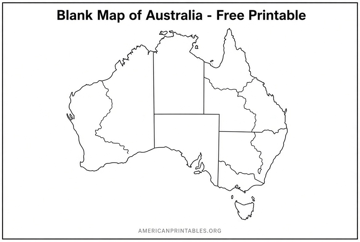
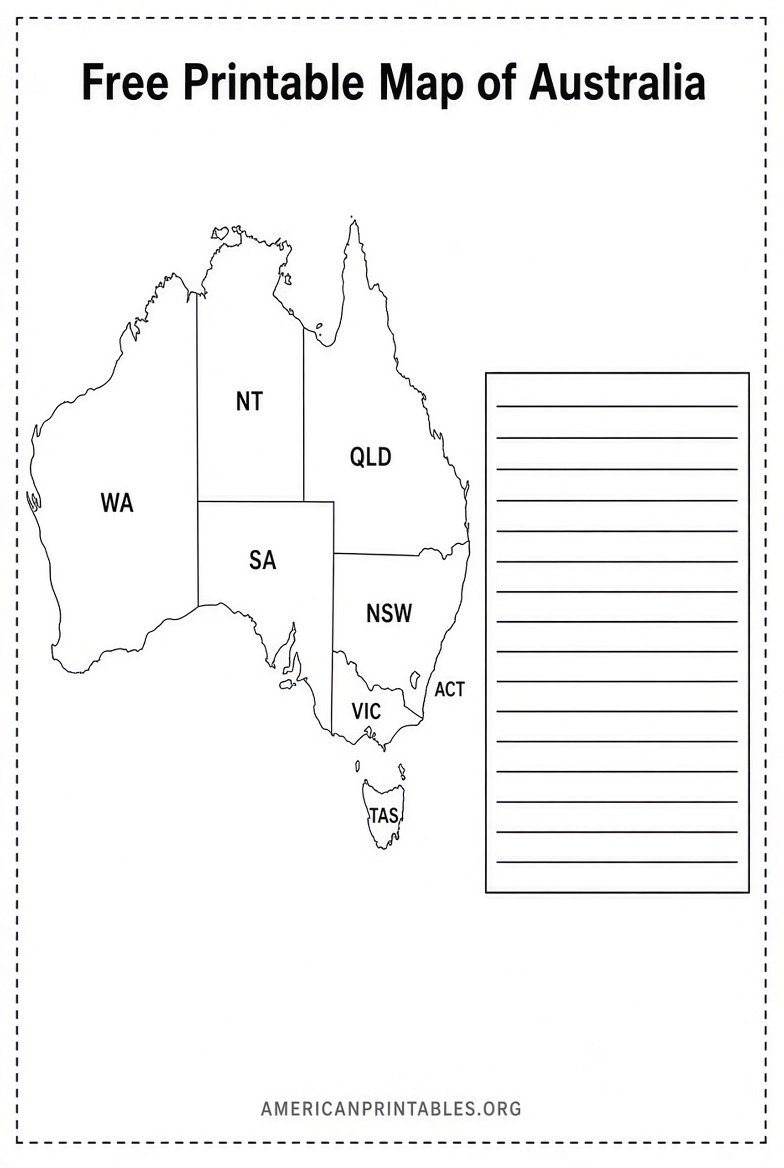
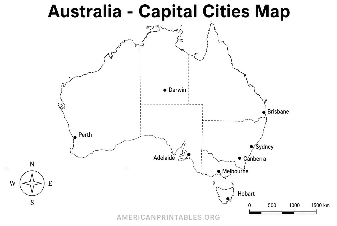
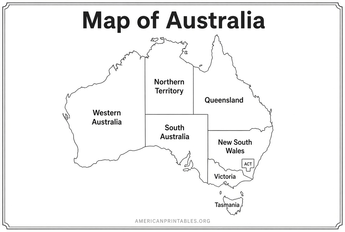
Free Printable Map of Australia – Blank PDF
Tips for Printing on U.S. Letter Paper
Most of the recommended maps are designed or can be scaled to fit 8.5 × 11-inch paper.
- Choose “Fit to page” or “Scale to fit” in your printer settings.
- Use the PDF version for best quality.
- Print in black and white for worksheets and quizzes to save ink.
- For classroom sets, print one master and photocopy, or use the digital file on a shared drive.
- Larger poster versions work well when you open the SVG or high-resolution PDF in a graphics program or send it to a print shop.
Practical Ways to Use Your Printable Australia Map
- Classroom or homeschool: Print the blank version for labeling quizzes and the labeled version as the answer key.
- Coloring and memory work: Kids color each state or territory a different color while learning names and locations.
- Travel journals: Mark places visited or plan a future itinerary.
- Presentations and reports: Insert the PNG or SVG into slides or documents.
- Geography projects: Add rivers, deserts, the Great Barrier Reef, or capital cities by hand.
Australia’s six states are New South Wales, Victoria, Queensland, Western Australia, South Australia, and Tasmania. The two mainland territories are the Northern Territory and the Australian Capital Territory (home to the national capital, Canberra).
Frequently Asked Questions
Is a free printable map of Australia really free?
Yes—the sources listed above offer the core blank and labeled maps at no cost and without requiring payment for basic downloads. Some sites sell optional bundles with extra versions.
Do these maps include state borders?
Several do. Mappr, Ultimaps, and World Map Blank provide versions with internal state and territory borders. SimpleMapLab focuses on clean country outlines with additional labeled and city options.
Can I use these maps for commercial projects?
It depends on the license. SimpleMapLab maps are public domain (CC0). Ultimaps generally requires attribution for commercial use. Always review the terms on the download page.
What size works best for U.S. printers?
U.S. Letter (8.5 × 11 inches) is the standard. Most of the recommended PDFs are prepared for both A4 and Letter sizes.
A free printable map of Australia is a simple, effective resource for learning, teaching, and planning. Download one of the options above, print it, and start labeling or coloring right away.