Free Printable Map of Costa Rica Download – Planning a trip to Costa Rica or need a map for school, homeschool, or reference? A free printable map of Costa Rica is one of the simplest tools for U.S. travelers and educators. These maps help you visualize provinces, major roads, national parks, beaches, and key cities like San José without relying solely on a phone signal.
Costa Rica sits in Central America between Nicaragua and Panama, with Pacific and Caribbean coasts. Printable versions work well on standard U.S. letter-size (8.5 x 11 inch) paper and are ideal for trip planning, note-taking, or classroom labeling activities.
Why Download a Free Printable Map of Costa Rica?
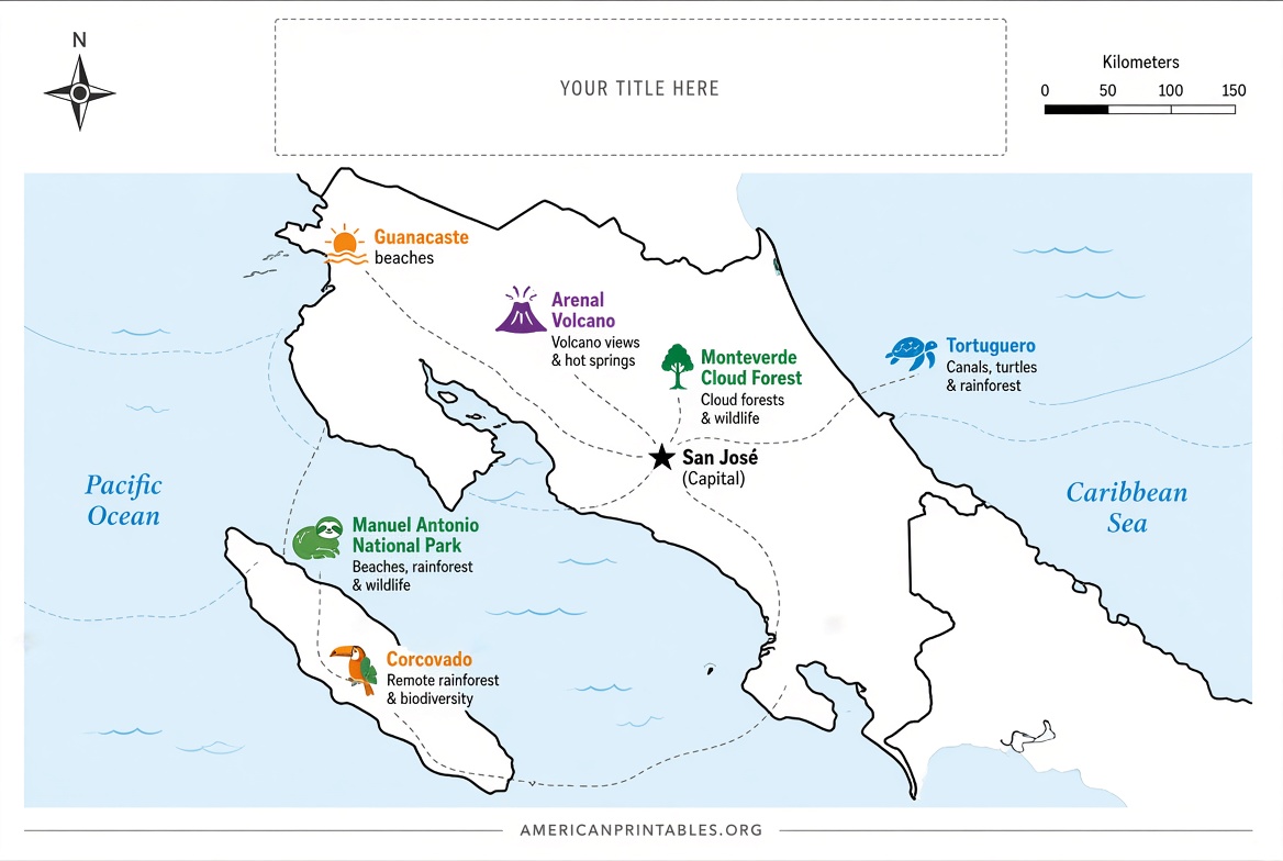
Digital maps are convenient, but a paper version stays readable offline, lets you mark routes or hotels by hand, and serves as a quick overview. Travelers from the U.S. often use them for driving distances between popular spots such as Arenal, Manuel Antonio, Monteverde, and the Guanacaste beaches. Teachers and students use blank outline versions for geography lessons.
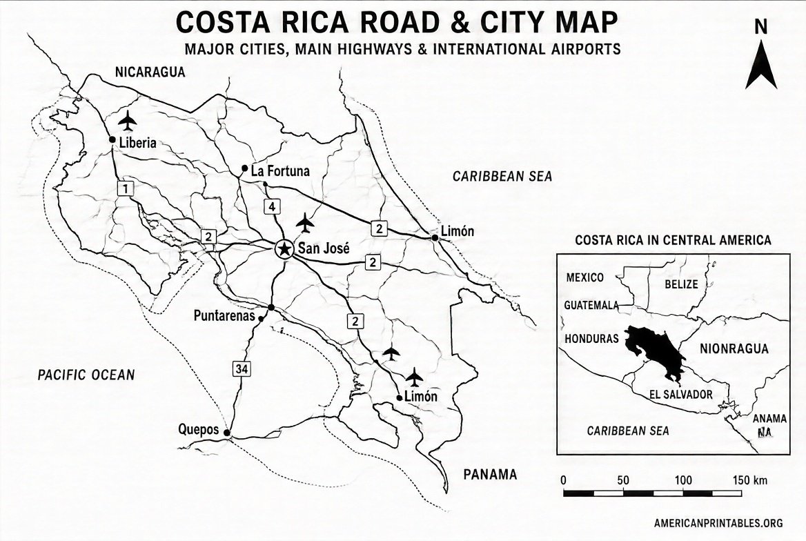
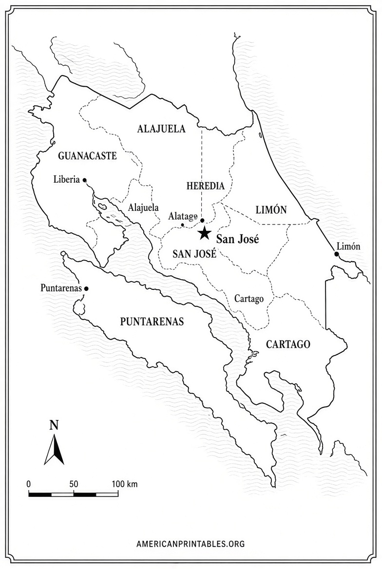
Look for maps that show provinces (San José, Alajuela, Cartago, Heredia, Guanacaste, Puntarenas, Limón), major highways, national parks, and airports. Always confirm the source allows free personal or educational use.
Best Places for Legitimate Free Printable Maps
Here are reliable, current sources that offer free downloads or printable files. All links open in a new tab.
- Costa Rica Guide printable highway map — This detailed road map includes driving distances, a city/town index, national parks, reserves, and wildlife refuges. It is formatted for high-resolution printing on standard 8.5 x 11 pages and is free for personal use. Regional detail maps (Arenal, Manuel Antonio, Tamarindo, and others) are also available on the same site. Download from the official page: costa-rica-guide.com printable Costa Rica map.
- CIA World Factbook / Maps — Public-domain administrative, physiography, and transportation maps designed to print on 8.5 x 11 paper. These official U.S. government maps may be freely copied. View and download the JPEGs here: CIA Costa Rica maps.
- Mapswire free maps — Physical, blank physical, printable, blank printable, and plain outline maps under a Creative Commons (CC-BY 4.0) license. Direct image downloads are available for personal or project use. Get them at: Mapswire Costa Rica maps.
- Instituto Costarricense de Turismo (ICT) official maps — Costa Rica’s national tourism institute provides regional and tourist maps in PDF format, including a 2024 tourist map and area-specific files (Guanacaste, Central Pacific, Caribbean, etc.). These are free digital downloads from the official site: ICT tourist maps.
These four sources prioritize accuracy, legitimacy, and free personal/educational access. Avoid random image sites that may have unclear licensing or low quality.
Free Printable Map of Costa Rica Download
Tips for Printing and Using Your Map
Print on letter-size paper at the highest quality setting your printer allows. For better durability on the road, use heavier paper or laminate the sheet. Mark routes, lodgings, or park entrances with a highlighter or pen.
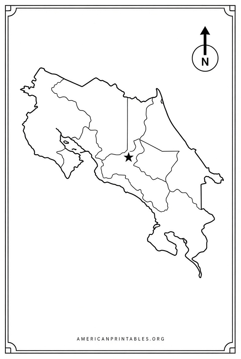
Blank outline maps work well for quizzes or coloring activities with kids. Road and tourist maps help estimate drive times (Costa Rican roads can be winding and slower than U.S. highways). Pair a printed overview with offline GPS apps for detailed navigation.
Store a digital copy on your phone or tablet as a backup. Check for updates before major trips, as road conditions or park boundaries can change.
Quick FAQ
Are these maps really free?
Yes, the linked resources explicitly offer free personal or public-domain use. Commercial reproduction may require permission—check each site’s terms.
What paper size works best?
Most are optimized for U.S. letter (8.5 x 11 inches). Fit-to-page settings usually handle them cleanly.
Can I use a printable map for school projects?
Blank and outline versions from Mapswire or similar educational sources are suitable for classroom and homeschool use under the stated licenses.
Do I still need digital maps?
A printed free printable map of Costa Rica gives the big picture; smartphone maps or apps provide real-time traffic and turn-by-turn directions.
Download one or two versions that match your needs—road-focused for travel or blank for learning—and you’ll have a practical, ready-to-use resource. Safe travels or happy studying!