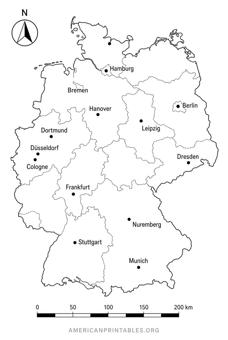
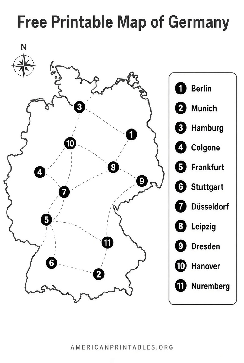
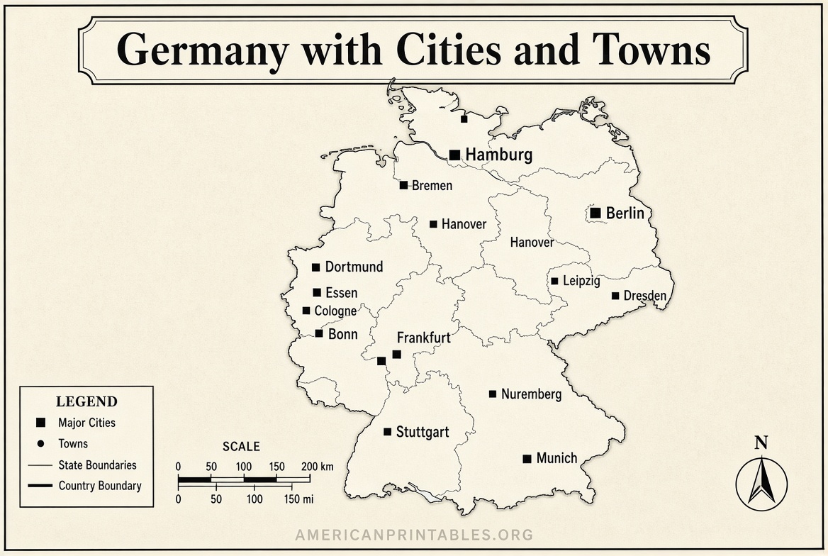
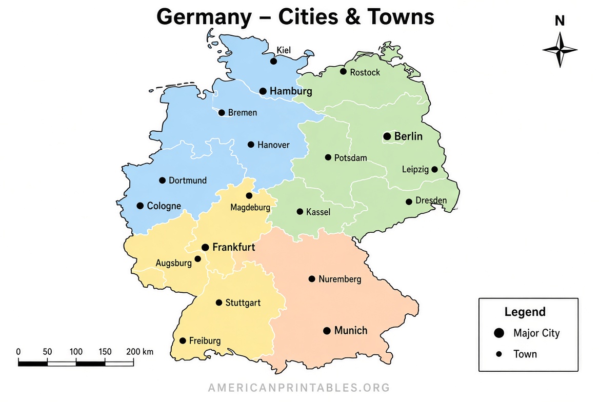
Free Printable Map of Germany With Cities – Looking for a free printable map of Germany with cities and towns? Whether you are a student, teacher, homeschool parent, or traveler in the United States, a clear labeled map makes it easy to study geography, plan a trip, or teach about Europe’s largest economy.
Germany sits in the heart of Europe and is divided into 16 federal states (Bundesländer). Its major cities—Berlin, Hamburg, Munich, Cologne, Frankfurt, and many others—appear on most quality printable maps. This resource page points you to legitimate free downloads that include cities, towns, state borders, and neighboring countries. All recommended files work well on standard US Letter paper.
Why Use a Printable Map of Germany with Cities and Towns?
A labeled map helps you:
- Locate Berlin (the capital) and other major urban centers
- See how the 16 states connect
- Identify towns along the Rhine, Elbe, or in Bavaria
- Support classroom lessons, quizzes, or travel research
- Print multiple copies without cost
Blank outline versions are also useful for labeling practice or coloring activities.
Trusted Free Printable Sources
Here are reliable places to download free printable maps of Germany that include cities and towns. These sites offer PDF or high-resolution image files suitable for home or school printers.
One of the most convenient options is the political map collection at Printable World Maps. It provides free PDF downloads of Germany maps showing states, capitals, and major cities in both portrait and landscape orientations. Direct download links for maps with cities are available on the page.
Download free political maps of Germany with cities (PDF)
For a detailed view focused on cities and towns, OnTheWorldMap offers a clear map that marks numerous urban locations across Germany. It is free for educational, personal, and non-commercial use (attribution required for web or published work).
View and download the map of Germany with cities and towns
If you need blank or outline versions for labeling exercises, World Map Blank provides free printable blank maps of Germany (including state borders and some city markers). These are formatted for A4 and print cleanly on US Letter size.
Get free blank and outline maps of Germany
For public-domain historical and political maps produced by the U.S. government, the Perry-Castañeda Library Map Collection at the University of Texas hosts CIA maps of Germany. These are free to download and use.
Access free CIA maps of Germany from the University of Texas
Free Printable Map of Germany With Cities
Tips for Printing and Using Your Map
- Choose PDF files for the sharpest results.
- Set your printer to “Fit to page” or “Actual size” and select US Letter paper.
- Color versions work well for reference; black-and-white outlines suit quizzes or coloring.
- Laminate a copy for repeated classroom use.
- Combine a labeled map with a blank version so students can practice locating cities such as Berlin, Munich, Hamburg, Cologne, Frankfurt, Stuttgart, and Leipzig.
Major Cities You’ll Typically See
Most free printable maps of Germany with cities and towns highlight:
- Berlin (capital and largest city)
- Hamburg
- Munich
- Cologne (Köln)
- Frankfurt am Main
- Stuttgart
- Düsseldorf
- Leipzig
- Dortmund
- Essen
Smaller towns appear on more detailed versions. State capitals (for example, Munich for Bavaria, Hanover for Lower Saxony) are usually labeled as well.
Quick FAQ
Are these maps really free?
Yes. The sources linked above explicitly offer free downloads for personal, educational, or non-commercial use. Always check the individual site’s terms (some request attribution).
Will they print well on US Letter paper?
Yes. Most PDFs are designed for A4 but scale cleanly to US Letter (8.5 × 11 inches).
Can I use them in a classroom or for homeschooling?
Yes. These maps are commonly used for geography lessons, quizzes, and travel studies.
Where can I find maps that also show highways or rivers?
Some of the political maps on the Printable World Maps page include additional features such as highways and railroads.
A free printable map of Germany with cities and towns is a simple, practical tool for learning or planning. Start with one of the direct download pages above, print a few copies, and you’ll have a clear reference ready for study, teaching, or your next European adventure.