Free Printable Map of Greece and Islands – Looking for a free printable map of Greece and islands? Whether you need one for a school project, classroom lesson, travel planning, or home geography study, several reliable sources offer high-quality maps you can download and print at no cost.
Greece sits in southeastern Europe on the Balkan Peninsula. It includes a rugged mainland plus thousands of islands scattered across the Aegean, Ionian, and Mediterranean Seas. Popular island groups include the Cyclades (Santorini, Mykonos), Crete, the Dodecanese (Rhodes), the Ionian Islands (Corfu, Kefalonia), and the Sporades. A clear map helps you locate Athens, major cities, ferry routes, and the larger islands quickly.
Why Use a Free Printable Map of Greece?
Printable maps work well for American users because many official versions fit standard letter-size (8.5 × 11 inch) paper. Teachers use them for labeling activities, students for reports, and travelers for offline trip planning. Blank outline versions let you add your own notes or color regions. Labeled political and physical maps show borders, cities, mountains, and seas at a glance.
Always choose maps from trusted providers that clearly state free or public-domain use. Avoid sites that bury downloads behind paid subscriptions or unclear licenses.
Best Free Sources for Printable Greece Maps
Here are some of the most authoritative and useful free options currently available.
Official CIA Maps (Public Domain)
The U.S. Central Intelligence Agency provides several Greece maps designed to print cleanly on letter-size paper. Options include an administrative map (showing regions), a physiography map (terrain and elevation), and a transportation map. These are in the public domain, so you may copy and use them freely without permission.
Download them directly from the CIA Greece maps page:
CIA Greece Maps.
Free Printable Maps from Mapswire
Mapswire offers physical maps, blank physical maps, printable labeled maps, and plain outline maps of Greece under a Creative Commons Attribution 4.0 license. The files are high-resolution images ready for home or classroom printing.
Visit the free Greece maps collection:
Mapswire Free Maps of Greece.
Political Map with Islands from Nations Online Project
This detailed political map shows international borders, Athens, major cities, administrative capitals, main roads, railroads, airports, and many of the larger Greek islands. It is free for educational and similar purposes when you credit the source.
View and use the map here:
Nations Online Political Map of Greece.
Outline and Blank Maps from Mappr
Mappr provides free outline maps, blank political maps, and capital-location maps of Greece in color and black-and-white versions. These are useful for labeling exercises or simple reference. Attribution is required under their Creative Commons license.
Browse the collection:
Mappr Free Printable Greece Maps.
These four sources give you a solid mix of official, labeled, blank, and island-inclusive options without exceeding practical limits.
Free Printable Map of Greece and Islands
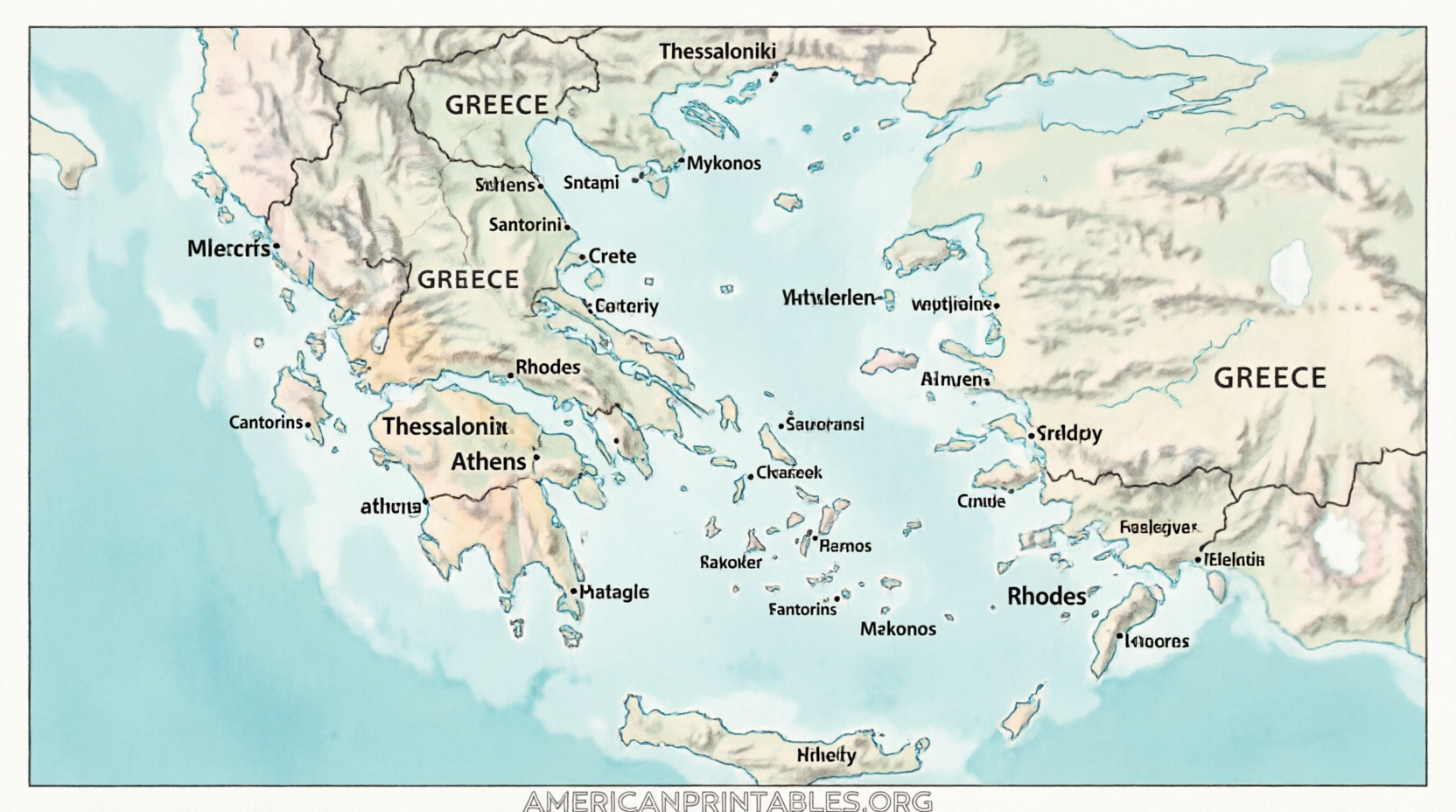
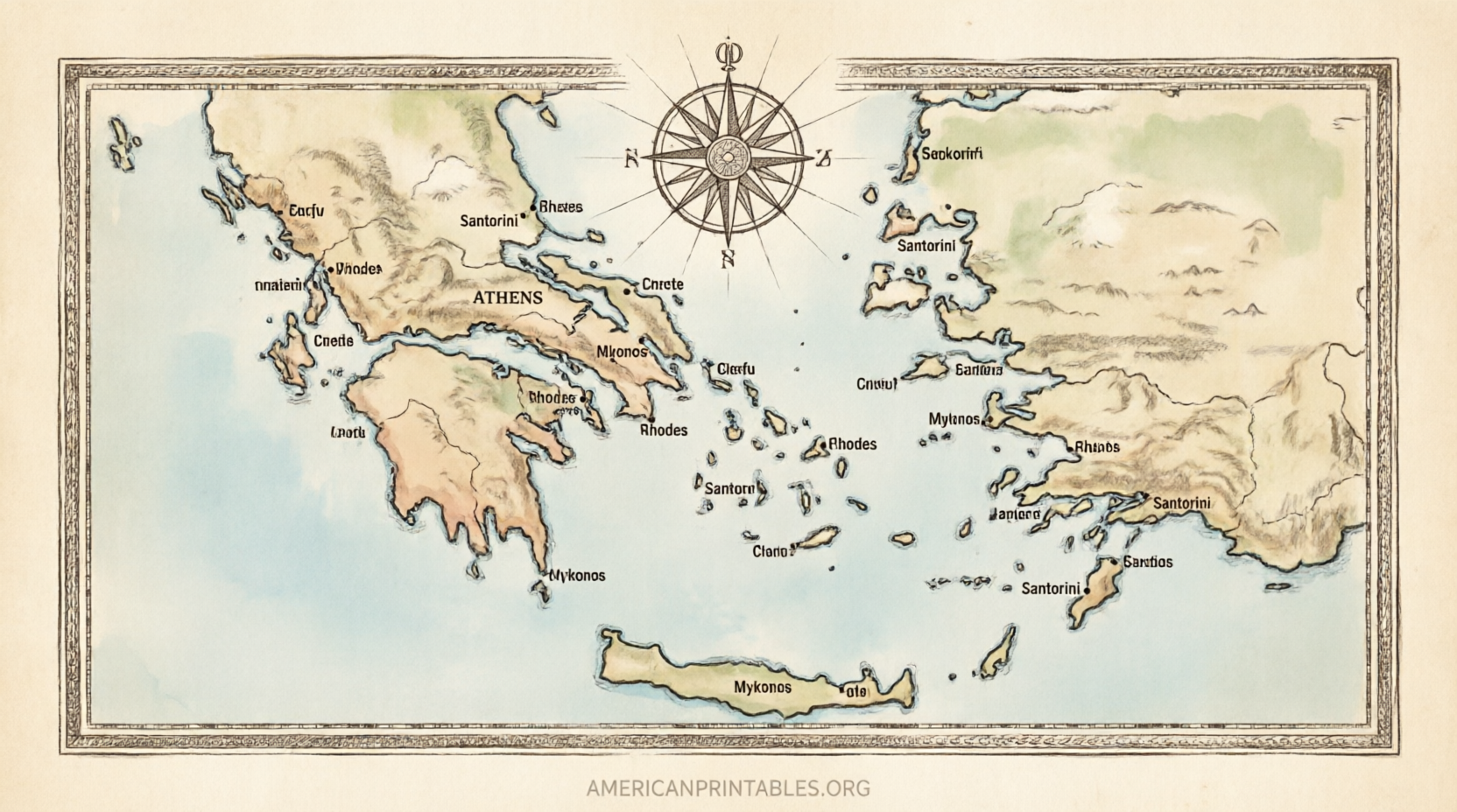
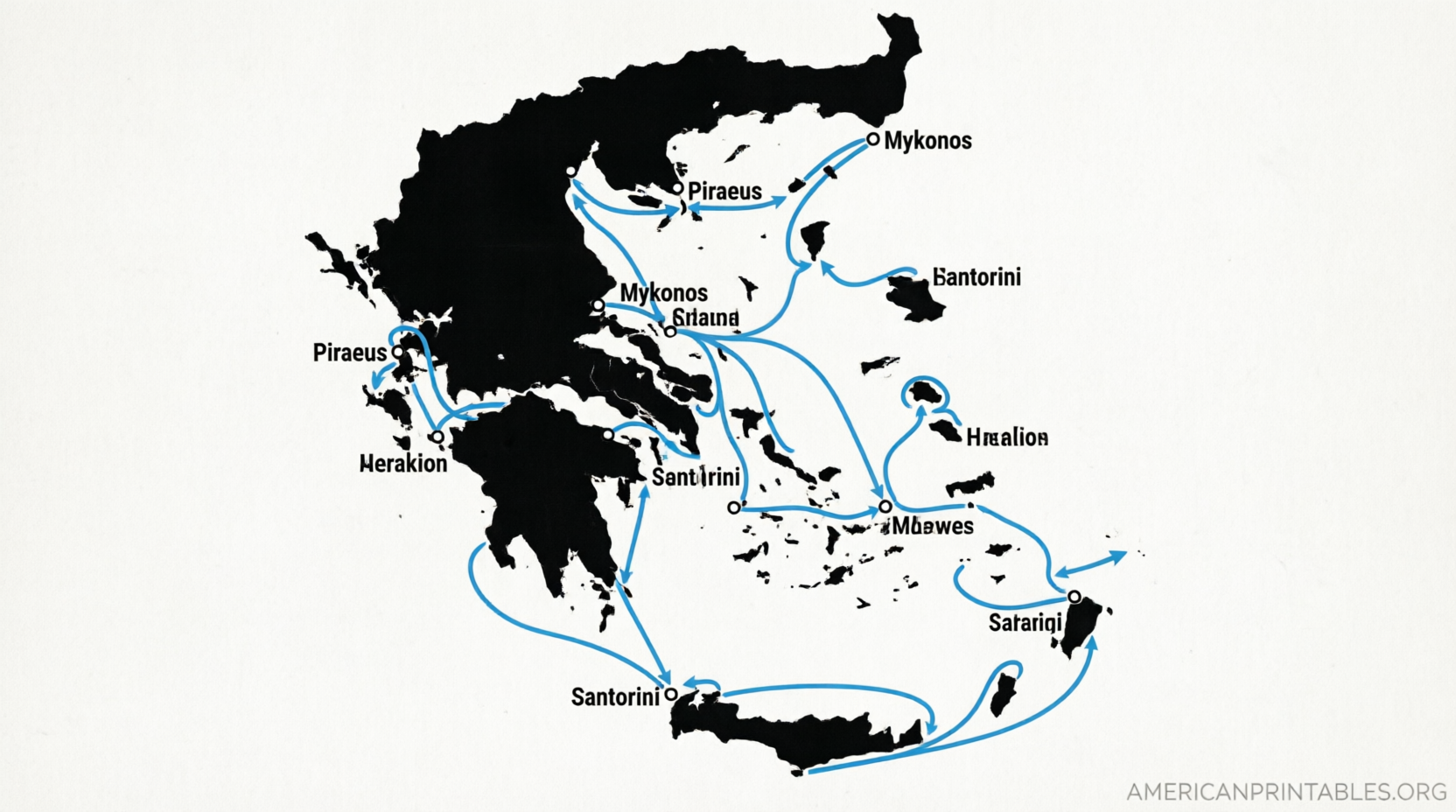
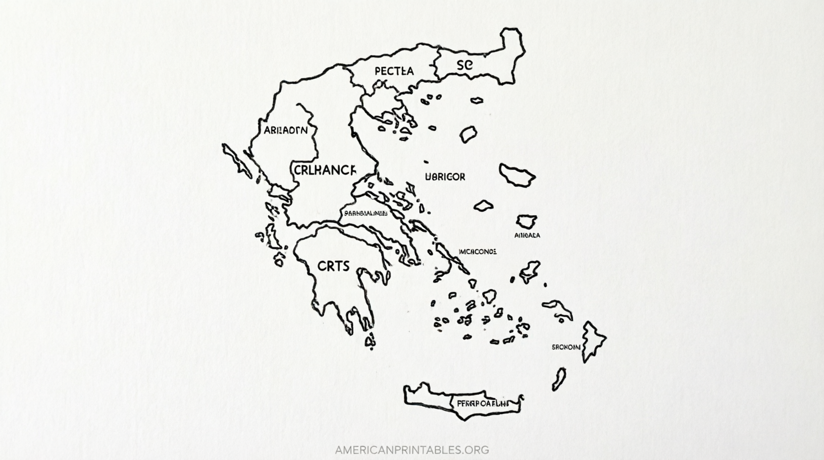
How to Download and Print Your Map?
- Open the link in a browser on a computer or tablet.
- Choose the map version that fits your need (labeled, blank, physical, or administrative).
- Download the JPEG, PNG, or PDF file.
- Open the file and set your printer to letter size (or A4 if preferred).
- Print in color for clearer labels or black-and-white for coloring activities.
For best results, use regular printer paper for classroom use or slightly heavier stock if you plan to write on the map repeatedly.
Tips for Using a Greece Map Effectively
- Label major islands such as Crete, Rhodes, Corfu, Lesbos, and Santorini.
- Note the mainland regions (Attica, Peloponnese, Thessaly, Macedonia, etc.).
- Mark Athens and Thessaloniki for orientation.
- Pair a political map with a physical one to understand both borders and terrain.
- For travel, combine a printable overview with current ferry schedules from official tourism sites.
Blank maps are especially helpful for quizzes or interactive lessons. Students can color the Aegean and Ionian Seas, outline the larger islands, and add place names.
Brief FAQ
Are these maps truly free?
Yes. The CIA maps are public domain. The others are offered under Creative Commons or educational-use terms that allow free personal, classroom, and non-commercial use when attribution rules are followed.
Do the maps show the Greek islands clearly?
Most include the major island groups. Detailed political maps highlight Crete, the Cyclades, Dodecanese, Ionian Islands, and others.
Can I use them for commercial projects?
Check each site’s license. Public-domain CIA maps generally allow broad reuse. Creative Commons versions usually require attribution and may restrict commercial use without permission.
What size paper works best?
U.S. letter (8.5 × 11 inches) is ideal for the CIA maps and most home printers.
A free printable map of Greece and islands is a practical tool for learning geography or planning a trip. Start with the official CIA page for reliable letter-size options, then explore the other free collections for blank or more detailed versions. Download, print, and enjoy exploring Greece on paper.