Free Printable Map of Greece PDF Downloads – Looking for a free printable map of Greece? Whether you need a blank outline for a classroom labeling activity, a labeled political map for travel planning, a physical map showing mountains and islands, or resources for studying ancient Greece, reliable free options exist that print cleanly on standard US Letter paper.
Greece’s geography—mountainous mainland, thousands of islands in the Aegean and Ionian Seas, and a long Mediterranean coastline—makes visual maps especially useful for students, homeschoolers, teachers, and travelers in the United States. Below you’ll find clear explanations of the main types of maps and direct links to legitimate free downloads from trusted sources.
Why a Free Printable Map of Greece Is Useful?
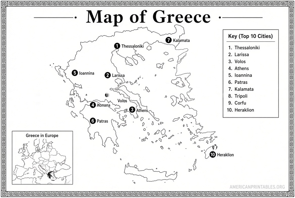
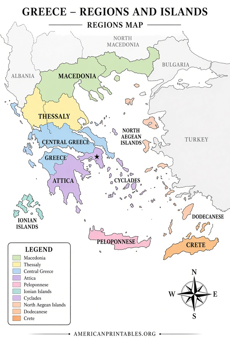
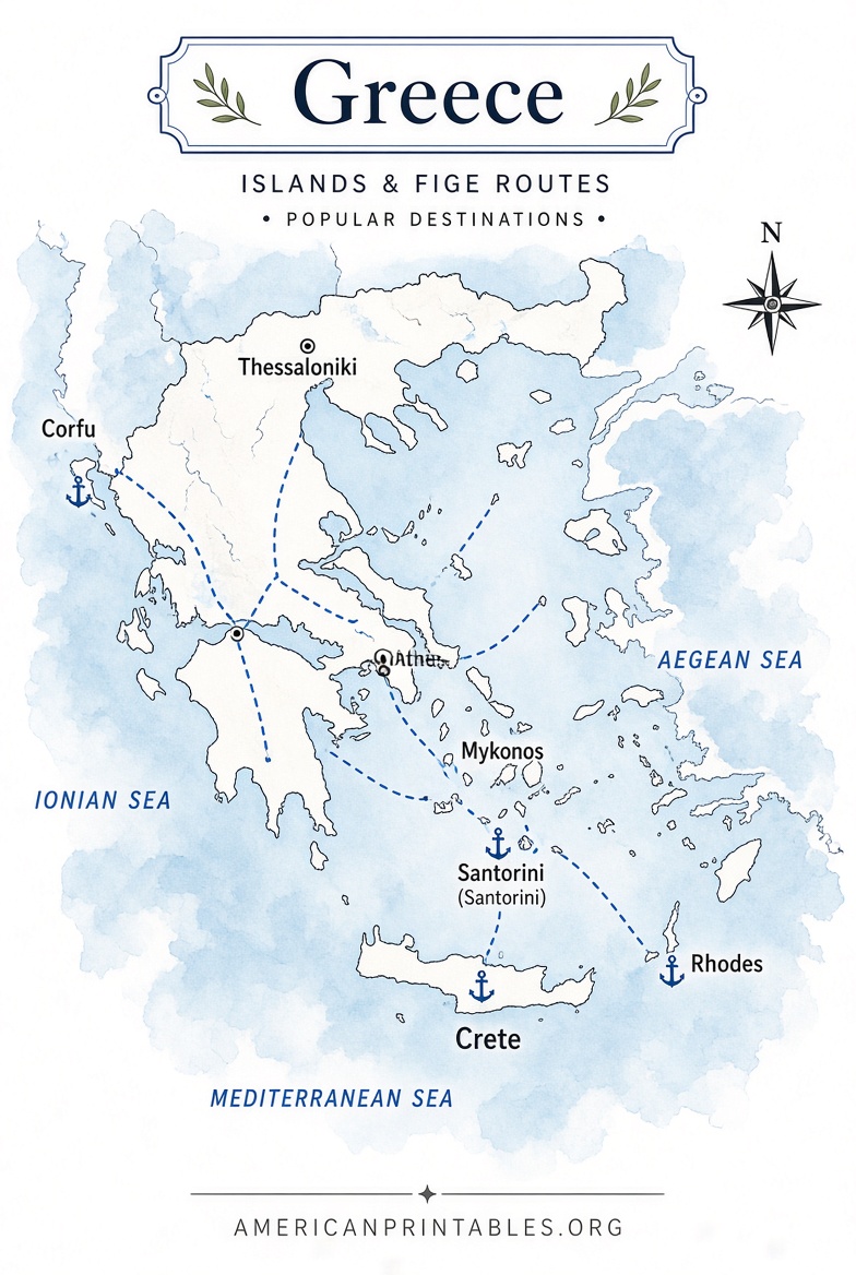
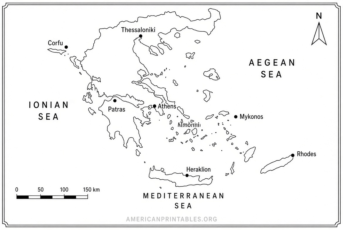
A printable map of Greece helps with geography lessons, history units on classical civilization, trip planning to Athens, the islands, or the mainland, and even simple coloring or quiz activities. Blank versions work well for labeling regions, cities, or landforms. Labeled versions serve as quick references or answer keys. Physical maps highlight terrain that shaped ancient city-states and modern travel routes. Public-domain and Creative Commons maps from official or educational sites keep everything free and legal for personal, classroom, or non-commercial use.
Official Public-Domain Maps from the CIA
One of the most authoritative free sources is the CIA’s map collection. These maps are in the public domain, so you can print and use them freely (remove the map number if you modify them). They are sized to print on 8.5″ × 11″ US Letter paper.
Available maps include:
- Administrative (showing regions)
- Physiography (terrain and elevation)
- Transportation
Download them directly here:
CIA Greece Maps (Administrative, Physiography, Transportation).
These are excellent for accurate, no-frills reference maps suitable for school projects or personal study.
Free Printable and Blank Maps (US Letter Ready)
For clean blank, outline, labeled, and vector options that include administrative regions, Ultimaps offers high-resolution PNG, SVG, and print-ready PDF files in both US Letter and A4 sizes. The maps are free for personal and commercial projects (with simple attribution if you remove their mark). Blank and outline versions are ideal for coloring, labeling exercises, or custom annotations.
Access the downloads here:
Ultimaps Blank Greece Map with Regions (PDF, PNG, SVG).
Mapswire provides another set of free maps under a Creative Commons (CC-BY 4.0) license. You can download physical maps, blank physical maps, printable versions, and plain maps. Use the download buttons on the page for the largest available images.
Find them here:
Mapswire Free Maps of Greece.
Political Map for Educational Use
Nations Online Project offers a clear political map of Greece showing international borders, Athens, major cities, islands, administrative region capitals, roads, railroads, and airports. It is free for educational and similar purposes; simply credit the source if you publish or distribute it.
View and use the map here:
Nations Online Political Map of Greece.
Free Maps of Ancient Greece for Classrooms
If your focus is history rather than modern geography, Mr. Donn’s educational site provides original free-use maps created for teachers and students. These cover early civilizations (Mycenaeans, Minoans, Dorians), major city-states (Athens, Sparta, Argos, Corinth, Megara), the Trojan War, and related topics. Right-click and save the images for classroom or homework use.
Access them here:
Free Use Maps of Ancient Greece for Kids and Teachers.
Free Printable Map of Greece PDF Downloads
Tips for Printing Your Free Map of Greece
- Choose US Letter (8.5″ × 11″) PDFs when available for the best fit on American printers.
- Use “Fit to page” or 100% scale in your print settings to avoid distortion.
- For blank maps, print in black-and-white or grayscale to save ink if students will color or label them.
- Higher-resolution PNG or SVG files work well if you need to enlarge the map for posters or detailed annotation.
- Always check the license note on the download page (public domain, CC-BY, or educational free use) before commercial or redistribution use.
Quick FAQ
Are these maps really free?
Yes. The CIA maps are public domain. The others use Creative Commons or explicit free educational licenses. None of the linked resources require payment or account creation for basic downloads.
What paper size works best for USA users?
US Letter. Several sources specifically offer Letter-size PDFs.
Can I use these in a classroom or for homeschool?
Yes. The CIA, Nations Online, Mr. Donn, and Ultimaps resources are suitable for educational use. Follow any attribution guidelines provided.
Where can I find a map that shows both the mainland and the islands clearly?
Most of the political, physical, and administrative maps listed above include the major islands (Crete, the Cyclades, Ionian islands, etc.) along with the mainland.
These free printable maps of Greece give you accurate, ready-to-use resources without cost or complicated sign-ups. Start with the CIA or Ultimaps links for the most straightforward US Letter downloads, then explore the others based on whether you need blank worksheets, physical detail, or ancient history context. Happy mapping!