Free Printable Map of India | PDF Downloads – Looking for a free printable map of India? Whether you need a blank outline for school projects, a labeled states map for geography lessons, or a simple reference for travel planning, several reliable sources offer high-quality options you can download and print at home on standard US Letter paper.
This guide explains what free printable maps of India typically include, how to choose the right one, and where to find legitimate, no-cost downloads from authoritative providers.
Why Use a Free Printable Map of India?
A free printable map of India is useful for students, teachers, homeschoolers, and anyone studying South Asian geography. Common uses include labeling states and union territories, marking rivers or mountain ranges, classroom quizzes, coloring activities, and basic travel orientation.
India has 28 states and 8 union territories. Outline or blank versions let learners fill in details themselves, while labeled or administrative maps provide ready reference. Most free options are black-and-white line drawings that print cleanly on home or school printers.
Types of Free Printable Maps Available
- Blank/outline maps: Country border only, or borders with internal state lines but no names. Ideal for practice and quizzes.
- Labeled political maps: States, union territories, and often capitals or major cities marked.
- Physical or thematic maps: Terrain, rivers, or transportation features.
- Administrative maps: Official boundary views useful for accurate reference.
Look for versions sized for US Letter (8.5 × 11 inches) so they fit standard American printers without cropping. Vector formats (PDF or SVG) scale best for larger prints.
Trusted Places to Download Free Printable Maps of India
Prioritize official or public-domain sources to ensure accuracy and free, legal use.
Survey of India (Official Government Source)
The Survey of India provides free outline maps of India in PDF format at various scales. These include basic outlines, versions with major rivers, and maps showing state boundaries. They are intended for educational use and can be downloaded directly.
Download free outline maps from Survey of India
CIA Public-Domain Maps
The CIA offers administrative, physiography, and transportation maps of India that print on standard 8.5 × 11-inch paper. These are in the public domain, so you may copy and print them freely.
View and download CIA India maps
SimpleMapLab Public-Domain Blank Maps
This site provides clean, high-resolution blank, labeled, colored, and city-marked maps of India in SVG, PNG, and PDF. Files are public domain (CC0), require no signup or watermark, and are optimized for US Letter printing.
Download free printable India maps from SimpleMapLab
These three sources give you current, legitimate free options without paywalls or misleading claims. Always check the page for the specific download link and confirm the file is free for personal or educational use.
Free Printable Map of India | PDF Downloads
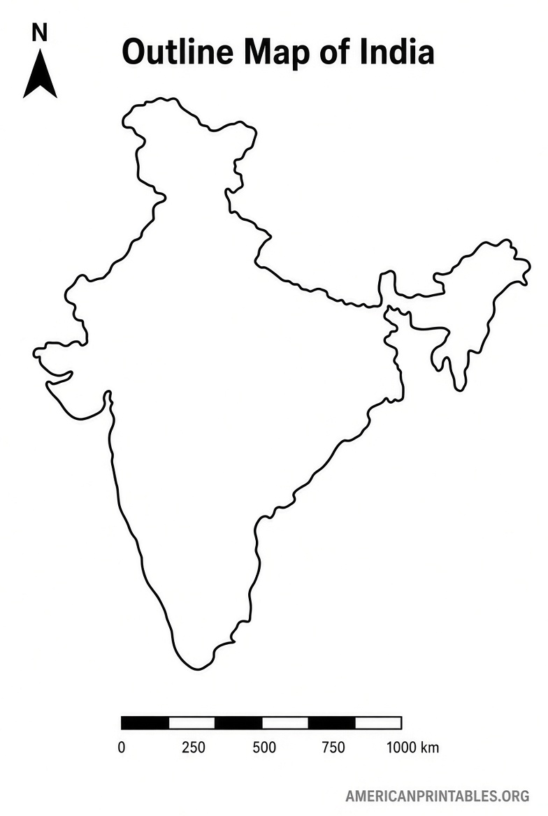
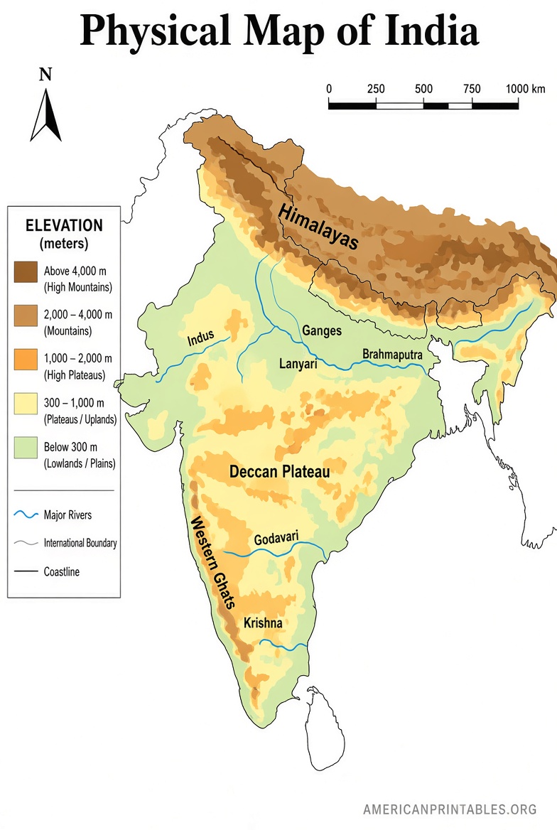
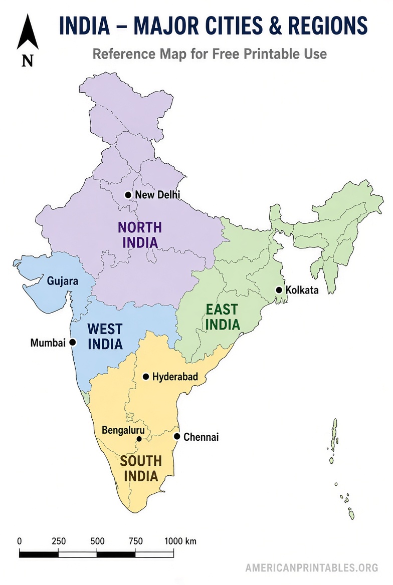
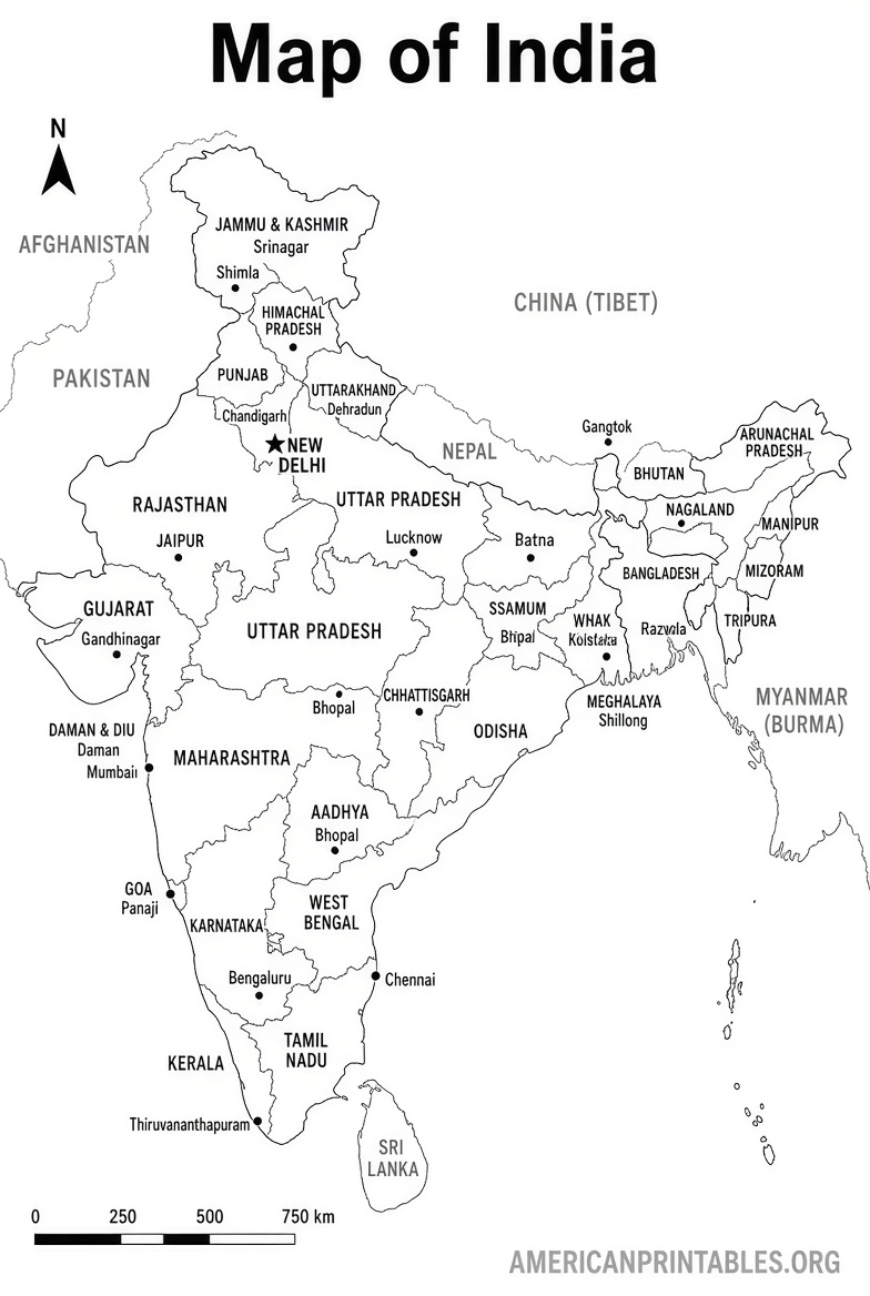
Tips for Printing and Using Your Map
Download the PDF when possible for sharp results. Open it in a free viewer such as Adobe Acrobat Reader or your browser, then select “Fit to page” or “Scale to fit” in the print dialog. Use letter-size paper and standard black ink for best clarity.
For classroom or homeschool use, print multiple blank copies for labeling practice and one labeled version as an answer key. Laminate a reference map if you plan repeated use. Vector files can be enlarged at a print shop for posters without quality loss.
Brief FAQ
Are these maps truly free?
Yes. The linked official and public-domain sources provide free downloads for personal and educational use.
Do they work with US Letter paper?
CIA maps are designed for 8.5 × 11 inches. Many others offer US Letter or A4 options that scale cleanly.
Can I use them commercially?
Public-domain maps (such as CIA and SimpleMapLab) generally allow broader use. Always review the specific license on the download page. Official Survey of India maps are primarily for educational purposes.
How current are the boundaries?
Official government and recent public-domain sources reflect current administrative divisions, including the 28 states and 8 union territories.
A free printable map of India is a practical, no-cost resource for learning and reference. Start with the official Survey of India outlines or the public-domain options above for accurate, ready-to-print files.