Free Printable Map of Italy PDF Downloads – Looking for a free printable map of Italy? Whether you’re a teacher preparing a geography lesson, a student working on a project, a homeschool parent, or a traveler planning a trip from the United States, a clear printable map of Italy makes learning and planning much easier.
This resource page points you to legitimate, currently available free downloads. All recommended maps support standard US Letter paper and require no payment or (in most cases) signup.
Why a Printable Map of Italy Is Useful?
Italy’s distinctive boot shape, 20 regions, major islands (Sicily and Sardinia), and location in the Mediterranean make it a frequent subject in US classrooms and travel research. A printable version lets you:
- Label regions, capitals, or cities by hand
- Color-code areas for study or trip planning
- Use as a classroom worksheet or quiz
- Mark places you’ve visited or want to visit
- Print multiple copies without restrictions
Blank outline maps work best for quizzes and coloring. Labeled region maps help with identification. Physical or administrative maps from official sources give reliable geographic context.
Trusted Free Printable Maps of Italy
Here are high-quality, legitimate options.
1. Official CIA Maps (Public Domain)
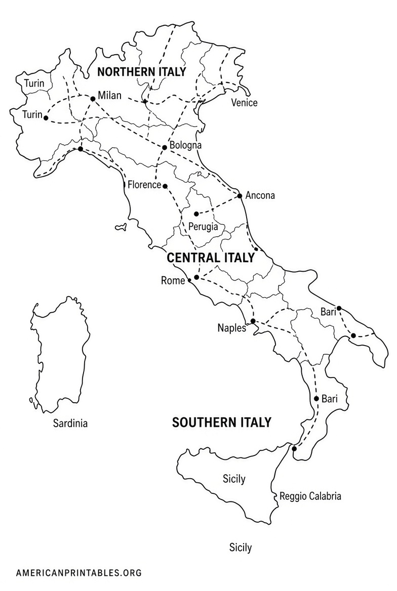
The CIA provides free base maps of Italy that print cleanly on 8.5″ × 11″ paper. Available versions include Administrative, Physiography, and Transportation maps (2005 editions). These are public domain, so you may copy and use them freely.
Download from the official CIA page:
CIA Italy Maps
2. SimpleMapLab – Blank, Labeled & Colored Variants
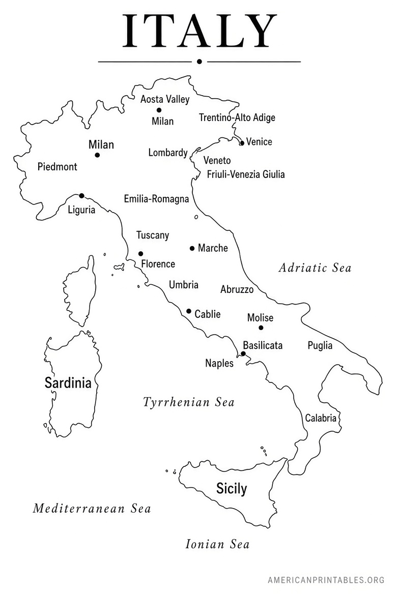
High-resolution public-domain maps (CC0) with blank outline, labeled, colored, and cities versions. Download as SVG, PNG, or PDF sized for US Letter. No watermark, no signup, and fully free for personal or commercial use. Ideal for worksheets and editing.
Get them here:
SimpleMapLab Blank Map of Italy
3. World Map Blank – Labeled Regions Map
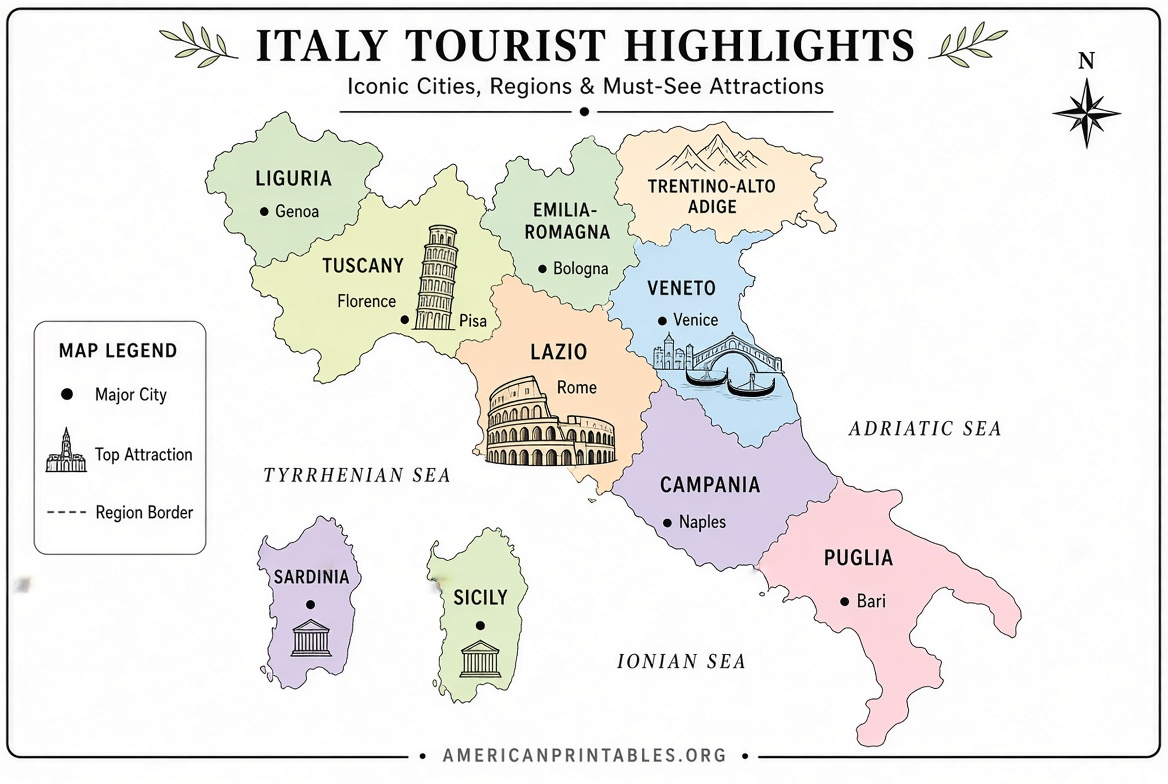
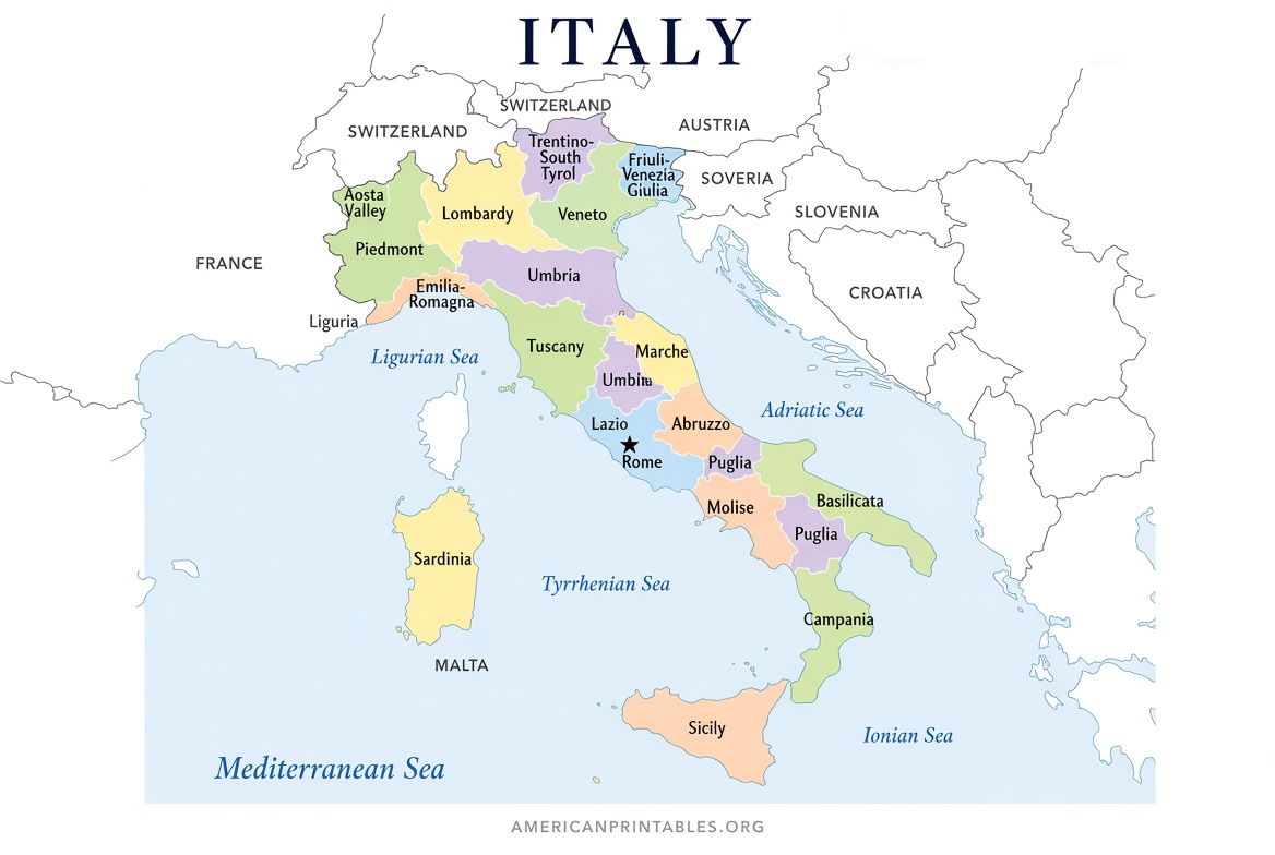
A clean, free printable map showing all 20 Italian regions (color-coded), surrounding seas, neighboring countries, north arrow, and scale bar. Available as PDF and JPEG, sized for A4/US Letter. Perfect for learning the regions. (Higher-detail versions with cities are paid; the basic labeled regions map is free with no signup.)
Download the free version:
Printable Map of Italy with Regions
4. Mom in Italy – Black & White and Color Versions
Straightforward free printable maps in both black-and-white and color, useful for trip planning, school projects, or wall display. Click the map images on the page to open high-quality PDFs.
Access the free maps:
Mom in Italy Printable Map of Italy
These four sources stay within reliable, current options and cover the most common needs (blank outlines, labeled regions, and official reference maps).
Free Printable Map of Italy PDF Downloads
Tips for Printing in the United States
- Choose “Fit to page” or “Scale to fit” in your print dialog for US Letter (8.5 × 11 inches).
- Prefer PDF or SVG files for sharp lines at any size.
- For classroom use, print the blank version for students and the labeled version as an answer key.
- Color printers work well for region-coded maps; black-and-white is fine for outlines and quizzes.
- Laminate or place in a sheet protector if you plan to write on the map repeatedly.
Quick Facts About Italy’s Geography (Helpful Context)
Italy has 20 regions. Five of them have special autonomous status: Aosta Valley, Trentino-Alto Adige/Südtirol, Friuli Venezia Giulia, Sicily, and Sardinia. Rome is the national capital (in the Lazio region). The country borders France, Switzerland, Austria, and Slovenia by land, plus the microstates of San Marino and Vatican City.
FAQ
Are these maps really free?
Yes. The linked resources offer free downloads as stated on their pages. Some sites also sell higher-resolution or multi-map bundles, but the core free options require no payment.
Can I use them for school or commercial projects?
CIA maps are public domain. SimpleMapLab maps are CC0 (public domain). Check individual site terms for any attribution preferences on other maps.
What size paper works best?
All recommended maps are designed or easily scaled for standard US Letter paper.
Where can I find a blank outline only?
SimpleMapLab and the blank versions on World Map Blank sites are excellent starting points.
A free printable map of Italy is one of the simplest tools for learning the country’s layout or planning your next adventure. Start with the official CIA maps for reference accuracy or SimpleMapLab for flexible blank and labeled versions, then print and use them right away.