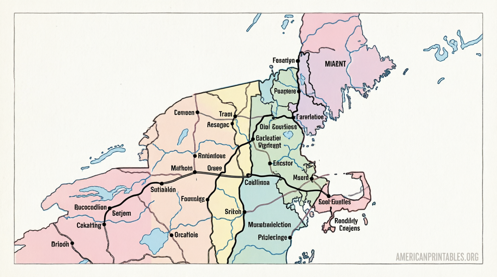
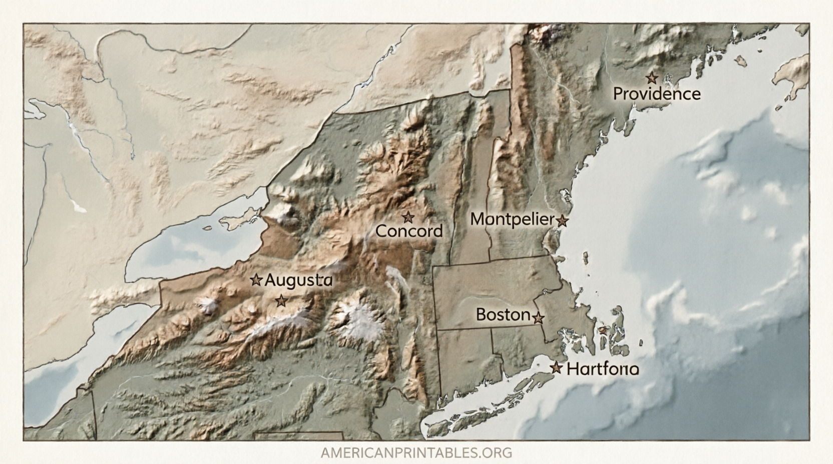
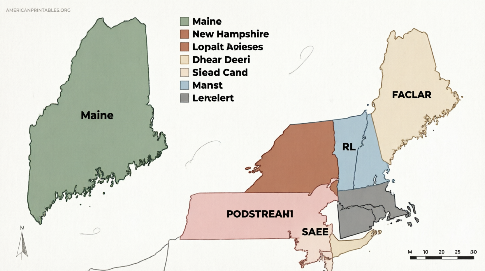
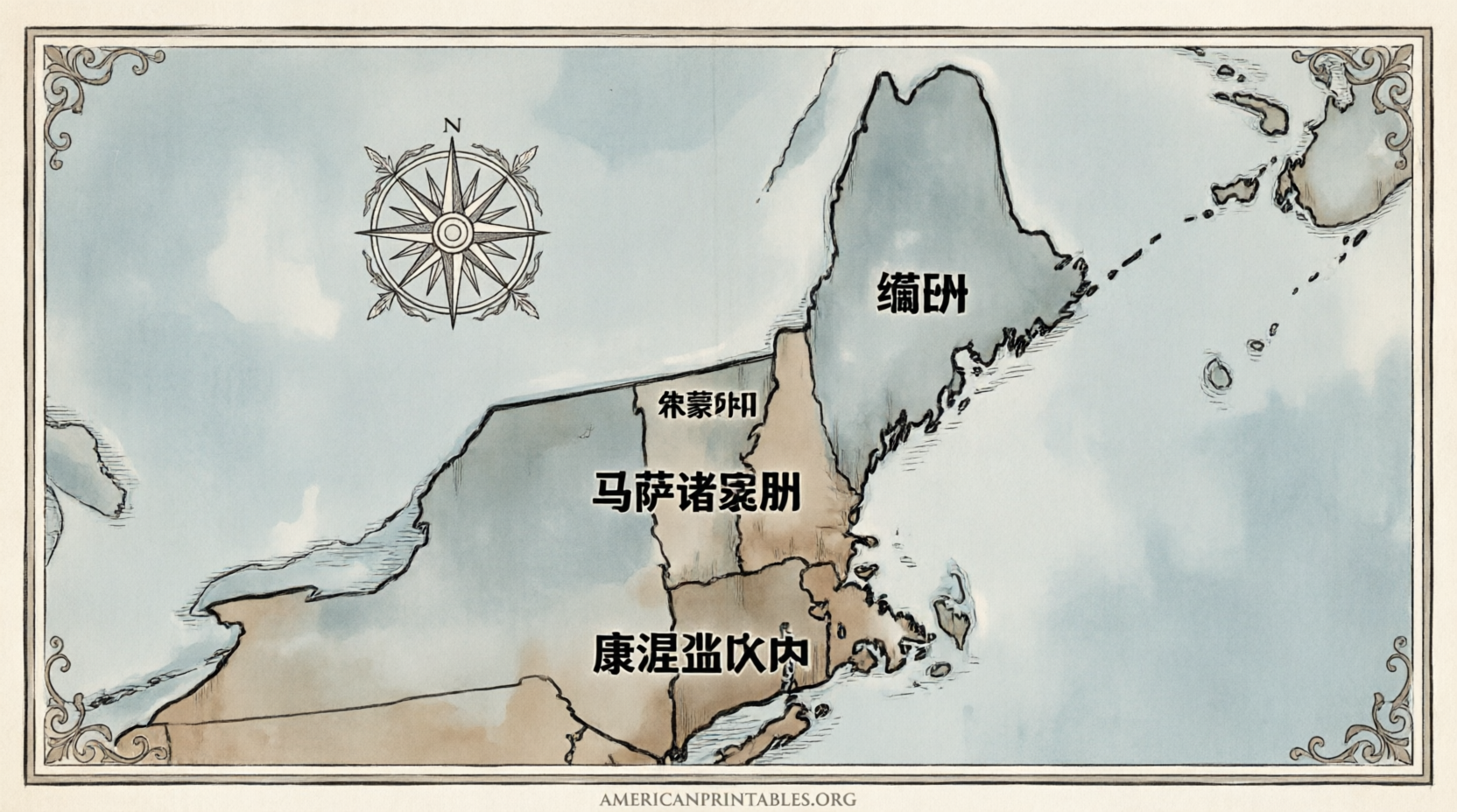
Free Printable Map of New England States (PDF) – Looking for a free printable map of New England states? Whether you need a blank outline for a classroom quiz, a labeled version for reference, or a clean PDF for trip planning, several reliable sources offer high-quality maps you can download and print right away. New England consists of six states in the northeastern United States: Maine, New Hampshire, Vermont, Massachusetts, Rhode Island, and Connecticut. These maps make it easy to study geography, label capitals, or mark travel routes without cost or complicated sign-ups.
What States Make Up New England?
New England is a distinct U.S. region known for its colonial history, rocky coastline, fall foliage, and strong cultural identity. The six states are:
- Maine – Capital: Augusta (largest by area)
- New Hampshire – Capital: Concord
- Vermont – Capital: Montpelier
- Massachusetts – Capital: Boston
- Rhode Island – Capital: Providence (smallest by area)
- Connecticut – Capital: Hartford
A good free printable map of New England states clearly shows these borders, often with options for blank outlines, labeled names, or extra details like major cities.
Best Places to Download Free Printable New England Maps
Here are trusted, current sources that provide legitimate free downloads. All links open in a new tab.
Ultimaps – Blank, Outline, and Labeled Versions
Ultimaps offers free print-ready PDFs in both US Letter and A4 sizes, plus high-resolution PNG and editable SVG files. You can choose a completely blank map, a simple outline, or a labeled version. These are free for personal, educational, and commercial use (with attribution).
Download free New England states maps (PDF, PNG, SVG)
Printable World Map – Free PDF Download
This site provides a straightforward free PDF map of the New England states (Maine, New Hampshire, Vermont, Massachusetts, Connecticut, and Rhode Island). It is designed for easy home or classroom printing.
Download free New England map PDF
Wikimedia Commons – Free SVG Map
For a clean vector version that scales without losing quality, the public Creative Commons-licensed SVG of the New England States is available. Ideal if you want to edit the map in design software or print at any size.
View and download New England States SVG
These sources prioritize accurate boundaries based on standard geographic data and do not require payment or registration for the basic free files.
Free Printable Map of New England States (PDF)
Practical Ways to Use a Free Printable Map of New England States
- Education and homeschooling: Print blank versions for students to label states, capitals, or major cities. Use labeled maps as answer keys or wall references.
- Travel planning: Mark scenic drives (such as the Kancamagus Highway), national parks, or fall foliage routes.
- Classroom activities: Color-code states, add rivers and mountains, or create quizzes on regional geography.
- Personal projects: Add family history notes, research locations, or create custom worksheets.
Print on standard US Letter paper for best results. Most PDFs are optimized for black-and-white or color printers and work well with ordinary home or school equipment.
Tips for Choosing and Printing the Right Map
Look for maps that match your needs:
- Blank or outline maps for labeling practice
- Labeled maps for quick reference
- Vector (SVG) files if you plan to resize or edit
Always check the license notes on the download page. Most free educational maps allow personal and classroom use; some request simple attribution for commercial projects. Avoid sites that bury free options behind paid bundles or require unnecessary personal information.
Frequently Asked Questions
Which states are included on a New England map?
Maine, New Hampshire, Vermont, Massachusetts, Rhode Island, and Connecticut.
Are these maps really free to print?
Yes. The sources listed above offer free PDF, PNG, or SVG downloads with no mandatory payment for the basic versions.
Can I use the maps for classroom or commercial projects?
Most allow personal and educational use. Commercial use often requires attribution (check each site’s license). Ultimaps, for example, permits commercial use with credit.
What paper size should I use?
US Letter (8.5 x 11 inches) works best for American printers. Many sites also offer A4.
A free printable map of New England states is a simple, useful tool for learning, teaching, or exploring the region. Start with the blank or labeled PDFs from the links above, print a few copies, and customize them for your needs.