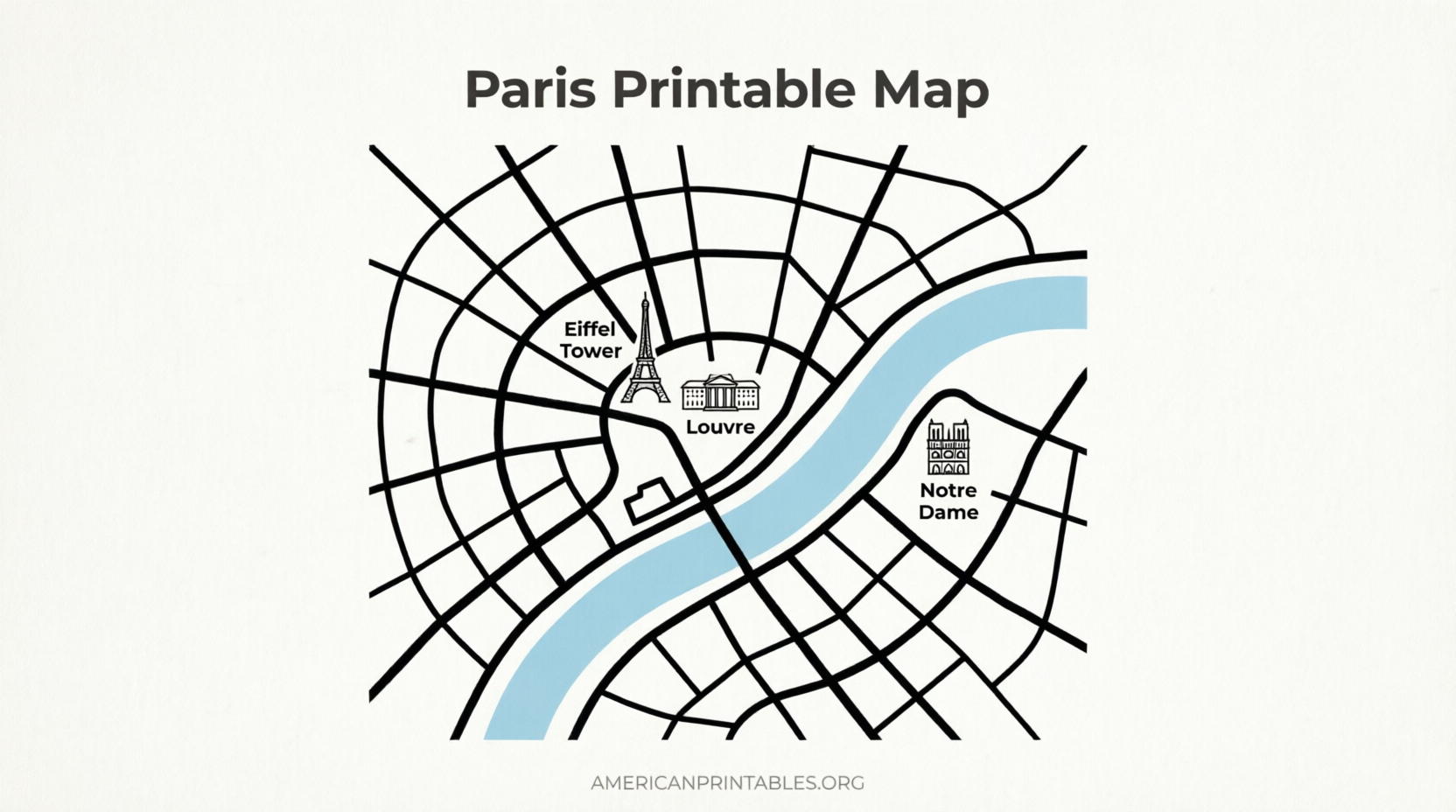
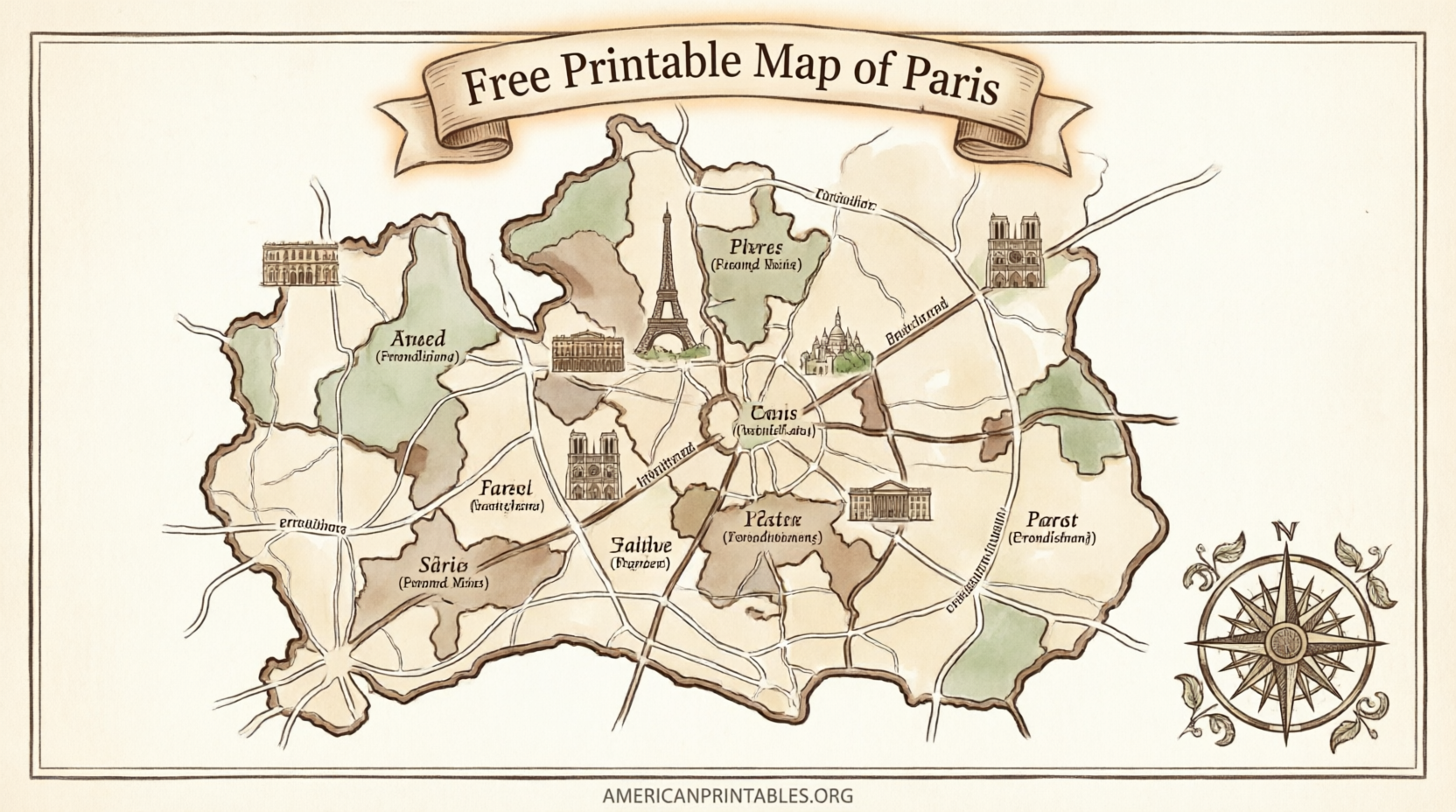
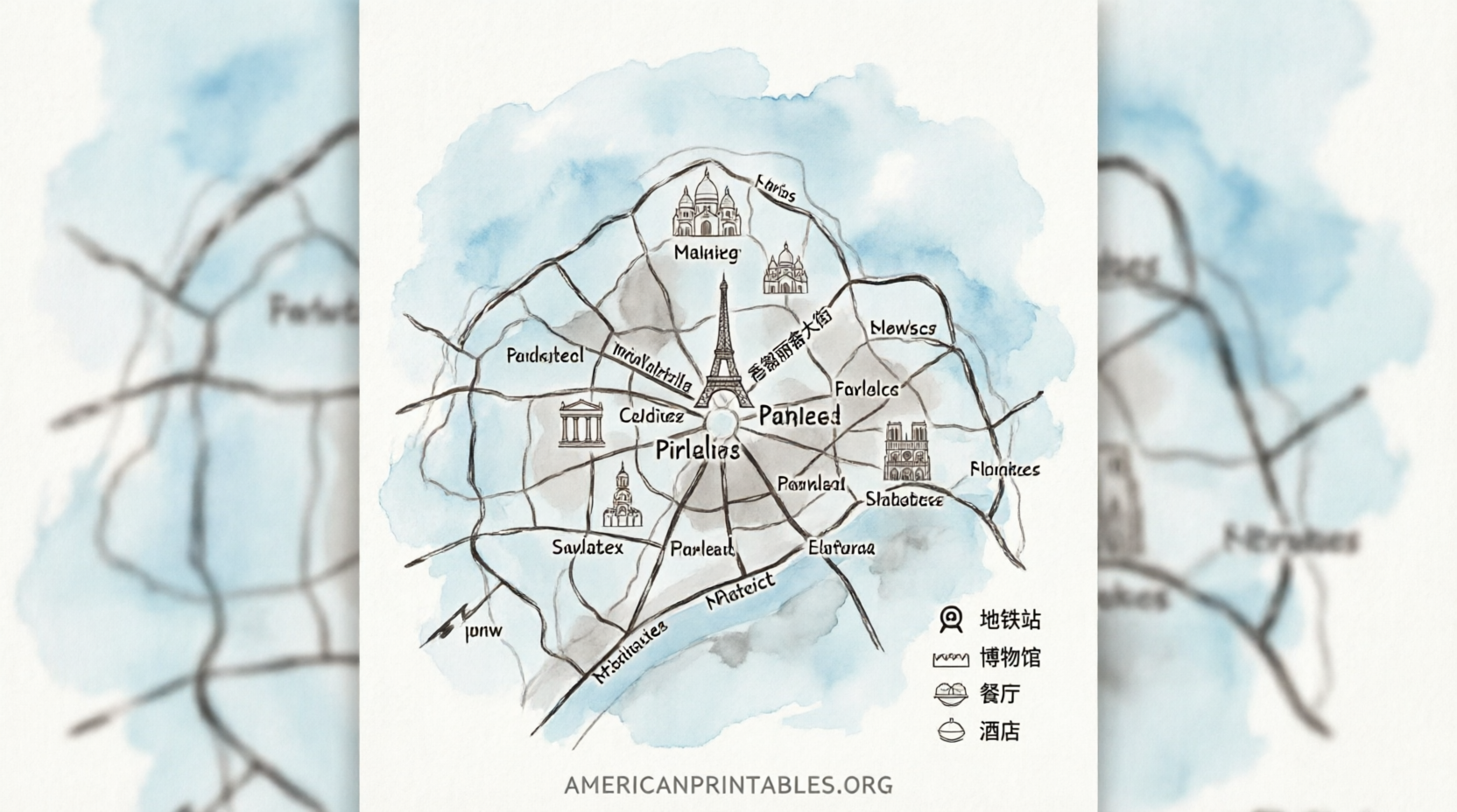
Free Printable Map of Paris – Looking for a free printable map of Paris? Whether you’re planning a first trip from the United States or need an offline guide for walking tours, a clear paper map remains one of the most practical tools for exploring the City of Light.
This resource page explains how to find legitimate free printable maps of Paris, what types are most useful for American travelers, and where to download them directly. All recommended sources are free for personal use and open in a new tab.
Why a Printable Map of Paris Still Matters?
Smartphone data can be unreliable or expensive abroad. A free printable map of Paris lets you navigate without Wi-Fi, mark attractions with a pen, and share the plan with travel companions.
Most free versions fit standard U.S. letter-size paper (8.5 × 11 inches), so you can print at home, a library, or a hotel business center. Look for maps that highlight major landmarks, the Seine River, arrondissements (the 20 numbered districts), and key Metro stations.
Best Free Printable Tourist Maps of Paris
One of the cleanest options is the high-resolution tourist map from Tripomatic. It numbers the top sights, works well offline, and is free to download and print under a Creative Commons license.
Download the free printable tourist map of Paris from Tripomatic
Another solid choice is the tourist attractions map available at Touristmaps.com. It offers free PDF, PNG, and JPEG downloads focused on major landmarks such as the Eiffel Tower, Louvre, Notre-Dame, and Sacré-Cœur.
Get the free Paris tourist map PDF from Touristmaps.com
For a wider selection of detailed city maps (including streets, parks, and sightseeing overlays), Ontheworldmap.com provides multiple free printable versions for personal and educational use. Attribution is required if you republish them.
Browse free printable Paris maps on Ontheworldmap.com
Free Printable Paris Metro and Transport Maps
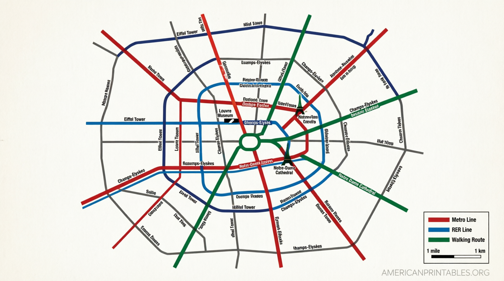
Getting around Paris is easiest by Metro, RER, and bus. Official maps from the RATP (Paris public transport authority) are free, accurate, and regularly updated.
Visit the official RATP plans page to download PDFs of the Metro, RER, tram, and bus networks.
Download official free RATP Paris transport maps
For a convenient English-friendly collection of the latest official Metro maps (including a pocket-sized printable version and a streets overlay), Paris by Train hosts current PDFs sourced from Île-de-France Mobilités and RATP.
Print free official Paris Metro maps from Paris by Train
Free Printable Map of Paris
Tips for Printing and Using Your Map
Print in color if possible—line colors on the Metro map are essential. Use heavier paper (24–32 lb) so the map holds up in a bag or pocket.
Mark your hotel or apartment first, then circle must-see spots such as the Louvre, Eiffel Tower, Musée d’Orsay, and Montmartre. Many free maps already label the arrondissements, which helps when reading addresses (for example, “7th arrondissement” near the Eiffel Tower).
Carry a small folded copy plus a digital backup on your phone. In 2026 the core central maps remain highly accurate for walking and short Metro rides.
FAQ
Are these maps really free?
Yes. The sources listed above offer free downloads for personal use. Always check the license note on the page if you plan to share or publish the map.
What size should I print?
Standard U.S. letter size works for most tourist and Metro maps. Some detailed city maps look better on larger paper if your printer supports it.
Do I still need a paper map if I have Google Maps?
Yes for reliability. Free printable maps of Paris work offline, never drain your battery, and help you understand the overall layout of the city faster than a zoomed-in phone screen.
Where can I get a paper map once I arrive in Paris?
Tourist offices (including those operated by Paris je t’aime) often hand out free paper maps. Having a printable version ready before you leave the U.S. saves time on arrival.
A free printable map of Paris is one of the simplest ways to feel oriented from the moment you step off the plane or train. Download one or two of the trusted options above, print them at home, and enjoy navigating the city with confidence.