Free Printable Map of Rome for Tourists – Planning a trip to Rome from the United States? A free printable map of Rome is one of the most practical tools you can pack. It works offline when your phone signal drops in ancient ruins or crowded piazzas, helps you plan walking routes between the Colosseum, Trevi Fountain, and Vatican, and saves data or battery on long sightseeing days.
This guide explains why a paper map still matters, points you to legitimate free downloads from trusted sources, and shares simple tips for using one effectively.
Why Get a Free Printable Map of Rome?
Rome’s historic center is compact and highly walkable, but the streets can feel maze-like, especially around the Roman Forum or Trastevere. Phone apps are excellent until the battery dies or you enter a museum with limited signal. A free printable map of Rome gives you a reliable backup.
Many visitors print one or two sheets before leaving the U.S.: one focused on major tourist attractions and another for the metro and buses. You can mark your hotel, preferred gelato stops, or must-see spots in advance.
Where to Download Free Printable Maps of Rome?
Here are reliable, currently available free resources. All offer direct downloads or high-resolution files ready to print at home on standard letter or A4 paper.
Official Rome Public Transport Maps
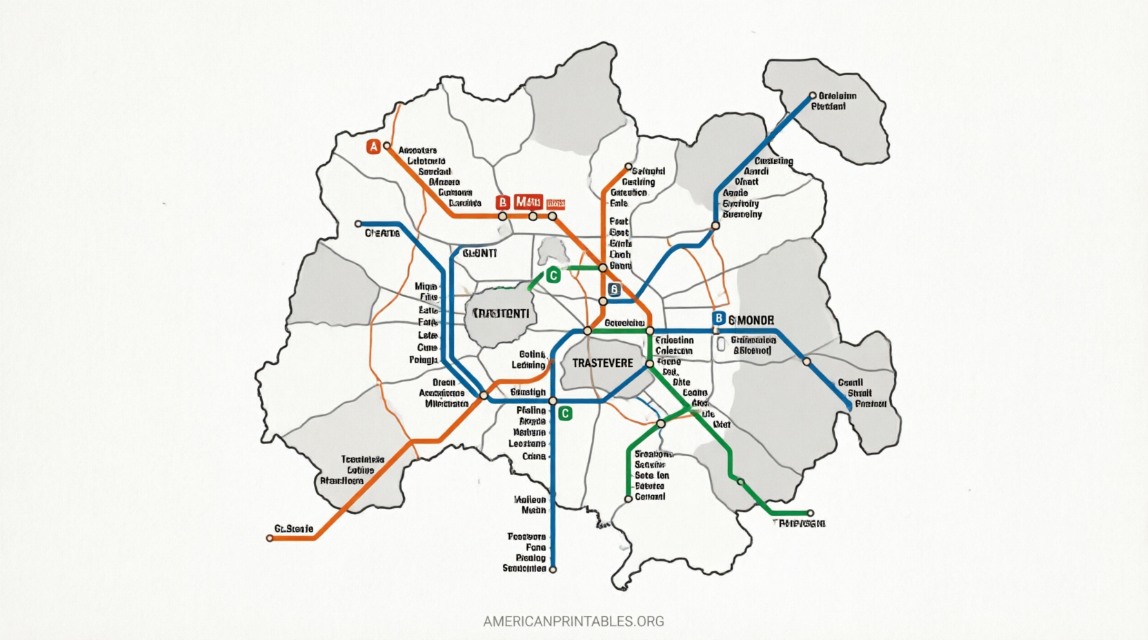
ATAC, Rome’s official public transport operator, provides free PDF maps of the city center, metro-rail network, tram lines, and more. These are the most authoritative sources for getting around by metro, bus, or tram.
Download them directly from the ATAC maps page:
ATAC Rome Public Transport Maps
Look for the “Rome – city centre,” “Urban metro-rail map,” and schematic metro line PDFs. They are updated regularly and ideal for U.S. travelers relying on public transit from Fiumicino or Ciampino airports.
Free Tourist Attraction Map
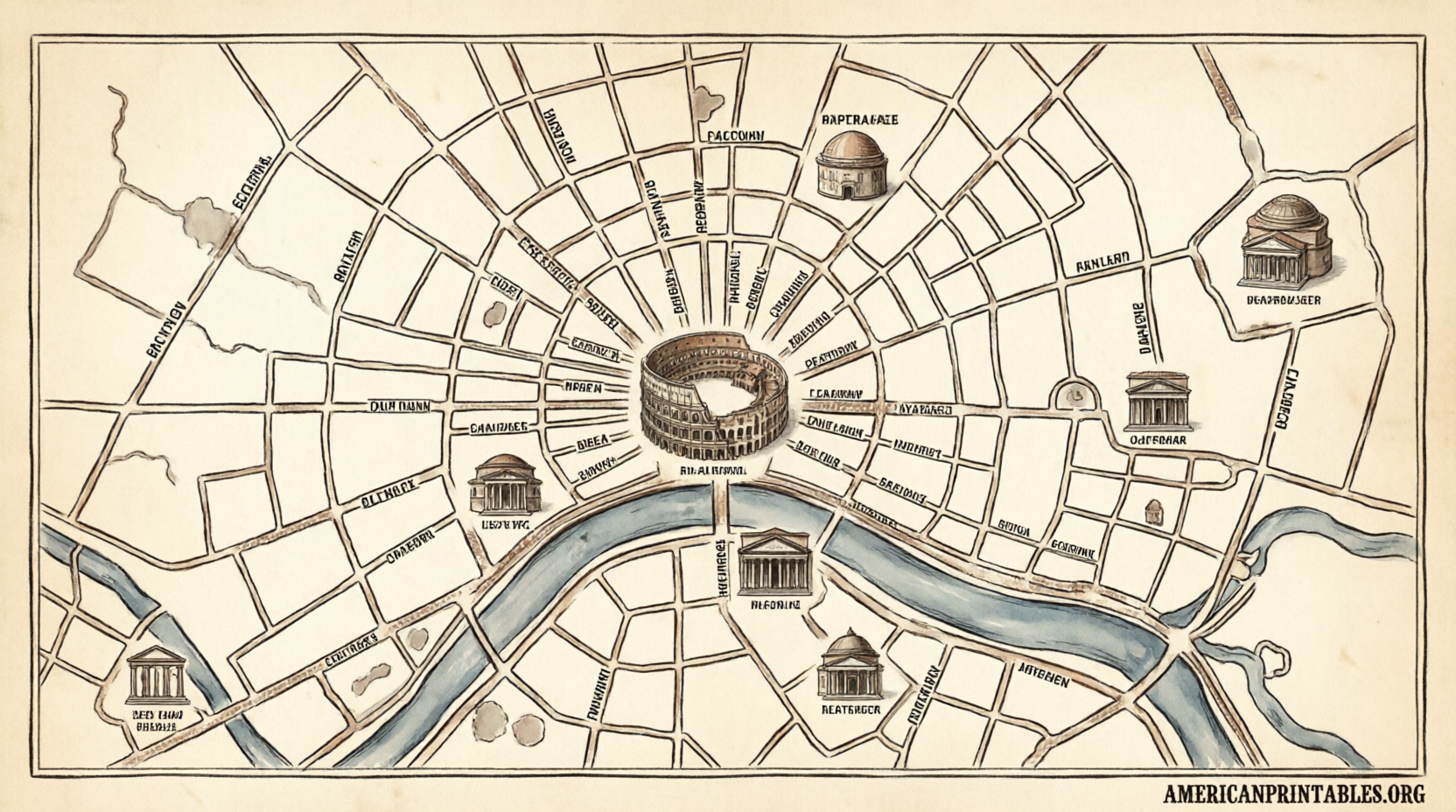
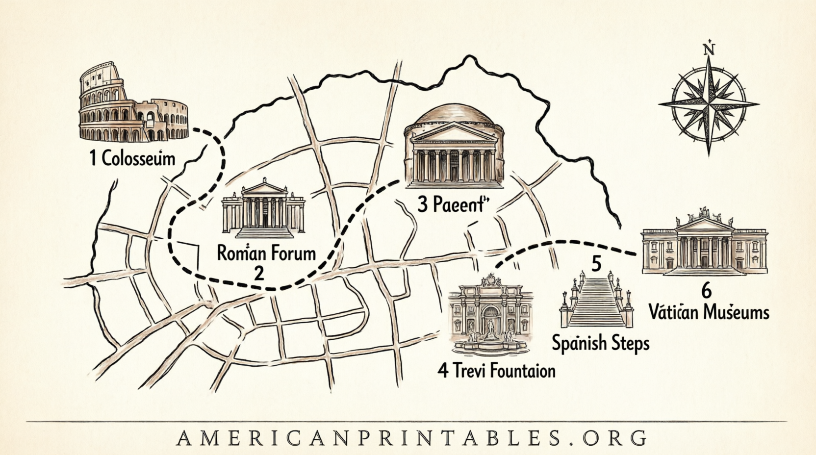
Touristmaps.com offers a clear, printable PDF highlighting Rome’s top landmarks, including the Colosseum, Pantheon, Spanish Steps, Trevi Fountain, and Vatican area. The map is free to download as PDF, PNG, or JPEG.
Get it here:
Tourist Map of Rome PDF Download
High-Resolution Printable Tourist Map
Tripomatic provides a free, numbered high-resolution tourist map of central Rome with major sights clearly marked. You can download the image or print it directly. The map is licensed for personal use under Creative Commons.
Access it at:
Tripomatic Free Printable Rome Map
Additional Free City Center and Metro Options
Romaturismo.info hosts free high-resolution PDFs of Rome’s city center (showing monuments and metro lines) and a dedicated underground map. These pair well with the official ATAC files.
Download from:
Romaturismo Free Rome City & Metro Maps
Stick to these sources. Avoid random image sites that may serve low-quality, outdated, or watermarked files, or that push paid upsells.
Free Printable Map of Rome for Tourists
How to Print and Use Your Rome Map?
- Download the PDF or image on a computer.
- Print at 100% scale on letter-size paper (or A4 if preferred). Color is helpful but not required.
- Consider laminating one copy or slipping it into a clear plastic sleeve for rain protection.
- Mark your hotel or apartment, key metro stops (Termini, Colosseo, Spagna, Ottaviano), and a simple daily itinerary.
- Carry a second digital copy on your phone as backup.
Many attractions cluster within a 1–2 mile radius of the historic center, so a detailed downtown map covers most first-time itineraries. Pair it with the metro map for longer trips, such as to the Vatican Museums or Appian Way.
Practical Tips for U.S. Travelers
- Print before you leave home. Hotel business centers or airport kiosks can be expensive or crowded.
- Note that Rome’s historic center is a limited-traffic zone (ZTL). Walking or public transit is usually easier than driving.
- Combine your free printable map of Rome with offline Google Maps or Citymapper for turn-by-turn help when signal allows.
- Update your knowledge of current metro hours and any temporary closures via the ATAC site before printing.
Frequently Asked Questions
Are these maps truly free?
Yes. The sources listed above provide free downloads with no payment or account required for the basic printable files.
Will a printable map work for the Vatican?
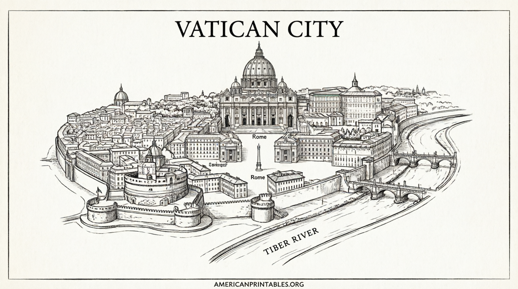
Most tourist maps mark St. Peter’s Basilica and the Vatican Museums area. For detailed museum layouts, check the official Vatican Museums website closer to your visit.
Is a paper map still useful with smartphones?
Absolutely. It serves as a reliable offline backup, helps with overall orientation, and reduces screen time so you can enjoy the city more.
How many maps should I print?
One tourist attractions map and one metro/transport map cover most needs.
A free printable map of Rome remains one of the simplest ways to explore the Eternal City with confidence. Download from the trusted links above, print a couple of copies, and enjoy your trip without constantly checking your phone. Safe travels!