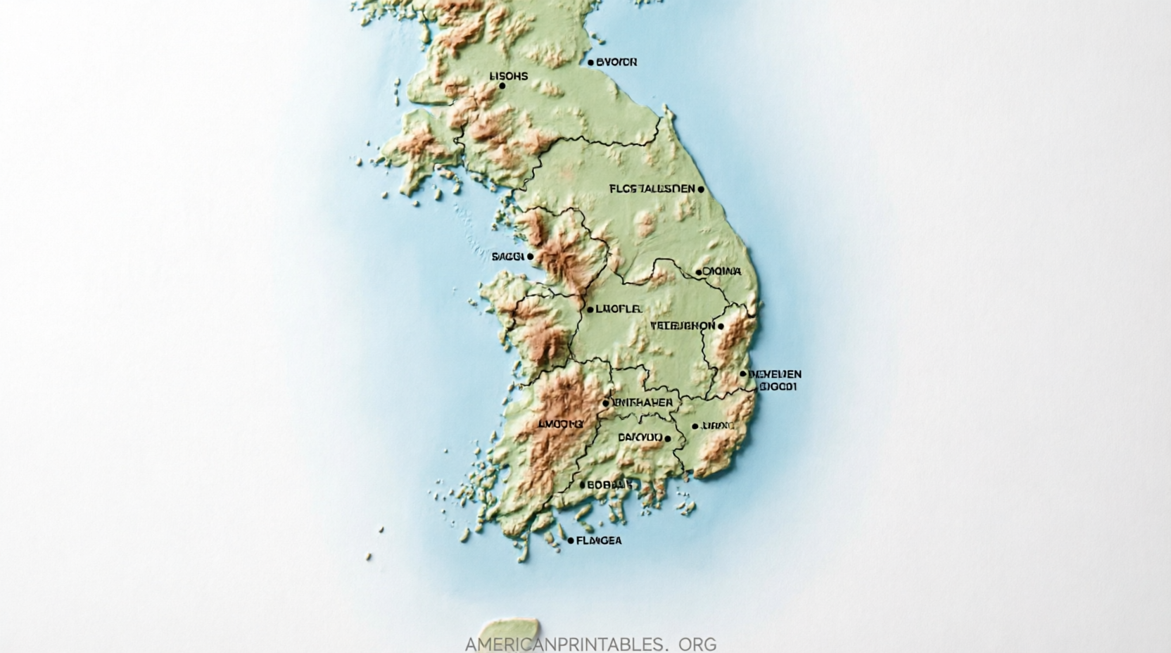
Free Printable Map of South Korea (Downloads) – Looking for a free printable map of South Korea? Whether you need an outline for a classroom worksheet, a labeled version for reference, an administrative map showing provinces, or a physiographic map of the Korean Peninsula’s terrain, several reliable sources offer high-quality options you can download and print at home on standard US Letter paper.
These maps suit teachers, students, homeschoolers, travelers planning a trip, or anyone wanting a clear visual of South Korea’s geography. Below you’ll find trusted, current sources with direct access to free printables—no paid subscriptions required for the resources listed.
Why Use a Free Printable Map of South Korea?
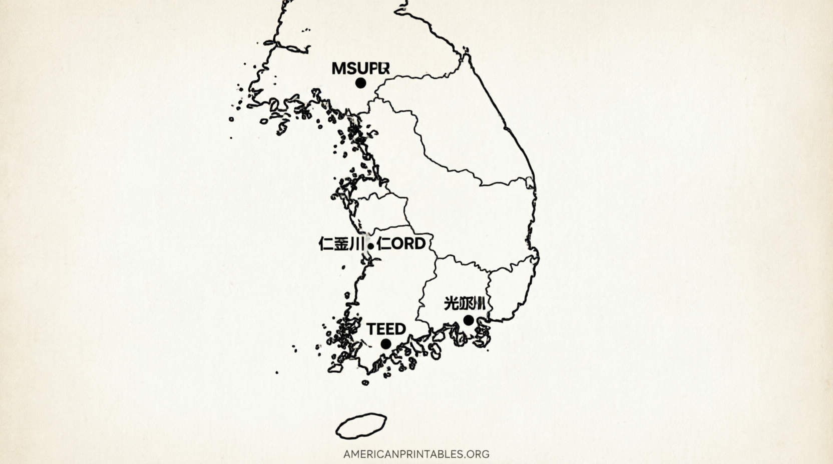
A printable map of South Korea helps with labeling provinces and major cities (Seoul, Busan, Incheon, Daegu, and others), studying physical features like mountains and rivers, understanding administrative divisions, or simply coloring and learning the country’s shape. South Korea occupies the southern half of the Korean Peninsula and includes Jeju Island. Official and public-domain maps keep the information accurate and free of watermarks or restrictive licenses in many cases.
US Letter (8.5″ × 11″) formatting is common, so most downloads print cleanly without special paper or software beyond a standard PDF or image viewer.
Official Public-Domain Maps from the CIA
The U.S. Central Intelligence Agency provides free, public-domain maps of South Korea that print directly on letter-size paper. Available versions include:
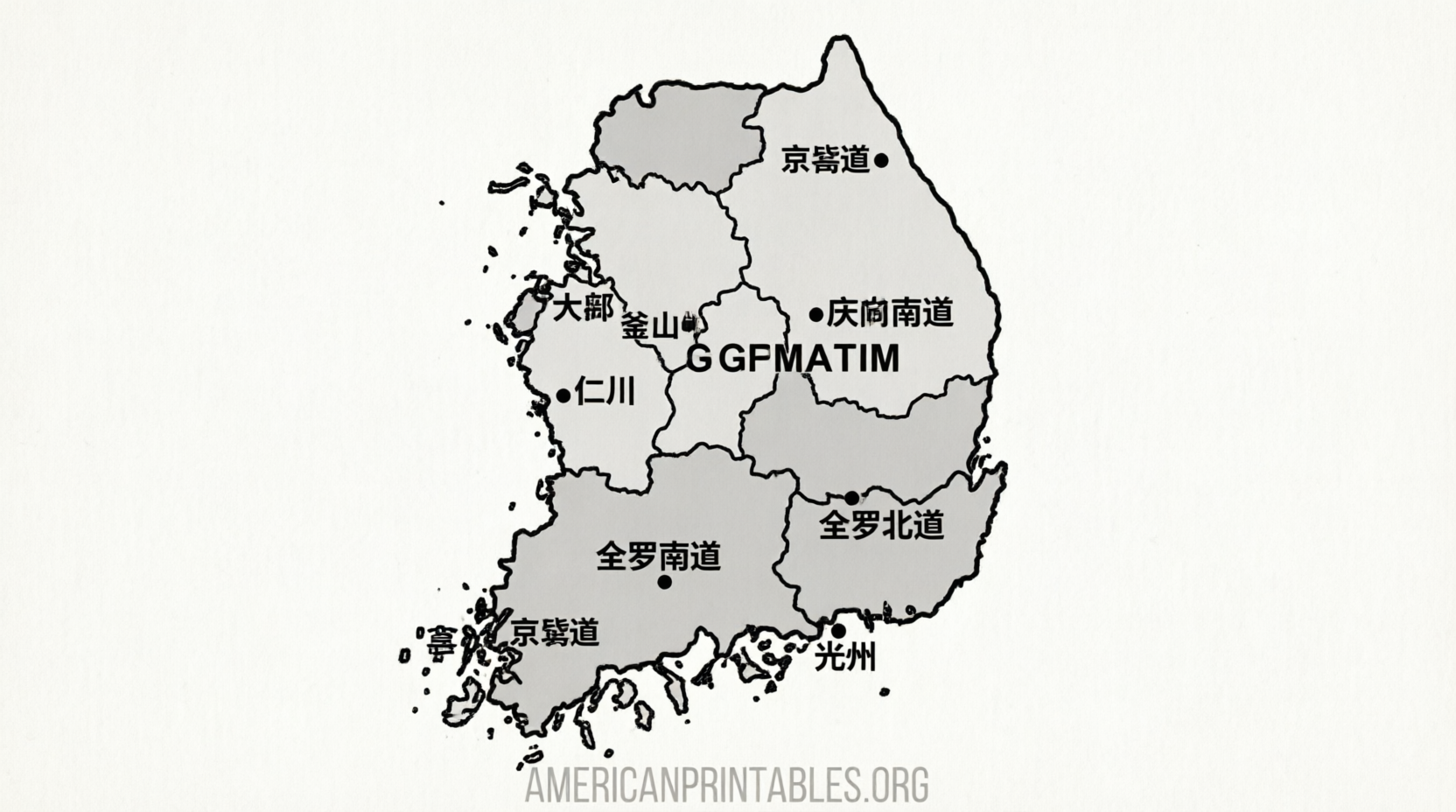
- Administrative map (showing provinces and major cities)
- Physiography map (terrain and physical features)
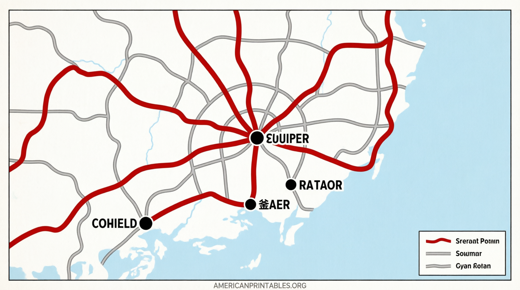
- Transportation map
These maps are explicitly in the public domain, so you may copy and use them freely. If you edit them, simply remove the map number in the corner.
Download them here:
CIA South Korea Maps
High-Quality Blank and Labeled Outline Maps
For classroom worksheets, coloring pages, or custom projects, blank and labeled outline maps work especially well. One excellent free source offers multiple variants (blank outline, labeled, colored, and with cities) in SVG, PNG, and PDF formats. Files are generated from public-domain boundary data, require no signup or attribution, and print cleanly at various sizes including US Letter.
Visit the download page:
SimpleMapLab Blank Map of South Korea
These are ideal when you want students to label provinces themselves and then check against a matching labeled version.
Free SVG Maps with Administrative Regions
If you need an editable vector map showing South Korea’s first-level administrative divisions (provinces and metropolitan cities such as Seoul, Busan, Gyeonggi, Gangwon, and Jeju), free SVG files are available. These load quickly, support commercial and personal use (attribution appreciated but not always required), and can be opened in design software or browsers for scaling without quality loss.
Get the maps here:
Simplemaps Free South Korea SVG
Official Korean National Maps and Atlas Resources
South Korea’s National Geographic Information Institute (NGII) publishes official maps and the National Atlas of Korea. English-language versions of the Map of Korea (1:1,200,000 scale) and related materials are available for free download in PDF and other formats. The National Atlas site also offers chapter PDFs and map downloads that serve as comprehensive reference resources.
Explore the official Map of Korea downloads:
NGII Map of Korea
And the National Atlas of Korea (free PDF sections):
National Atlas of Korea
These official sources provide authoritative, up-to-date geographic information suitable for educational and reference use.
Free Printable Map of South Korea (Downloads)
Tips for Printing and Using Your Free Printable Map of South Korea
- Prefer PDF or SVG files for sharp results at any scale.
- Choose “Fit to page” or “Scale to fit” in your print dialog for US Letter paper.
- Use blank outlines for quizzes and labeling activities; pair them with labeled versions as answer keys.
- For posters or larger formats, vector files (SVG/PDF) maintain quality.
- Always check the license note on each site—most listed here are public domain or free for personal/educational use.
These resources cover the most common needs: simple outlines, labeled provinces, physical features, and official reference maps.
Frequently Asked Questions
Are these maps really free to print and use?
Yes. The CIA maps are public domain. The blank/labeled outline and SVG maps listed are free to download with no signup and permissive licenses (public domain or free for personal/commercial use). Official NGII resources are provided for public download.
What size do they print best at?
Most are optimized for US Letter (8.5″ × 11″). Vector files scale well for larger posters if needed.
Can I use them in a classroom or for commercial projects?
Educational and personal use is unrestricted for the public-domain and free-license maps. Check individual site licenses for commercial redistribution; many allow it with or without attribution.
Do the maps include major cities and provinces?
Administrative and labeled versions typically show provinces/metropolitan cities and key cities such as Seoul and Busan. Blank outlines let you add the labels yourself.
A free printable map of South Korea is only a few clicks away from the trusted sources above. Choose the style that matches your project, download, and print—ready for learning, planning, or reference.