Free Printable Map of Spain – Download Now – Looking for a free printable map of Spain? Whether you need one for a school project, travel planning from the United States, classroom teaching, or personal reference, several trusted sources offer high-quality, downloadable maps at no cost.
Spain sits on the Iberian Peninsula in southwestern Europe. It includes the mainland, the Balearic Islands in the Mediterranean, the Canary Islands in the Atlantic, and the North African enclaves of Ceuta and Melilla. A good free printable map of Spain helps visualize its 17 autonomous communities, 50 provinces, major cities, roads, and physical features.
This page points you to legitimate free resources so you can download and print maps sized for standard U.S. letter paper (8.5 × 11 inches).
Types of Free Printable Maps of Spain
Different maps serve different purposes:
- Blank or outline maps – Clean borders only. Ideal for labeling autonomous communities, provinces, cities, or rivers during quizzes and homework.
- Political maps – Show administrative divisions (autonomous communities and provinces) with or without labels.
- Physical maps – Highlight mountains, rivers, and terrain.
- Transportation maps – Display major roads, high-speed rail, or other routes useful for trip planning.
Most free printable maps of Spain come as PDF or high-resolution JPEG files that print clearly at home or school.
Where to Get Free Printable Maps of Spain?
Here are reliable, currently available sources. All offer free downloads for personal or educational use. Always check the license or terms on the page before commercial use.
Official CIA Maps (Public Domain)
The U.S. Central Intelligence Agency provides free, public-domain maps of Spain designed to print on standard 8.5 × 11-inch paper. Options include an administrative map, a physiography (physical) map, and a transportation map. You may copy and use them freely.
Download free CIA maps of Spain
Mapswire Free Maps
Mapswire offers physical maps, blank physical maps, and printable versions of Spain under a Creative Commons (CC-BY 4.0) license. Files are high-resolution and ready to download.
Get free Mapswire maps of Spain
Mappr Blank Maps
Mappr provides free printable blank outline maps of Spain, versions with autonomous community borders, labeled reference maps, and province-level maps. PDFs are formatted for A4 or U.S. letter paper and work well for classroom quizzes.
Download free blank maps of Spain from Mappr
World Map Blank Outline Maps
World Map Blank supplies free printable outline and blank maps of Spain in PDF format (A4 and A5 sizes). These are straightforward for coloring, labeling, or travel tracking.
Print free blank maps of Spain
These four sources cover the most useful free printable map of Spain options without requiring payment or registration in most cases.
Free Printable Map of Spain – Download Now
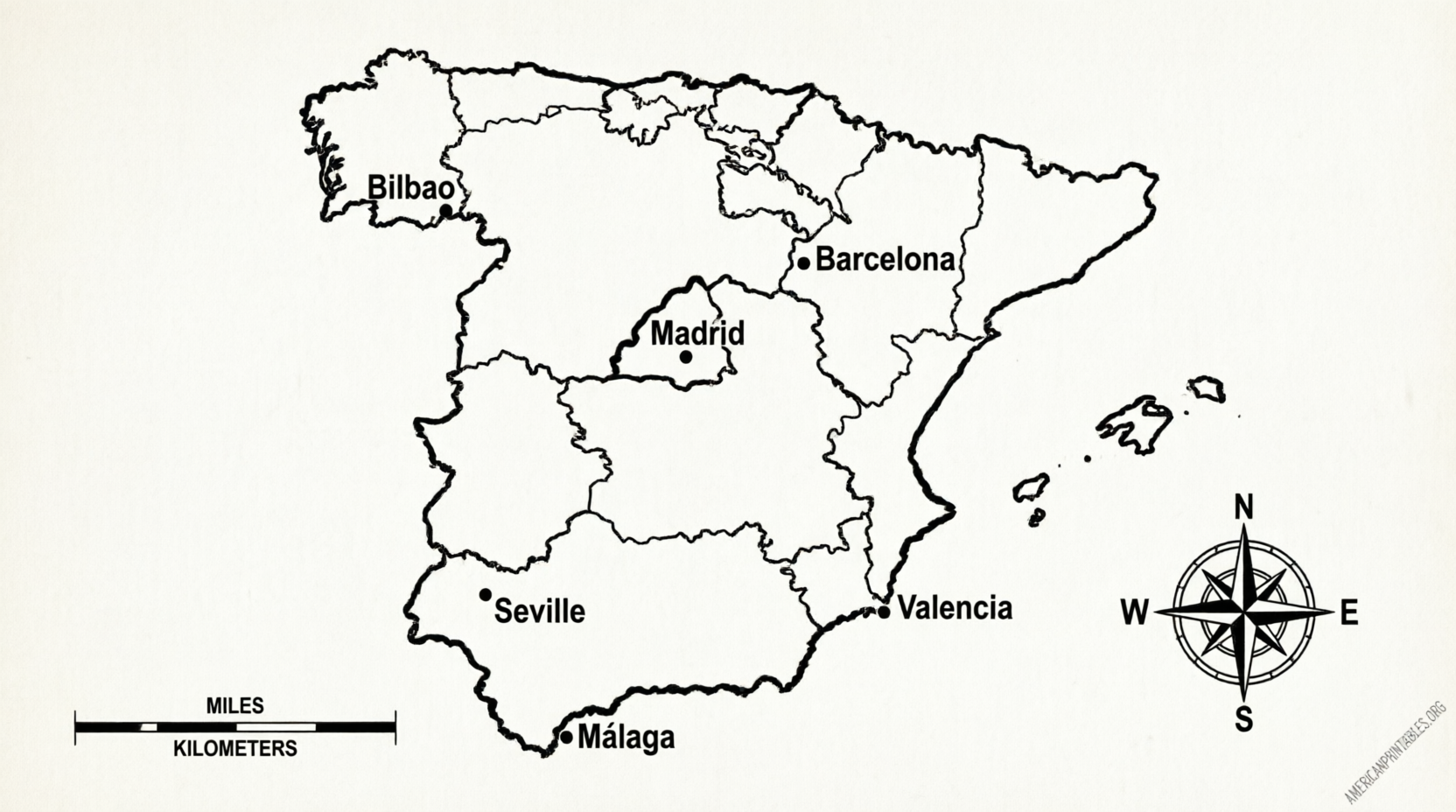
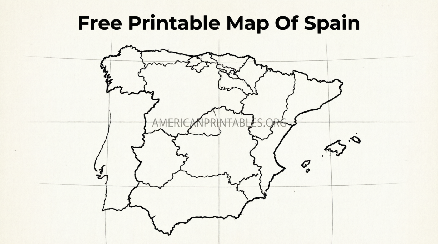
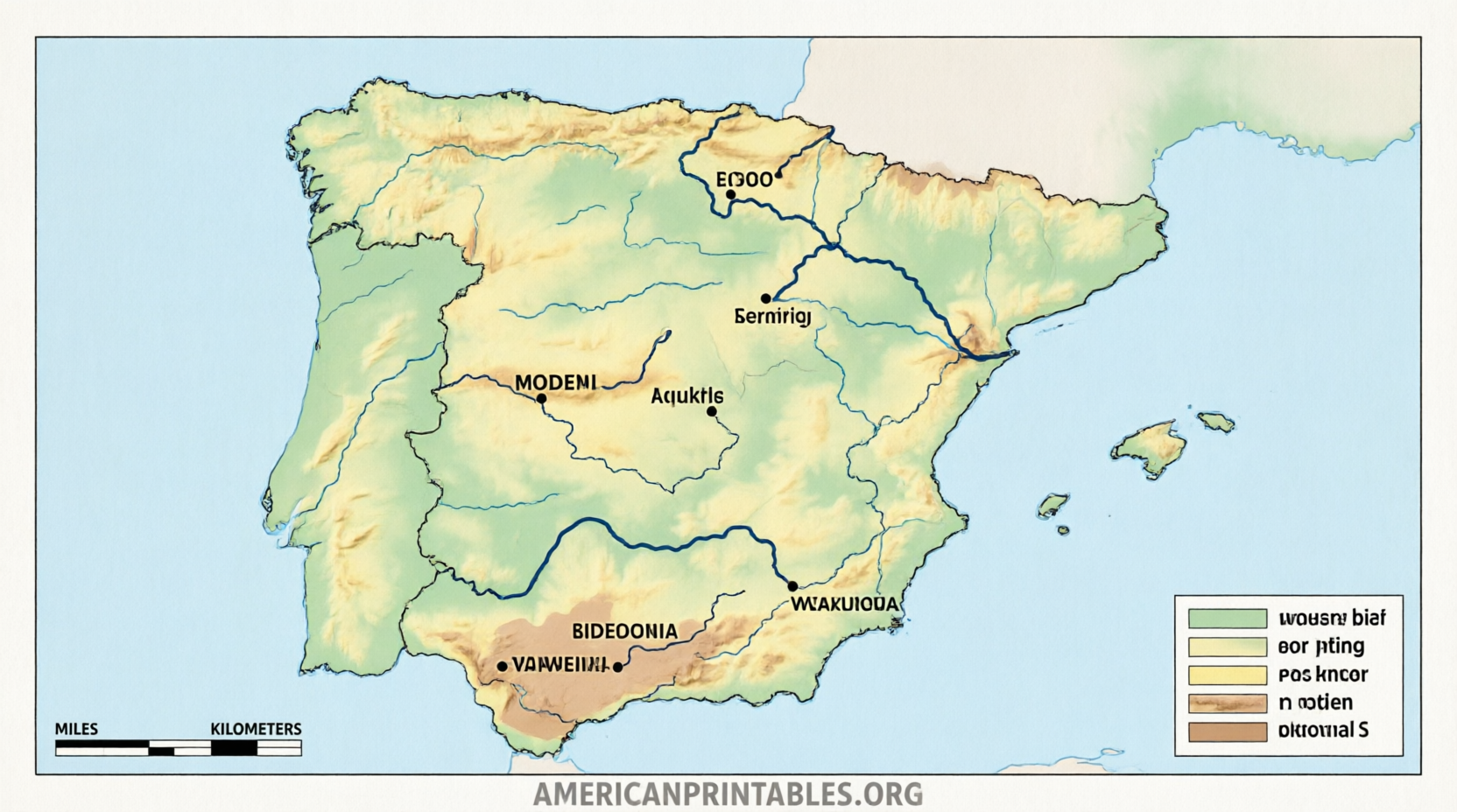
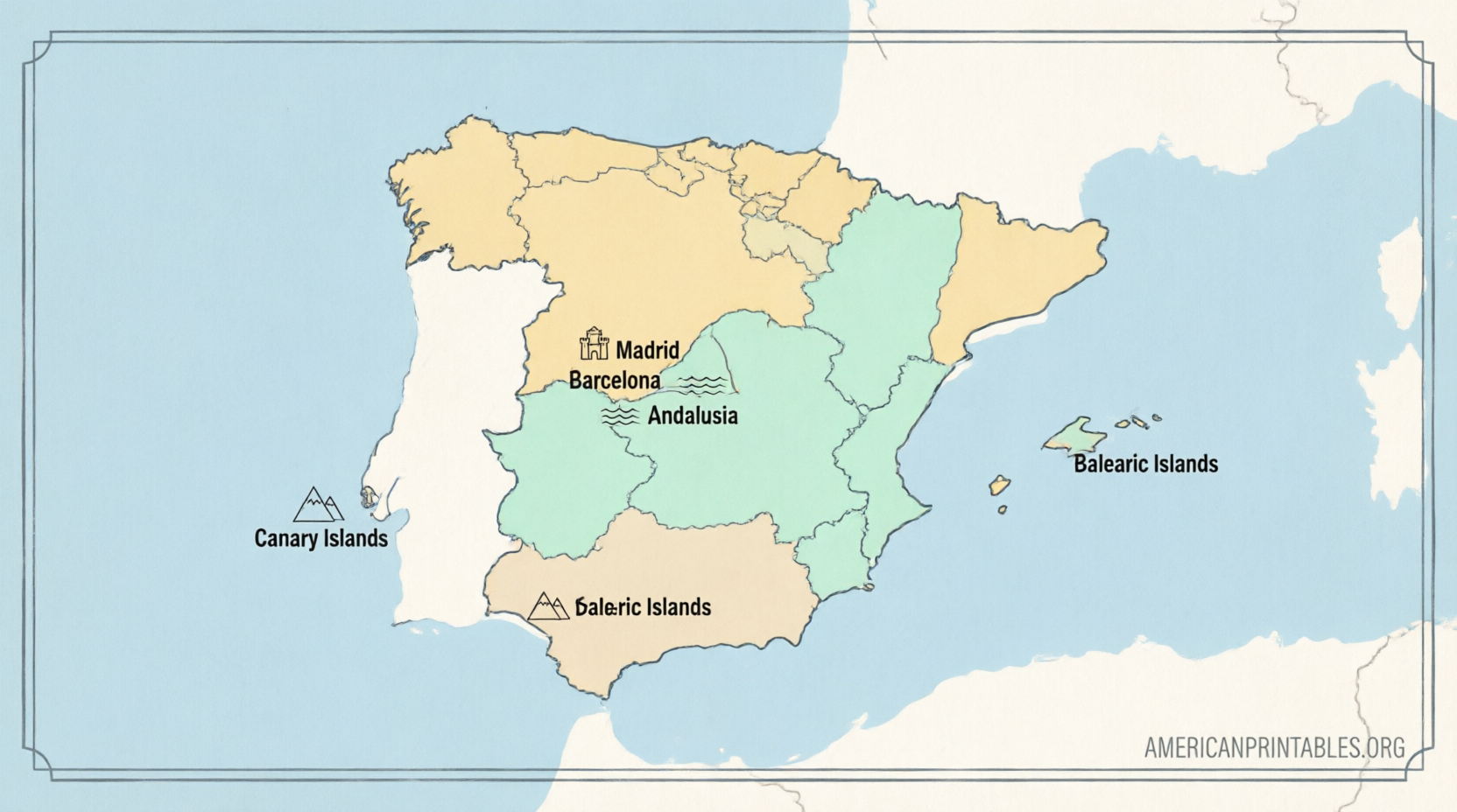
How to Download and Print Your Map?
- Visit one of the linked pages above.
- Click the download button or link for the map you want (PDF or JPEG).
- Open the file on your computer or device.
- In your printer settings, choose letter size (8.5 × 11 inches), portrait or landscape orientation as needed, and “fit to page” or 100% scale.
- Print a test page first to check margins and clarity.
Tips for best results: Use regular printer paper for practice maps or thicker paper for wall displays. Black-and-white versions save ink; color versions work well for presentations.
Practical Uses for Americans
- School and homeschool – Label regions for geography lessons or quizzes.
- Travel planning – Mark routes for a future trip to Madrid, Barcelona, Andalusia, or the Camino de Santiago.
- Classroom teaching – Hand out blank maps so students can fill in autonomous communities or major cities.
- Personal reference – Keep a printed map for quick orientation while learning Spanish history or culture.
Spain’s autonomous communities include Andalusia, Catalonia, Madrid, Galicia, the Basque Country, and others. A clear free printable map of Spain makes these divisions easy to see.
Frequently Asked Questions
Are these maps really free?
Yes. The CIA maps are public domain. Mapswire uses a Creative Commons license. Mappr and World Map Blank offer free personal and classroom downloads. Always review the specific page for any attribution requirements.
What paper size should I use in the U.S.?
Standard letter size (8.5 × 11 inches) works best. Many sites also support A4, which is close in size.
Can I use the maps for commercial projects?
Public-domain CIA maps generally allow broad use. Other sites may require attribution or limit commercial redistribution. Check each source’s terms.
Do the maps include the Canary Islands and Balearic Islands?
Most good free printable maps of Spain show the mainland plus the island groups, either inset or fully included.
A free printable map of Spain is a simple, practical tool for learning, teaching, or planning. Start with the official CIA maps for authoritative detail, then explore the blank versions for interactive use. Download, print, and start exploring Spain’s geography today.