Free Printable Map of Tennessee Counties – Looking for a printable map of TN counties? Tennessee has 95 counties, and a clear, accurate county map is useful for school projects, travel planning, genealogy research, real estate, classroom lessons, or simply learning the state’s geography.
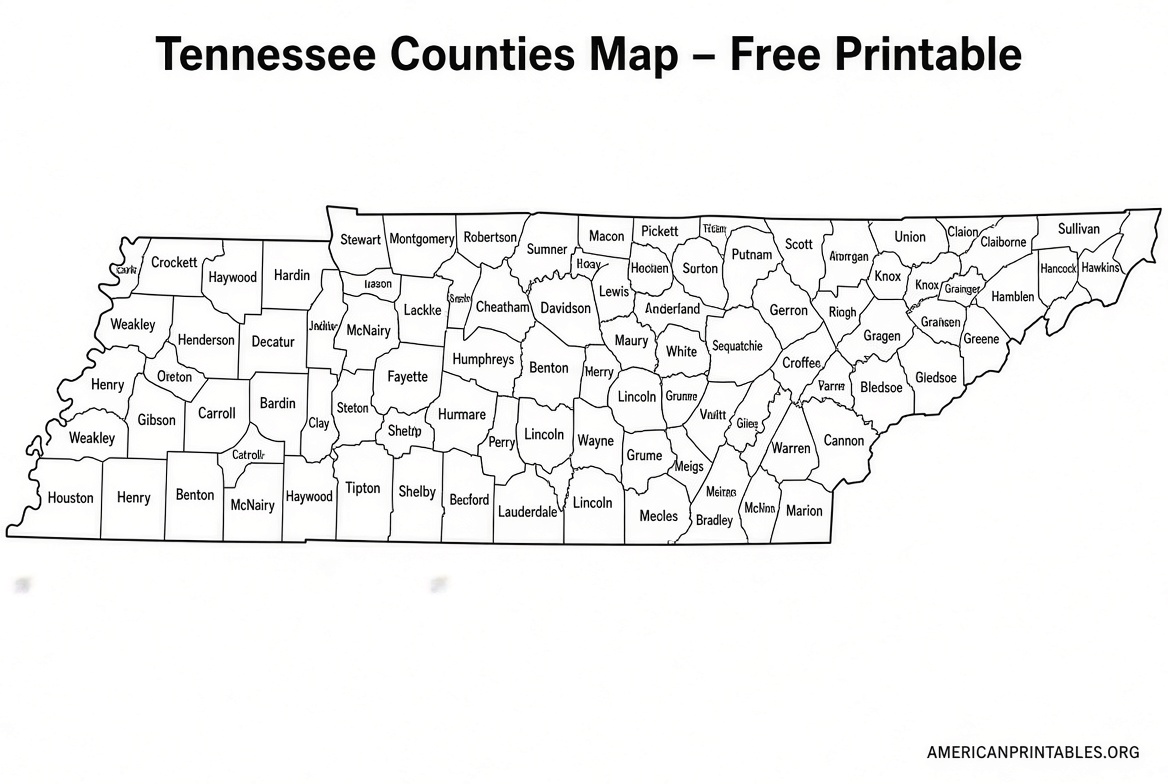
A good printable map of Tennessee counties shows county boundaries, often with names labeled, and is designed for standard letter-size paper so you can download and print it at home.
Why Use a Printable Map of Tennessee Counties?
Tennessee stretches from the Mississippi River in the west to the Appalachian Mountains in the east. Its 95 counties vary widely in size and population—Shelby County (home to Memphis) is the most populous, while smaller rural counties are found in the middle and eastern parts of the state.
A printable county map helps you:
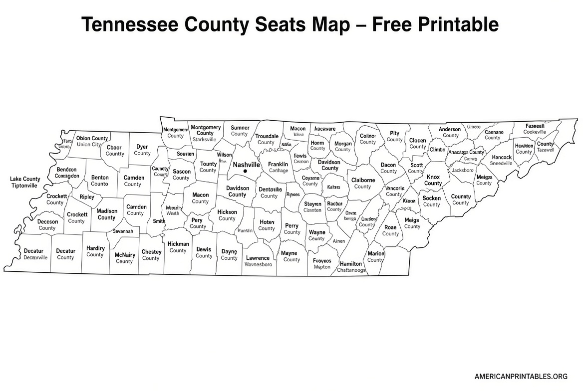
- Identify county seats and boundaries at a glance
- Track family history or property locations
- Plan road trips or understand regional differences
- Support educational activities for students
Official and free resources from trusted sources ensure the maps reflect current boundaries.
Best Free Printable Maps of TN Counties
Here are reliable places to download free, legitimate printable maps. Always use the official or well-established sources below—these are free for personal, educational, or non-commercial use.
1. Tennessee Department of Transportation (TDOT) Official County Outline Map
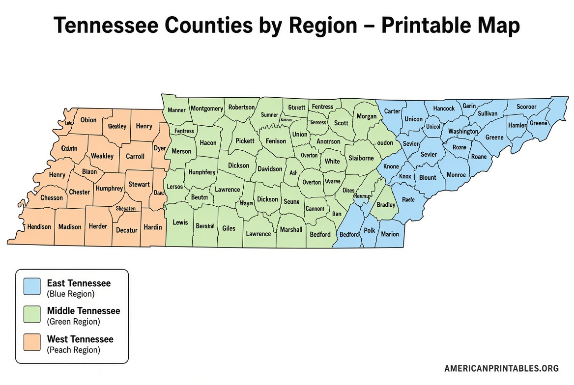
TDOT provides an official county outline map that divides the state’s 95 counties into four regions. The page includes a downloadable PDF of the map along with an alphabetical list of all counties.
Visit the official page to view and download:
TDOT County Outline Map
2. TDOT Individual County Maps
For more detailed views, TDOT offers PDF maps of each of the 95 counties. These are generated from official digital files and are available for private use by the public.
Access the full collection here:
TDOT County Maps (PDFs)
3. Free Printable Tennessee County Maps (Labeled, Blank, and Colored Options)
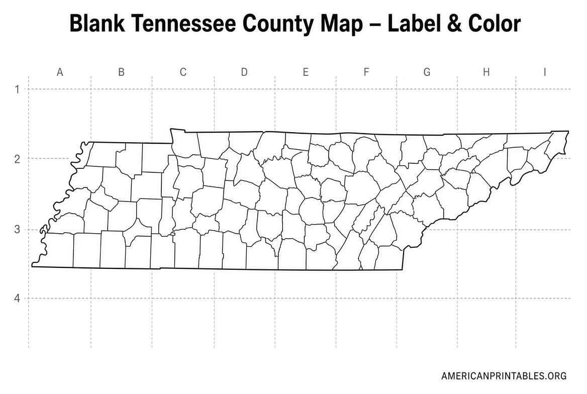
Suncatcher Studio offers free printable Tennessee county maps that include multi-colored versions, maps with county lines and names, and blank outline versions. All 95 counties are covered, and the files are designed for easy home printing.
Download the free maps here:
Suncatcher Studio Tennessee County Maps
4. Editable & Printable Tennessee County Maps
VectorDad provides free downloadable maps in SVG, PDF, PNG, and JPG formats. Options include multi-colored maps, labeled versions with all 95 county names, blank colored maps, and simple outlines. These are print-ready for letter or A4 paper and can be customized.
Get the free downloads here:
VectorDad Tennessee County Map
These four sources prioritize official government data and free, high-quality printables. Avoid sites that require payment or claim free maps but lead to paid downloads.
Free Printable Map of Tennessee Counties
Tips for Printing Your Map of TN Counties
- Use letter-size (8.5 x 11 inch) paper for the best fit.
- Choose “Fit to page” or “Actual size” in your printer settings depending on the file.
- Print in color if you want the multi-colored versions, or black-and-white for simple outlines.
- For classroom or display use, consider printing on cardstock or enlarging to poster size if your printer allows.
- Blank versions work well for labeling activities or coloring projects.
Frequently Asked Questions
How many counties does Tennessee have?
Tennessee has 95 counties.
Are these maps free to download and print?
Yes. The TDOT resources, Suncatcher Studio maps, and VectorDad maps listed above are free for personal and educational use. Always check the individual site’s terms for commercial use.
Do the maps include county seats or cities?
Official TDOT maps focus on county boundaries and regions. Some third-party free printables label county names; others are blank so you can add details yourself.
Where can I find the most accurate official map?
Start with the Tennessee Department of Transportation pages linked above for the most authoritative current maps.
A clear printable map of TN counties makes it easy to explore Tennessee’s geography whether you’re a student, traveler, researcher, or resident. Download one of the free official or high-quality resources above, print it out, and start using it right away.