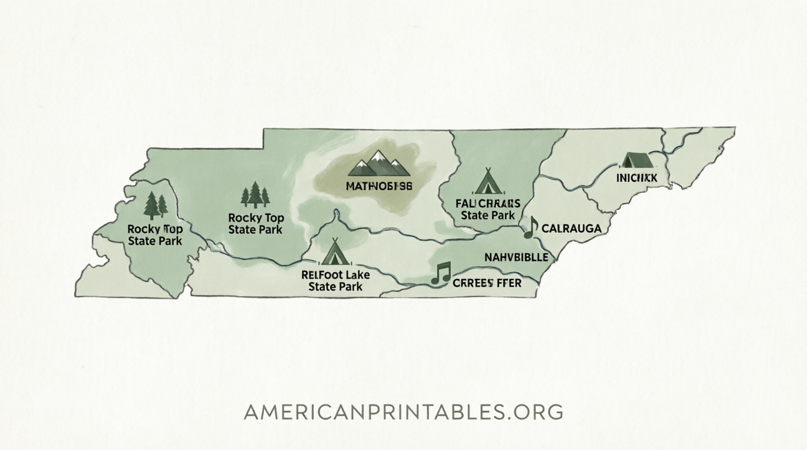
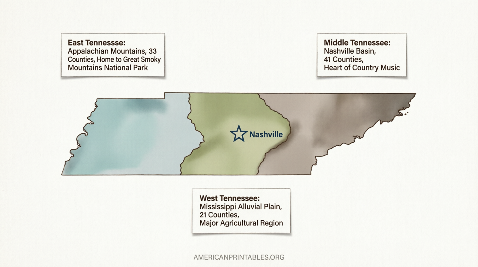
Free Printable Map of Tennessee – Official Downloads – Looking for a free printable map of Tennessee? Whether you need one for a school project, homeschool lesson, travel planning, or classroom activity, high-quality options are available from trusted sources. Tennessee, the Volunteer State, features 95 counties, major cities like Nashville, Memphis, and Knoxville, and distinct regions from the Appalachian Mountains in the east to the Mississippi River in the west.
This guide points you to legitimate, no-cost printable maps you can download and print at home on standard letter-size paper.
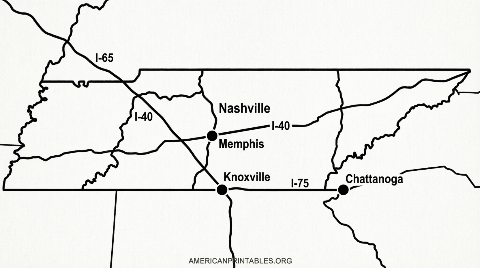
Official Tennessee Transportation Map from TDOT
The most authoritative source is the Tennessee Department of Transportation (TDOT). Their official state maps show highways, cities, counties, and major roads with current data.
Download the latest free 2025 Official Transportation Map (PDF) directly from the TDOT website:
2025 Official Transportation Map PDF
You can also browse older transportation and tourism maps on the official TDOT state maps page:
TDOT Official State Maps
These government-issued PDFs are ideal for accurate road and tourism planning.
Free Blank and County Maps for Education
Teachers, students, and homeschoolers often need blank outline maps or county maps for labeling and quizzes.
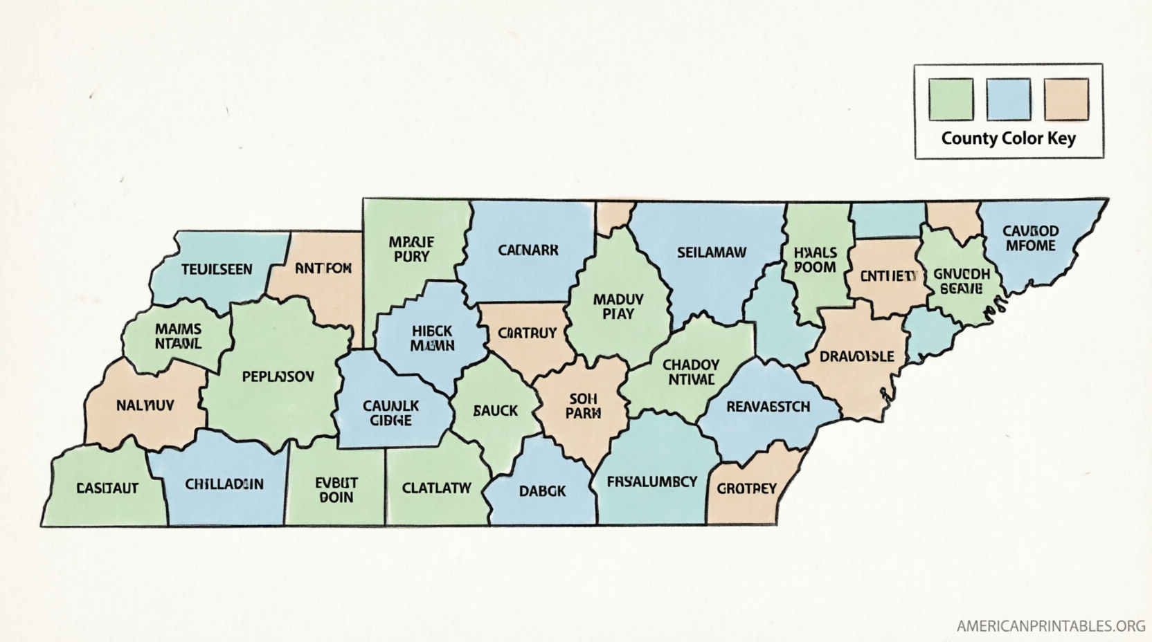
Mappr offers clean, free printable blank maps of Tennessee, including a simple state outline, blank county borders, labeled counties, colored counties, and practice maps. All are free for personal and classroom use and print well on letter or A4 paper:
Free Tennessee Blank Maps on Mappr
Another reliable option is 50states.com, which provides a simple printable outline of Tennessee perfect for geography identification activities:
Printable Tennessee Map on 50states.com
Maps with Cities, Counties, and Outlines
For maps that include cities, county names, or blank versions ready for labeling, Waterproof Paper offers a free collection of printable Tennessee maps. Options include county maps with names, city maps, blank county maps, and a basic state outline:
Printable Tennessee Maps Collection
These download as easy-to-print files suitable for classroom use or personal reference.
Free Printable Map of Tennessee – Official Downloads
Tips for Printing Your Tennessee Map
- Use standard U.S. Letter (8.5″ × 11″) paper in landscape orientation for best results.
- Choose “Fit to page” or 100% scale in your printer settings to avoid cropping.
- For classroom sets, print in black-and-white to save ink, or use color for visual learning.
- Laminate finished maps if you want reusable versions for repeated labeling practice.
Why Use a Free Printable Map of Tennessee?
A free printable map of Tennessee supports many everyday needs:
- Learning the 95 counties and three grand divisions (East, Middle, and West Tennessee)
- Locating Nashville (state capital), Memphis, Knoxville, Chattanooga, and other cities
- Planning road trips along interstates or scenic routes
- Completing geography worksheets or state reports
Official and educational sources ensure the maps stay accurate and free of watermarks or registration walls.
Frequently Asked Questions
Are these maps really free?
Yes. The linked resources from TDOT, Mappr, 50states.com, and Waterproof Paper provide free downloads for personal, educational, and non-commercial use. Always check the individual site for any attribution notes.
Can I use these maps in a classroom?
Most educational blank and outline maps are explicitly free for classroom use. Official TDOT maps are public resources available for general use.
Do the maps show all 95 counties?
Yes. County-specific versions from Mappr and Waterproof Paper include all counties, either labeled or blank for practice.
Where can I find the most current road map?
The TDOT 2025 Official Transportation Map is the most up-to-date free printable option for highways and roads.
Download a free printable map of Tennessee today from one of the trusted sources above and start exploring the Volunteer State on paper.