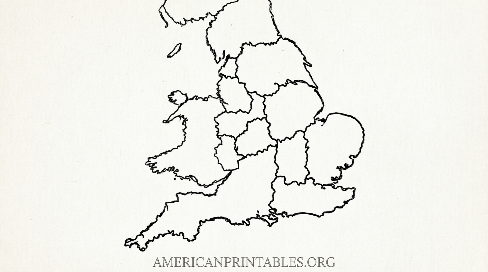
Free Printable Map of UK Counties – Download Now – Looking for a free printable map of UK counties? Whether you need it for a school project, homeschool lesson, travel planning, genealogy research, or just curiosity about British geography, several reliable sources offer high-quality, ready-to-print maps at no cost.
This page explains the difference between historic and modern UK counties, highlights the best free resources, and points you straight to legitimate download pages. All maps listed here are free for personal or educational use (check each site’s license for commercial needs).
Understanding UK Counties
The United Kingdom consists of four countries: England, Scotland, Wales, and Northern Ireland. “Counties” can refer to two different systems:
- Historic (traditional) counties – The classic 92 counties that many people still recognize for cultural, sporting, and identity reasons (for example, Yorkshire, Cornwall, or Fife).
- Modern administrative areas – Today’s official local government units. These include remaining county councils plus unitary authorities, metropolitan boroughs, and council areas. There are roughly 218 upper-tier local authorities across the UK.
Maps of modern boundaries are the most accurate for current administrative purposes. Historic maps are better for cultural or historical projects.
Best Free Printable Maps of UK Counties
Modern Counties and Unitary Authorities (Blank & Outline)
One of the most convenient free options for U.S. users is Ultimaps. It offers clean, high-resolution blank and outline maps of the United Kingdom’s counties and unitary authorities in formats ready for home or classroom printers.
You can download:
- Print-ready PDF in US Letter size (ideal for American printers) or A4
- High-resolution PNG
- Editable SVG
These maps are free for personal and commercial projects with simple attribution. Perfect for labeling exercises, coloring, or presentations.
Get the free downloads here:
Blank Map of United Kingdom Counties and Unitary Authorities (Ultimaps)
Historic Counties Maps
For traditional county boundaries, the Association of British Counties provides free, high-quality maps under a Creative Commons license (CC BY 4.0). These show the historic counties of the United Kingdom and are excellent for genealogy, heritage projects, or teaching classic British geography.
An A3-sized version is recommended for clear printing. Attribution to the Association of British Counties is required.
View and download the map here:
Map of the Counties – Association of British Counties
(Direct A3 printable image also available via their linked resources.)
Official Administrative Map
The UK’s Office for National Statistics (ONS) publishes authoritative maps of counties and unitary authorities. The April 2023 PDF map shows current administrative boundaries and is available through the official Open Geography Portal.
Access the official map page here:
Counties and Unitary Authorities (April 2023) Map – ONS / Open Geography Portal
Tips for Printing Your Free UK Counties Map
- Prefer the US Letter PDF when available so it fits standard American paper without cropping.
- For classroom use, print the blank or outline version and have students label the counties themselves.
- Use the labeled or historic version as an answer key or reference.
- Print at the highest quality setting for clear boundaries. Larger formats (A3 or scaled PNG/SVG) work well for wall displays.
- Always check the license on the download page before using the map in publications or commercial work.
- Free Printable Map of UK Counties – Download Now
Free Printable Map of UK Counties – Download Now
Related Search Tips
People looking for a free printable map of UK counties often also search for:
- Blank UK counties map for coloring or quizzes
- Printable map of England counties
- UK administrative map PDF
- Historic counties of Great Britain map
The resources above cover the most useful free options that remain current and legitimate.
Brief FAQ
Are these maps really free?
Yes. The Ultimaps, Association of British Counties, and ONS resources listed here are free to download and use under their stated licenses. No payment or subscription is required for the basic files.
Which map should I choose?
Use the Ultimaps blank version for modern boundaries and easy printing on US Letter paper. Choose the Association of British Counties map if you specifically need historic/traditional counties.
Can I use these maps in a classroom or for commercial projects?
Most allow educational and personal use. Ultimaps permits commercial use with attribution; the Association of British Counties maps are CC BY 4.0 (free with attribution). Always review the license on the source page.
Do the maps include Northern Ireland, Scotland, and Wales?
Yes. The recommended maps cover the entire United Kingdom (England, Scotland, Wales, and Northern Ireland).
With these trusted sources you can download a free printable map of UK counties in just a couple of clicks. Start with the Ultimaps US Letter PDF for the quickest home-printing experience, or explore the historic and official options depending on your project.