Free Printable Map of UK Towns and Cities – Looking for a free printable map of UK towns and cities? Whether you’re planning a trip from the United States, teaching geography, tracing family roots, or simply want a clear overview of England, Scotland, Wales, and Northern Ireland, a good printable map makes a practical starting point.
This guide explains what these maps typically include, why they help American users, and points you to legitimate free sources so you can download and print without paywalls or questionable sites.
Why a Free Printable UK Map Is Useful for Americans?
The United Kingdom has a dense network of towns and cities packed into a relatively small area compared with the U.S. A single printable sheet showing major cities (London, Birmingham, Manchester, Glasgow, Edinburgh, Cardiff, Belfast, and many others), key towns, main roads, and country borders helps you:
- Visualize distances and regions before booking flights or trains
- Support school or homeschool geography lessons
- Mark ancestral hometowns for genealogy projects
- Create a simple wall reference or travel planning sheet
Most free options work well on standard U.S. Letter paper (8.5 × 11 inches). You can scale them in your printer settings if needed.
Best Places to Get Free Printable Maps of UK Towns and Cities
Here are reliable, current sources. Always check the license notes on each site (most allow personal, educational, or non-commercial use; some permit commercial reuse with attribution under the Open Government Licence).
Official Ordnance Survey MiniScale Map
Ordnance Survey, the national mapping agency for Great Britain, offers MiniScale—a free small-scale digital map that clearly shows towns and cities, motorways, major roads, railways, and airports. It is available under the Open Government Licence for free personal and commercial use (with acknowledgment).
Download the zip file (EPS, Illustrator, and TIFF formats ideal for high-quality printing) from the OS Data Hub:
OS MiniScale free download.
You can also review the product details here:
Ordnance Survey MiniScale page.
Large Detailed Map with Cities and Towns
A ready-to-print detailed map that labels many cities, towns, roads, and features is available for educational, personal, and non-commercial use (attribution required). View and print the high-resolution image directly:
Large detailed UK map with cities and towns.
Free Printable Maps under Creative Commons
Mapswire provides several free maps of the United Kingdom (physical, printable, and blank versions) under a Creative Commons CC-BY 4.0 license. These are straightforward to download and print:
Mapswire free UK maps.
Blank and Labeled Outline Options for Labeling Practice
If you prefer a blank or lightly labeled outline map (useful for quizzes, coloring, or adding your own notes about towns and cities), free printable PDFs sized for A4 or U.S. Letter are available here:
Mappr free blank UK maps.
These five sources prioritize official or clearly licensed material. Avoid random image search results that may carry unclear copyright or low quality.
Free Printable Map of UK Towns and Cities
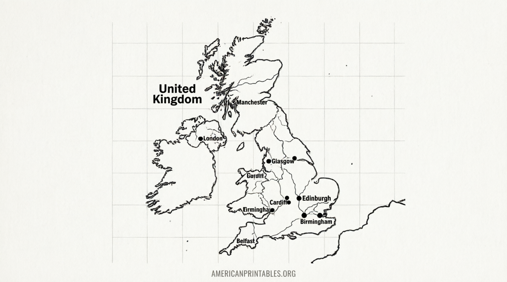
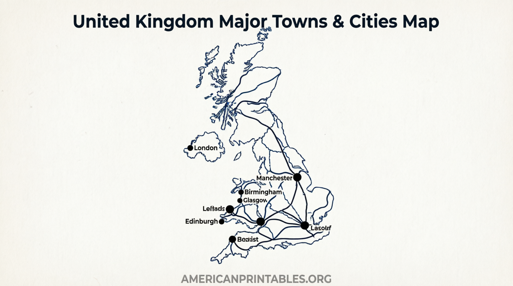
Practical Tips for Printing and Using Your Map
- Choose PDF or high-resolution TIFF/EPS files when available for the sharpest print.
- Set your printer to “Fit to page” or “Actual size” and use landscape orientation if the map is wide.
- For classroom or wall use, print on heavier paper or enlarge at a copy shop.
- Add your own notes (flight arrival city, planned stops, or ancestral villages) with a fine marker after printing.
- Combine a national overview with individual city street maps if you need street-level detail later.
Quick FAQ
Are these maps really free?
Yes. The Ordnance Survey OpenData products, Mapswire Creative Commons maps, and the other listed resources are free to download and print under the terms stated on each page. Always respect attribution requirements.
Do the maps include Northern Ireland?
Most national overviews cover the whole United Kingdom (England, Scotland, Wales, and Northern Ireland). MiniScale focuses on Great Britain; check the coverage notes on each download page.
Can I use the map commercially?
Ordnance Survey OpenData (including MiniScale) generally allows commercial reuse under the Open Government Licence with proper acknowledgment. Other sites vary—read the license on the download page.
What paper size works best for U.S. printers?
U.S. Letter (8.5 × 11 in) works for most home printers. Many free PDFs are designed for A4 but scale cleanly to Letter size.
A clear free printable map of UK towns and cities gives you an instant, offline reference that no phone screen can fully replace. Start with the official Ordnance Survey MiniScale or the detailed printable options above, print one or two versions, and you’ll have a useful resource ready for planning, teaching, or exploring.