Free Printable Map of Washington DC Guide – Looking for a free printable map of Washington DC? Whether you’re planning a trip to the National Mall, navigating museums and monuments, or exploring neighborhoods, a clear paper map remains one of the most useful tools for visitors. Cell service can be spotty near major sites, and offline maps help you move efficiently between the White House, Capitol, Smithsonian museums, and memorials.
This guide points you to legitimate, currently available free printable and downloadable maps from trusted sources. All resources listed offer free access—no paid upgrades required for the basic maps or guides.
Why Use a Free Printable Map of Washington DC?
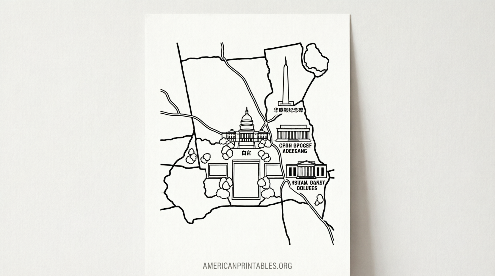
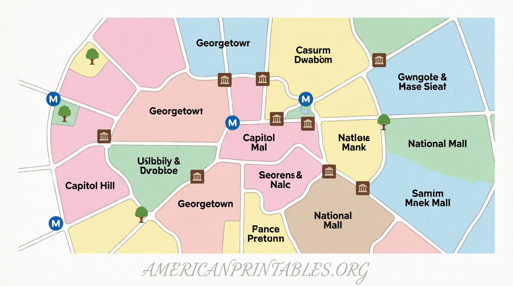
Washington DC is highly walkable in its core tourist areas, but the National Mall stretches roughly two miles from the Capitol to the Lincoln Memorial. A printed map lets you mark your route, note Metro stations, and keep key landmarks visible at a glance. Official and high-quality free maps typically highlight:
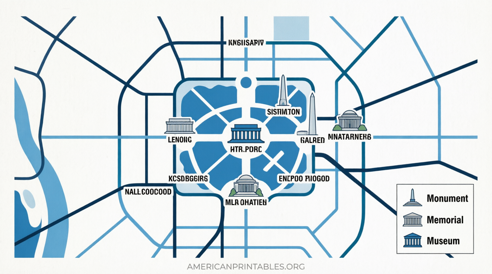
- Major monuments and memorials
- Smithsonian museums
- Metro stops and walking paths
- Key streets and neighborhoods
Print at home on standard letter or larger paper, or save the file to your phone for offline viewing.
Best Places to Get a Free Printable Map of Washington DC
Here are reliable sources prioritized for accuracy, official status, and ease of use.
Official Destination DC Visitors Guide and Map
Destination DC, the city’s official tourism organization, offers a free visitors guide that includes a detailed map. You can request a printed copy by mail or view the digital version online. The guide covers attractions, neighborhoods, free things to do, and practical visitor information. Order or view it at the official Destination DC visitors guide page.
Free High-Resolution Tourist Map from Tripomatic
Tripomatic provides a free, high-resolution printable tourist map of Washington, D.C. with top sights numbered for easy reference. You can download the map image, print it, or use it offline. The map is available under a Creative Commons license (credit required for reuse). Access the download and print options directly on the Tripomatic Washington, D.C. printable map page.
National Mall Maps from National Park Service Sources
The National Mall and Memorial Parks form the heart of most visitor itineraries. Free maps based on official National Park Service brochure materials are available for download as PDFs. These show monuments, memorials, museums, and pathways in clear detail. One convenient collection of free National Mall maps (including the official-style brochure map) can be found on NPMaps.
You can also explore the broader catalog of free National Park Service maps (JPEGs and PDFs) through the official NPS maps finder.
USGS Topographic and Reference Maps
For more detailed topographic or base maps of the Washington, D.C. area, the U.S. Geological Survey offers free downloadable maps through The National Map and the USGS Store. These are excellent for understanding terrain, parks, and surrounding areas. Search and download free USGS topographic maps via the USGS resources.
Free Printable Map of Washington DC Guide3
Tips for Using Your Free Printable Map Effectively
- Print on letter-size paper for portability or larger formats for group planning.
- Mark Metro stations (especially Smithsonian, Federal Triangle, Foggy Bottom, and Capitol South) and note walking times between major sites.
- Pair a tourist map with the National Mall version for the densest concentration of attractions.
- Check for updates before major events such as the Cherry Blossom Festival, when temporary changes or crowds affect routes.
- Combine printed maps with free official apps (such as the National Mall app) for real-time location when signal allows.
Brief FAQ
Are these maps truly free?
Yes. The linked resources from Destination DC, Tripomatic, NPMaps (NPS-based), and USGS provide free downloads or free mailed guides without requiring payment for the basic maps or visitor materials.
What is the best map for first-time visitors?
Start with the Destination DC visitors guide map or the Tripomatic tourist map for an overview of top sights, then add a focused National Mall map for the monuments and museums corridor.
Can I use these maps for commercial purposes?
Check the specific license. Tripomatic’s map uses CC BY 4.0 (attribution required). Official government maps (NPS and USGS) are generally in the public domain in the United States, but always verify current terms on the source page.
Do the maps include Metro and transit information?
Many tourist and National Mall maps show major Metro stations. For the most current transit details, cross-check with official WMATA resources once you have your printed map.
A good free printable map of Washington DC makes exploring the capital simpler and more enjoyable. Download one or more of the resources above, print what you need, and enjoy your visit to the nation’s capital.