Free Printable Northeast States Map – Looking for a free printable Northeast states map for school, homeschool, travel planning, or personal reference? This guide explains the region, lists the states and capitals, and points you to legitimate free resources you can download and print today.
The U.S. Census Bureau defines the Northeast as nine states: Connecticut, Maine, Massachusetts, New Hampshire, New Jersey, New York, Pennsylvania, Rhode Island, and Vermont. These form two divisions—New England and the Middle Atlantic. Some classroom materials expand the list to include Delaware and Maryland.
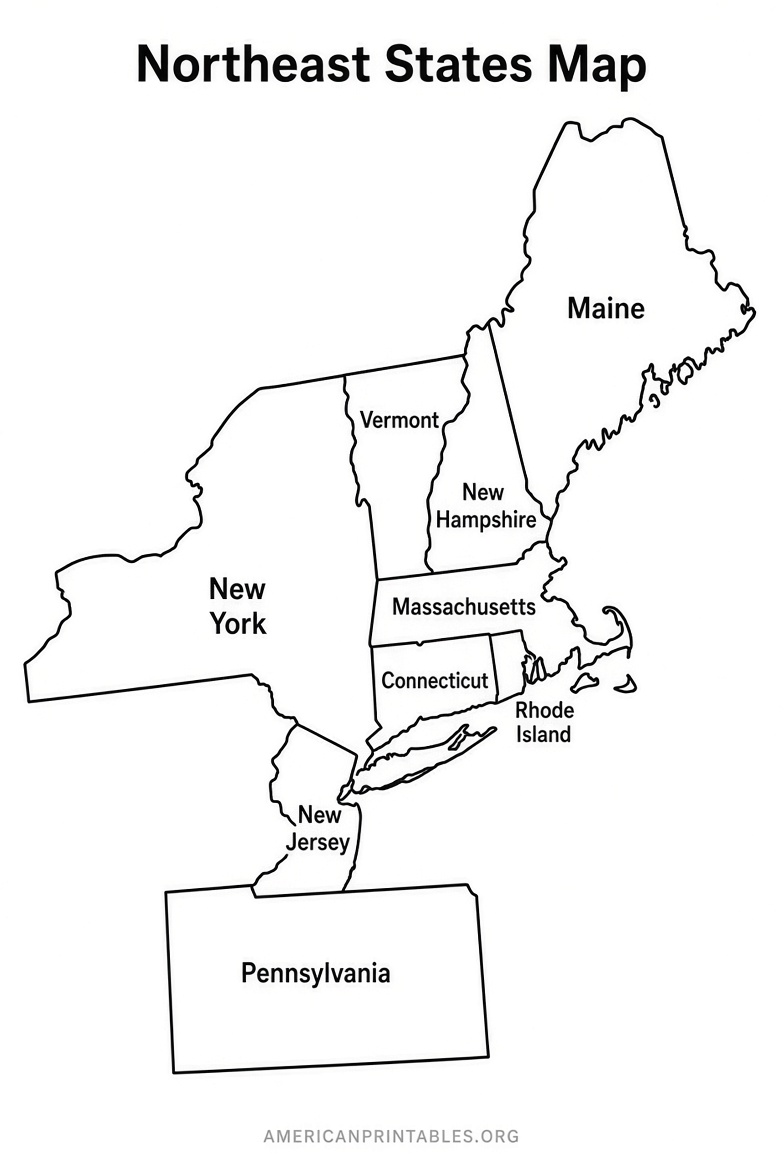
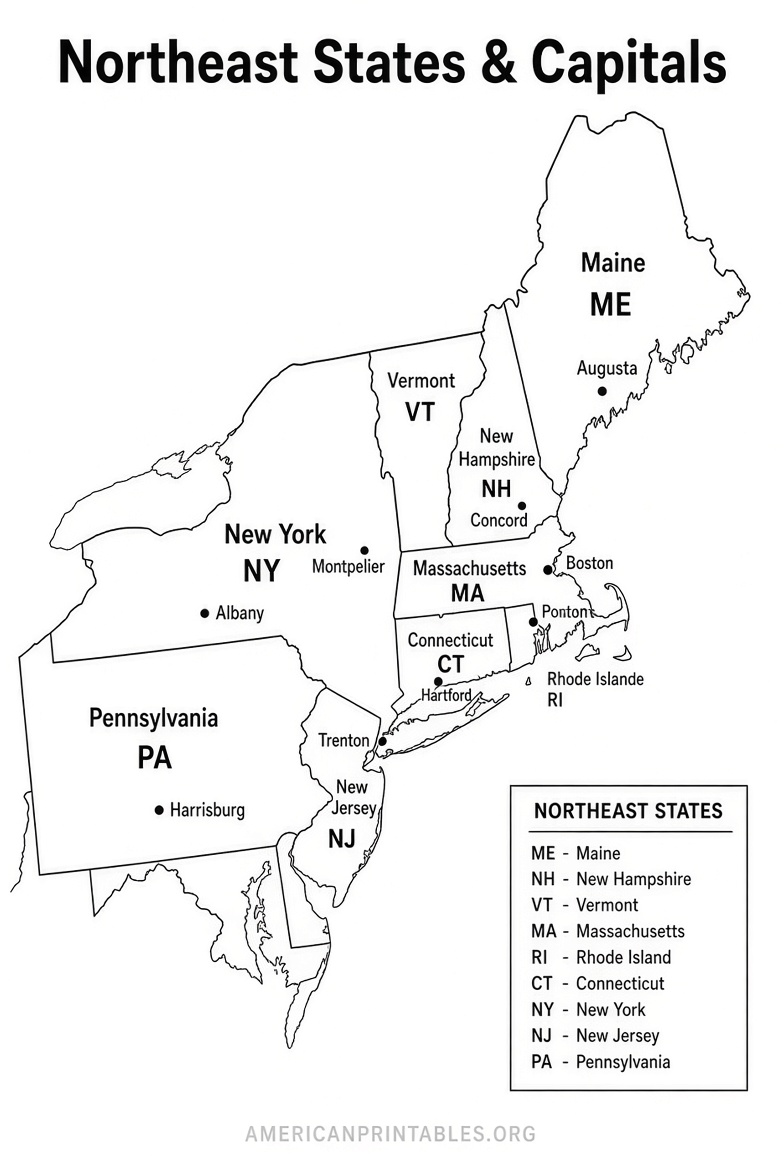
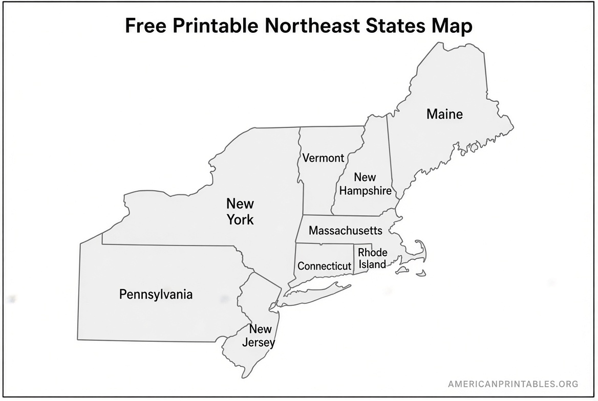
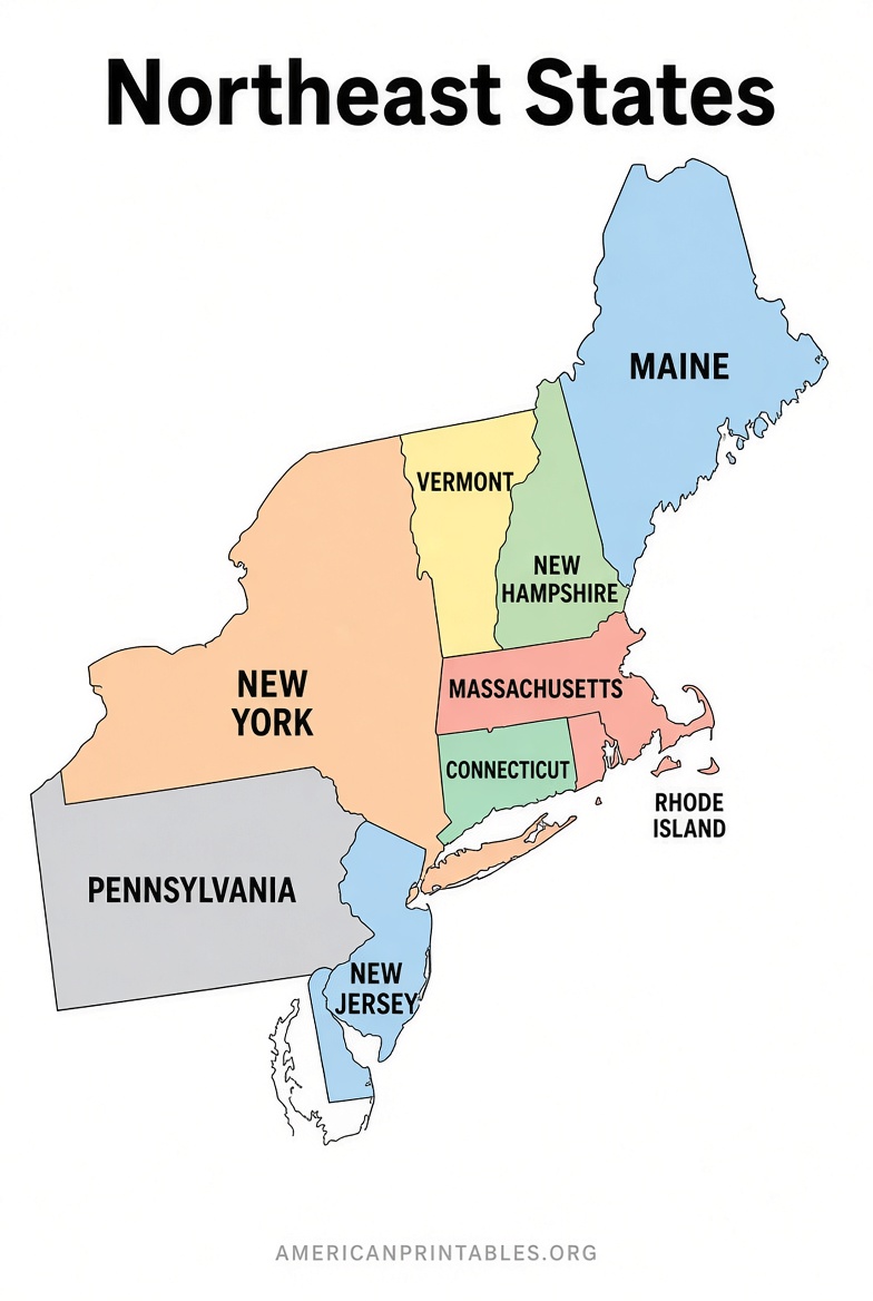
A good free printable Northeast states map usually comes in blank outline form (ideal for labeling quizzes), labeled versions with state names, or versions that include capitals. Most work well on standard U.S. Letter paper.
What Makes a Useful Northeast States Map Printable?
Choose maps with clear state boundaries, especially for the smaller New England states. PDF format is usually best for clean printing. Blank maps support active learning—students or users fill in names and capitals themselves. Labeled maps serve as quick references or answer keys.
Common uses include:
- Geography lessons and state-capital practice
- Homeschool worksheets
- Coloring or regional comparison activities
- Travel or road-trip planning
- Classroom quizzes
Free Printable Northeast States Map Resources
Here are reliable places to get free printable maps. All links open in a new tab and use nofollow.
One straightforward free PDF option is available from Printable World Map. Their Northeast States Map can be downloaded directly and printed at home. Note that their version covers a broader set of states than the strict Census definition.
Download free Northeast States Map PDF
For a focused blank outline of the Northeast (PDF, PNG, and SVG), visit Blank US Map. The site provides printable blank maps suitable for labeling states and capitals.
Free blank Northeast United States map downloads
Teachers Pay Teachers offers a free resource with three maps (labeled study guide, blank with word bank, and blank without word bank) plus flashcards for the Northeast region. It is free to download after creating a free account. This version commonly includes Delaware and Maryland alongside the core nine states.
Free US Northeast Region States & Capitals Maps on TPT
Printable Scholar provides free maps built from real cartographic sources (Natural Earth, USGS, and U.S. Census TIGER/Line data). Their U.S. Regions map color-codes the Northeast along with other regions and is available as PDF or PNG with no sign-up required.
Free printable US maps including regions
For an authoritative reference on the official Census definition, see the CDC’s summary of U.S. geographic regions (based on Census Bureau groupings).
U.S. Census geographic regions overview
Free Printable Northeast States Map
Northeast States and Capitals Quick Reference
Use this list with a blank free printable Northeast states map:
| State | Capital |
|---|---|
| Connecticut | Hartford |
| Maine | Augusta |
| Massachusetts | Boston |
| New Hampshire | Concord |
| New Jersey | Trenton |
| New York | Albany |
| Pennsylvania | Harrisburg |
| Rhode Island | Providence |
| Vermont | Montpelier |
(If using an expanded classroom version, add Delaware–Dover and Maryland–Annapolis.)
Tips for Printing and Using Your Map
- Select landscape orientation and “fit to page” for best results on Letter-size paper.
- Print a labeled version first for study, then a blank one for practice.
- Laminate or place in a sheet protector for repeated classroom or travel use.
- Pair the map with a full U.S. map so learners see how the Northeast fits into the larger country.
Always respect each site’s terms of use. Most free maps are intended for personal, educational, or non-commercial use.
FAQ
Which states are in the Northeast region?
The official Census Bureau list is the nine states named above. School materials sometimes add Delaware and Maryland.
Are these maps really free to print?
Yes. The linked resources offer free downloads for personal or educational use. Some sites may request an account or email for the download, but the maps themselves carry no charge.
What is the best format for a printable Northeast states map?
PDF usually prints the cleanest. PNG works well for inserting into worksheets or slides; SVG is ideal if you need to edit the file.
Can I use these maps in a classroom or for commercial projects?
Classroom and personal use is generally allowed. For commercial projects, check the specific license on each site (attribution is sometimes required).
A free printable Northeast states map is a simple, practical tool for learning geography or planning. Download one of the options above, print it out, and start labeling or exploring the region.