Free Printable Old World Maps Download Guide – Looking for free printable old world maps? These antique-style or historical maps of the Eastern Hemisphere (Europe, Asia, and Africa) or classic vintage world maps add character to classrooms, home décor, history projects, scrapbooking, and wall art. Public-domain sources make high-quality downloads available at no cost for personal and educational use in the United States.
This guide explains what old world maps typically include, how to use them, and where to find legitimate free printables from trusted collections.
What Are Old World Maps?
“Old world maps” usually refer to two related ideas:
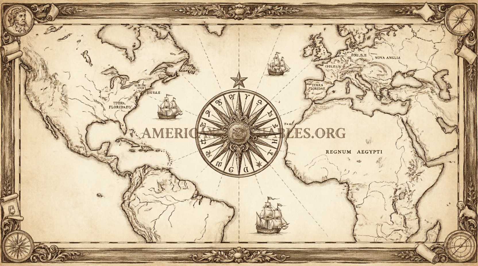
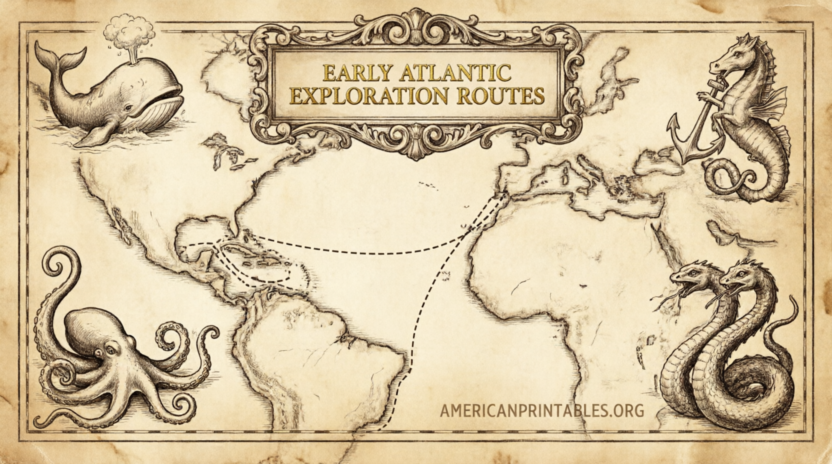
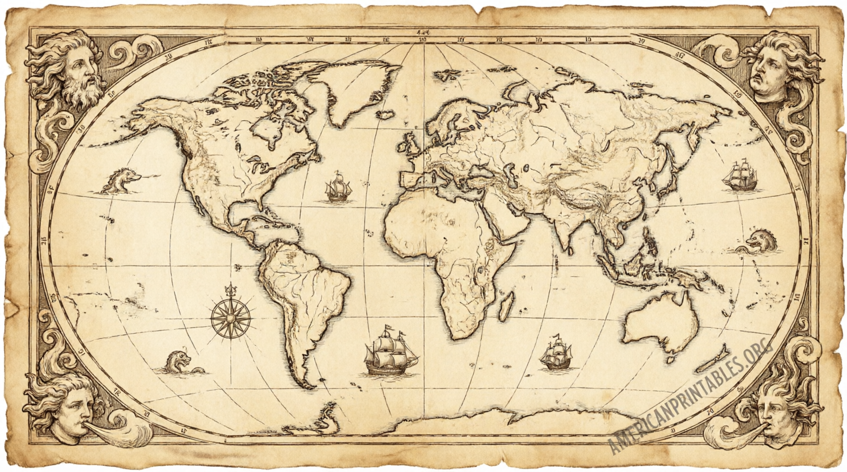
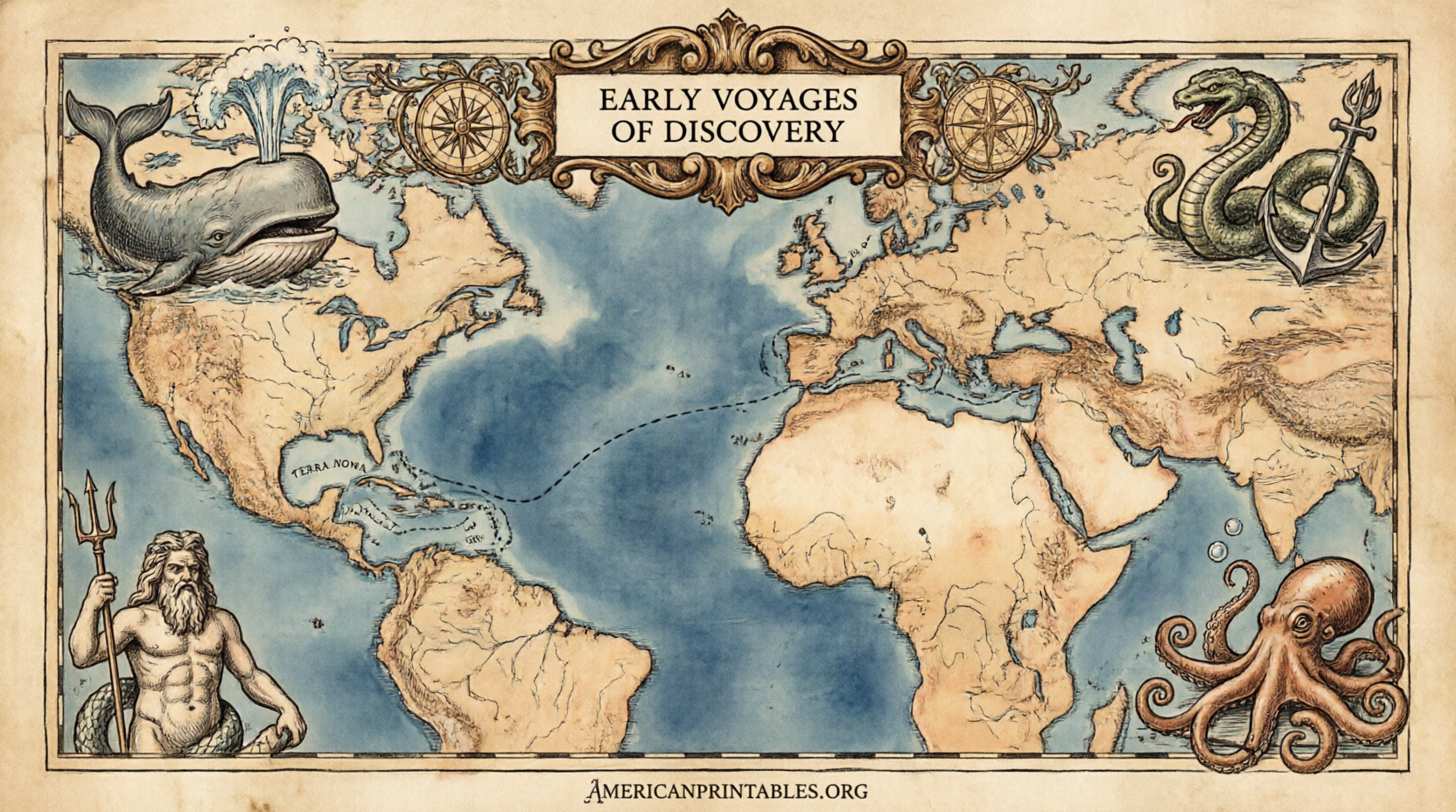
- Historical or antique-style maps of the entire world from earlier centuries (often 1500s–1800s), featuring ornate cartouches, sailing ships, sea monsters, or double-hemisphere designs.
- Maps focused on the Old World continents—Europe, Asia, and Africa—as known before widespread European contact with the Americas.
These differ from modern outline or political maps. They show how cartographers once viewed the planet, with period borders, place names, and artistic flourishes. Many originals are now in the public domain, so high-resolution scans can be printed freely for non-commercial purposes.
Why Download Free Printable Old World Maps?
Teachers use them for history and geography lessons. Homeschoolers print them for labeling exercises or timeline projects. Crafters and decorators frame them for vintage wall displays. Students appreciate the visual storytelling of exploration-era cartography.
Because the best sources are official or well-established public-domain archives, you avoid low-quality or watermarked files. Always check the license on each item (most allow personal and educational printing).
Best Places for Free Printable Old World Maps
Stick to authoritative collections. Here are the strongest current options (maximum of five external links total):
Library of Congress Geography and Map Division
Search the free digital collections for historical world maps, hemispheres, and exploration-era charts. Many items are available as high-resolution downloads suitable for printing. Start at the maps search page and filter by date or keyword such as “world map” or specific cartographers.
Library of Congress Maps
David Rumsey Map Collection
One of the largest online historical map libraries (over 150,000 images). Browse or search for world maps, antique hemispheres, and Old World coverage. High-resolution images can be downloaded for personal use; check individual licenses (many are Creative Commons or public domain).
David Rumsey Map Collection
Picture Box Blue – Free Antique World Maps
A curated set of public-domain antique world maps offered as free PDF downloads. Titles include examples from the 1500s–1800s (such as works associated with Blaeu, Ortelius-style maps, and later projections). Click the map title links for direct PDF downloads ready for letter-size or larger printing.
Free Antique World Maps at Picture Box Blue
These three sources prioritize quality, legitimacy, and free access. Avoid random blogs that rehost images without clear rights or that push paid “premium” versions of the same public-domain files.
Free Printable Old World Maps Download Guide
How to Print and Use Your Old World Maps?
- Download the highest-resolution file available (PDF or large JPEG preferred).
- Open in a PDF reader or image viewer.
- Print on letter (8.5 × 11 in) or tabloid paper for standard use; use a local print shop for poster sizes.
- For wall art, choose matte or archival paper and simple frames.
- For classroom work, print black-and-white versions for coloring or labeling, or color versions for display.
Tips for best results: Use “actual size” or 100% scale settings, and select high-quality print mode. If a file is very large, crop or resize carefully to preserve detail.
Practical Ideas for Home and Classroom
- Frame a double-hemisphere antique map as living-room or study décor.
- Have students compare an old world map with a modern political map to discuss changing borders and knowledge of the globe.
- Use maps in scrapbooks, journals, or mixed-media crafts.
- Create a timeline wall showing successive world maps from different centuries.
Brief FAQ
Are these maps truly free to print?
Yes, when taken from the public-domain or Creative Commons sources listed above and used for personal or educational purposes. Always review the specific item’s rights statement.
Can I use them commercially?
Most public-domain maps allow broader use, but some digitized collections (such as certain David Rumsey items) carry non-commercial restrictions. Check each license.
What paper size works best?
Standard US Letter for everyday printing; larger formats for wall displays. Many PDFs scale cleanly.
Where else can I look if I need more options?
The Library of Congress and David Rumsey collections contain thousands of additional historical maps beyond the curated free-printable pages.
Free printable old world maps give you authentic historical visuals without cost or complicated sign-ups. Start with the Library of Congress, David Rumsey, or Picture Box Blue collections, download a few favorites, and print them for learning or décor. Enjoy exploring how earlier generations pictured the world.