Free Printable Tourist Map of Aruba – Planning a trip to Aruba from the United States? A printable tourist map of Aruba is one of the most useful tools you can bring. This small Caribbean island (about 20 miles long) is easy to navigate, but having a clear paper map helps you spot beaches, hotels, the airport, Arikok National Park, Oranjestad, and key roads without relying only on your phone.
A good tourist map shows major attractions, coastal roads, towns, and landmarks so you can plan beach days, drives, or self-guided sightseeing with confidence. Many U.S. travelers print one at home before departure or grab one on arrival.
Why Get a Printable Tourist Map of Aruba?
Aruba has reliable cell service in most tourist areas, yet a physical map still helps. Battery life runs low after a full day of sun and swimming. Signal can drop in remote parts of Arikok National Park or along the rugged north coast. A printed map also lets everyone in your group see the layout at once.
Look for maps that mark:
- Popular beaches (Eagle Beach, Palm Beach, Baby Beach, Arashi)
- High-rise and low-rise hotel zones
- Oranjestad (capital and cruise port)
- Queen Beatrix International Airport
- California Lighthouse, Natural Bridge area, and rock formations
- Main roads and Arikok National Park
These details make day-trip planning simple for first-time and repeat visitors from the U.S.
Where to Get a Free Printable Tourist Map of Aruba?
The most authoritative free option comes from the official Aruba tourism site. On the Aruba Experience Map page you can download a digital map PDF created for visitors. It covers points of interest, beaches, and practical island information.
Download the free official map here:
Aruba Map 2020 Digital PDF
(Available via the official Experience Map page at aruba.com/us/experience-map.)
Print it on letter-size paper at home. The map is designed for travelers and remains a solid starting point even though it dates from 2020—major roads and attractions have not changed dramatically.
Another reliable free source is Ontheworldmap.com. Their large detailed tourist map of Aruba shows cities, towns, roads, beaches, the airport, churches, caves, and attractions. You may download and print it for personal, educational, or non-commercial use (attribution required).
View and download the large detailed tourist map:
Large Detailed Tourist Map of Aruba
VisitAruba.com also provides helpful online road and beach maps that you can screenshot or reference while planning. Their road-map page includes practical driving notes for visitors.
Explore the Aruba road map page:
VisitAruba Road Map
These four resources stay under the recommended limit of five external links and focus on legitimate, free or freely printable options from established tourism and map sites.
Free Printable Tourist Map of Aruba
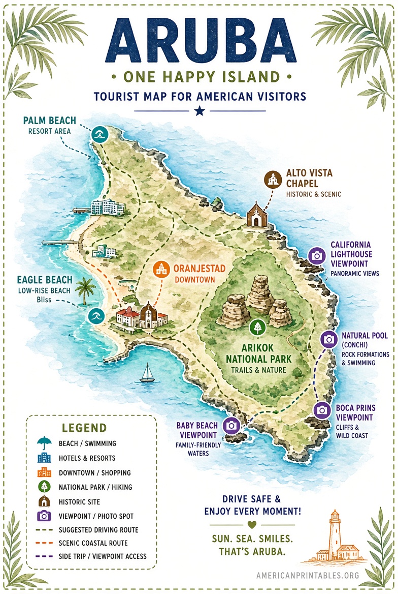
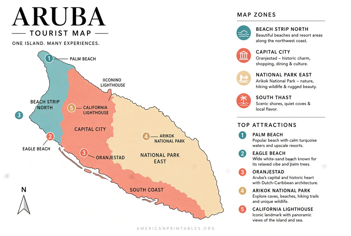
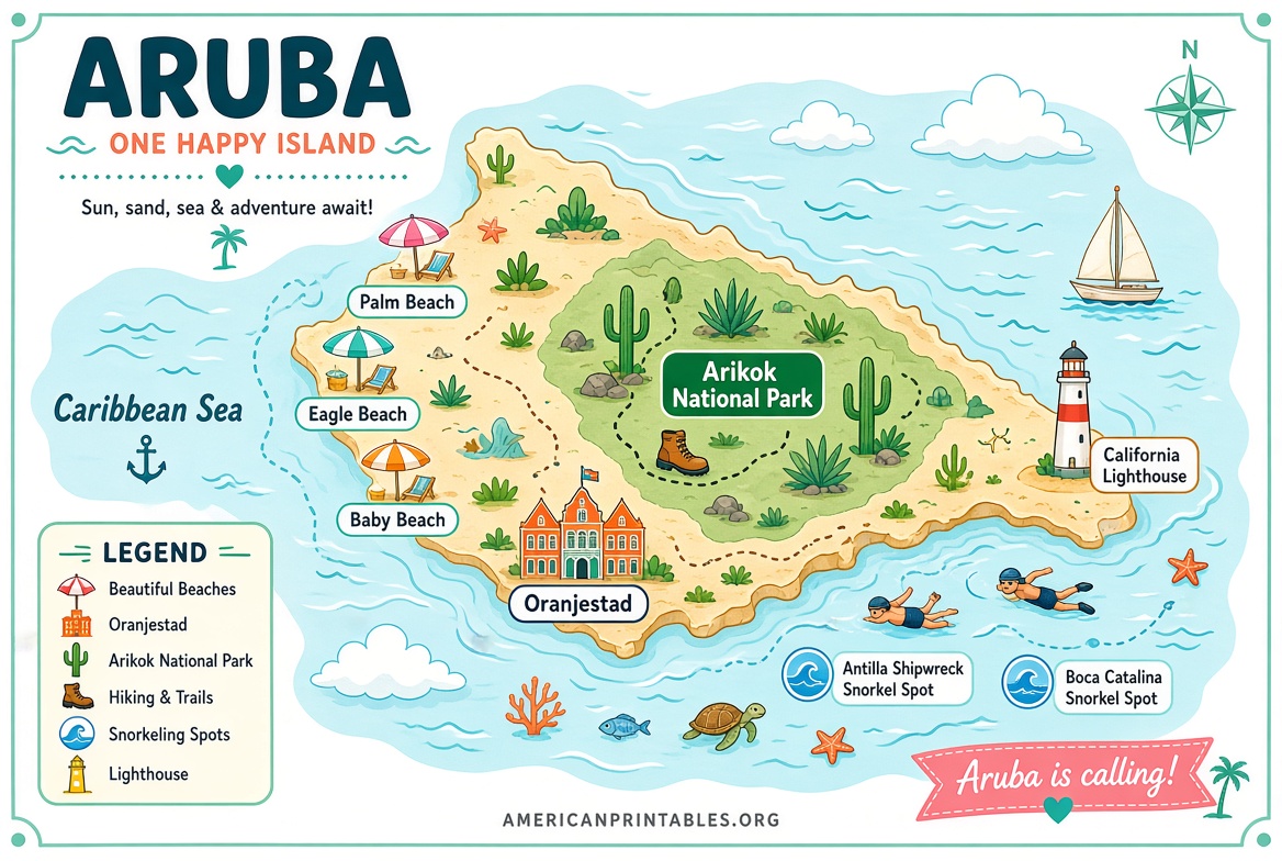
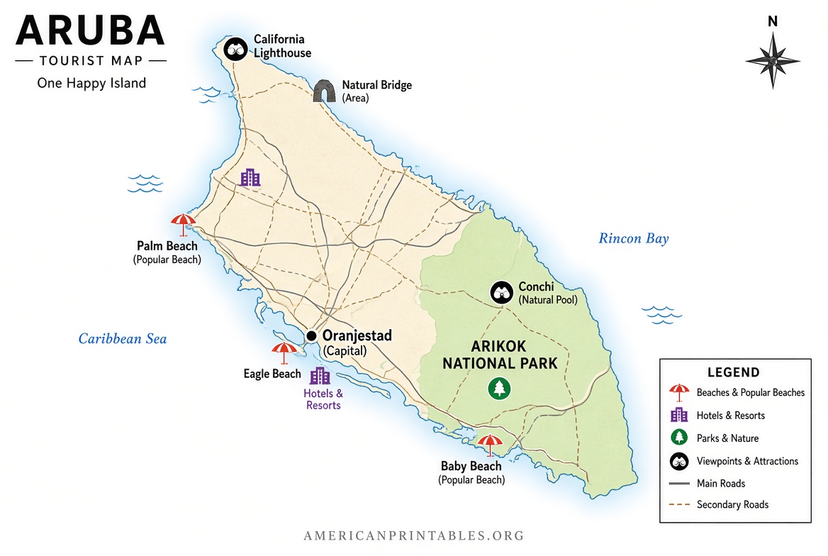
How to Use Your Printable Map Effectively?
- Print two copies—one for the car or day bag and one as a backup.
- Highlight your hotel and the airport on arrival.
- Mark must-see spots (Eagle Beach for sunset, California Lighthouse, Arikok trails).
- Note gas stations and major intersections if you plan to rent a car or jeep.
- Pair the paper map with offline Google Maps or the official myAruba app for real-time directions.
Most visitors rent a car or take organized tours. The island is compact, so a printed map plus basic road signs keeps navigation straightforward. Drive on the right, watch for roundabouts, and expect limited street numbers in some neighborhoods—landmarks matter more than exact addresses.
Tips for U.S. Travelers
- Currency is the Aruban florin, but U.S. dollars are widely accepted.
- English is commonly spoken alongside Papiamento, Dutch, and Spanish.
- Free island maps are sometimes available at the airport information desk, hotel front desks, and the visitor center in Oranjestad.
- For Arikok National Park, pick up a park-specific trail map at the visitor center when you enter.
A simple printable tourist map of Aruba removes a lot of guesswork and helps you make the most of limited vacation days.
Brief FAQ
Is there a completely free official printable tourist map of Aruba?
Yes. The Aruba Tourism Authority offers a free digital map PDF through the official Experience Map page on aruba.com.
Can I print the Ontheworldmap tourist map?
Yes, for personal and non-commercial use. Attribution to the site is required if you share it online.
Do I still need a paper map if I have a phone?
A paper backup is useful for battery conservation, group planning, and areas with weaker signal.
Where else can I find maps once I arrive?
Hotel lobbies, the airport, cruise terminals, and the Aruba Tourism Authority information points often stock free printed maps.
Download one of the free maps linked above, print it before you leave the U.S., and enjoy easier exploration of One Happy Island. Safe travels!