Printable Map of Ketchikan, Alaska | Free PDFs – A printable map of Ketchikan, Alaska is one of the most useful things you can pack for a cruise stop, ferry trip, or independent visit. Downtown is compact and walkable, but the city stretches along Tongass Narrows, the airport sits on another island, and popular stops such as Creek Street, Saxman, and Totem Bight are easier to plan when you can see them on paper.
This page explains which Ketchikan maps are worth printing, where to get legitimate free copies, and how to use them once you arrive.
Why a paper map still helps in Ketchikan?
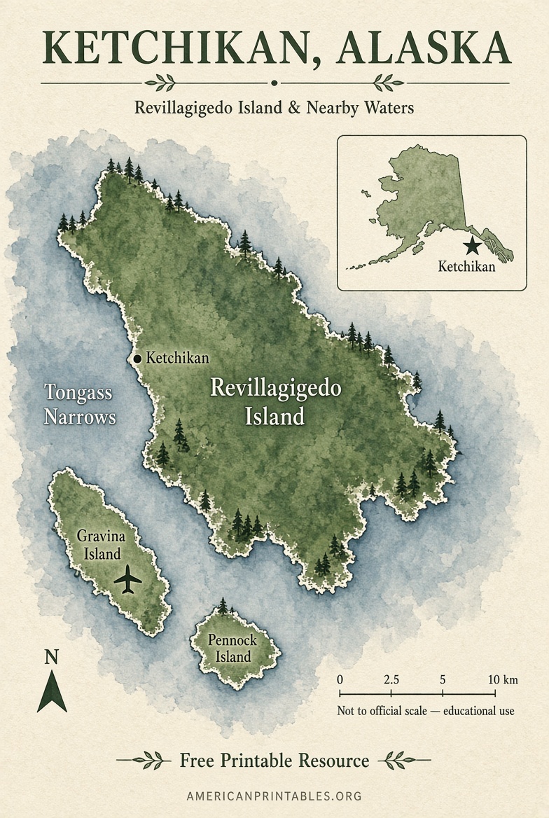
Ketchikan sits on Revillagigedo Island in Southeast Alaska, at the southern end of the Inside Passage. Most first-time visitors arrive by cruise ship at the downtown berths or by air at Ketchikan International Airport on Gravina Island.
Cell service can drop in pockets of town and on the highway. A printed street map also works in the rain, on a bus, or when you only have a few hours ashore. Official visitor centers still hand out paper maps for that reason.
Best free printable maps of Ketchikan
Start with a downtown street map if you are on a cruise. Add a city-wide map if you plan to ride the bus, visit Totem Bight, or stay overnight.
Official visitor maps
The Ketchikan Visitors Bureau is the first place to look. Its maps page is the official tourism hub for getting oriented to town and the surrounding islands:
Visit Ketchikan: Ketchikan Maps
On site, staff at the waterfront visitor centers also give out free printed maps and walking-tour guides. That is the most current paper copy you can carry.
Free downtown street map (PDF)
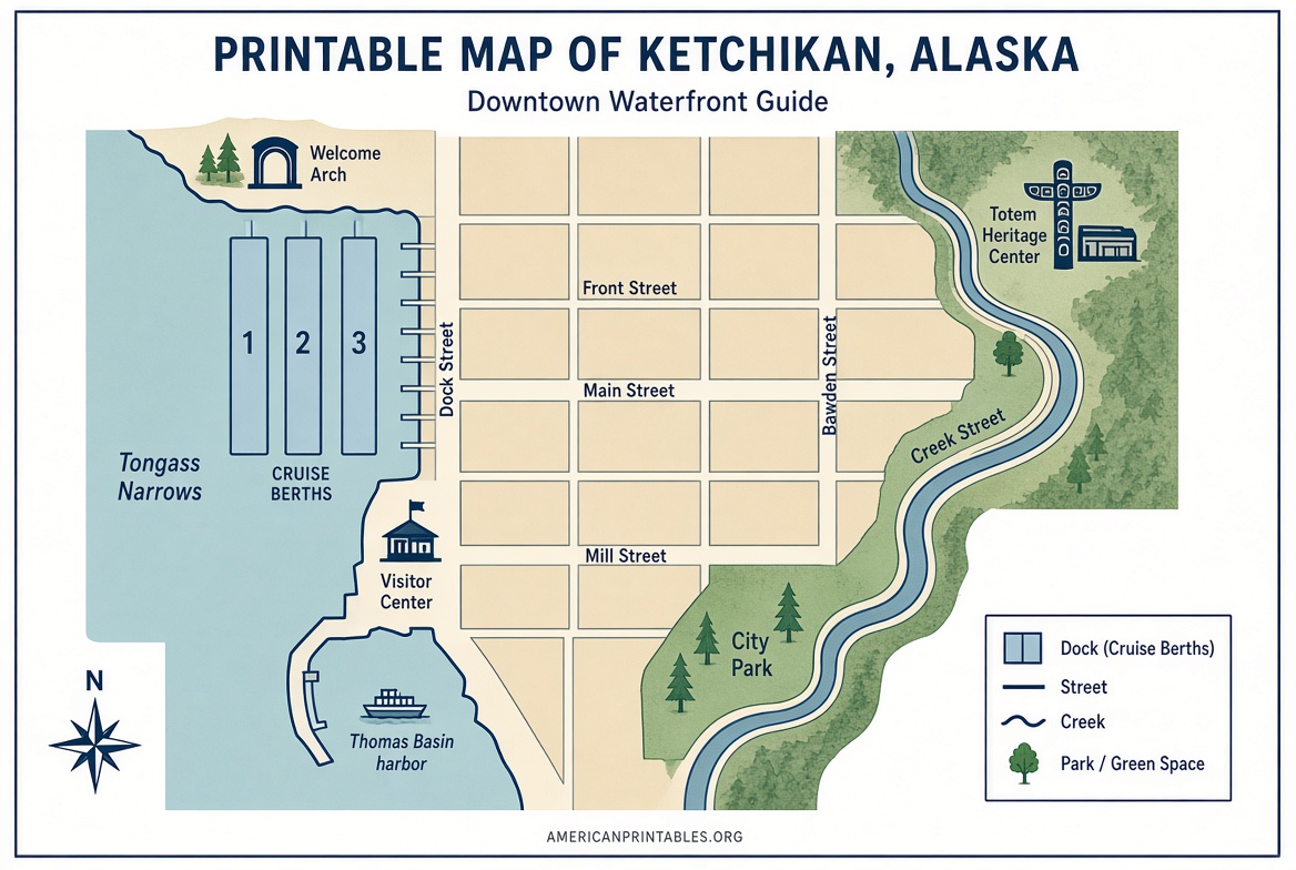
For a simple printable map of Ketchikan focused on cruise docks, Creek Street, and the core downtown streets, download this free PDF and print it letter-size:
Download the Downtown Ketchikan Map (PDF)
This is the map most cruise visitors need. It shows the waterfront, the main shopping streets, and the short walk from the docks into town.
A wider city map is better if you also want the ferry terminal and neighborhoods north of downtown:
Download the Ketchikan City Map (PDF)
Both files are free to view and save. They are hosted on a long-running local guide site that collects downtown, city, island, and surrounding-islands maps in one place: Experience Ketchikan map collection.
Free historic walking-tour map
If you want numbered stops instead of just streets, print the Historic Ketchikan walking-tour map. It covers downtown highlights such as the Welcome Arch, Creek Street, the Southeast Alaska Discovery Center, Married Man’s Trail, City Park, and the Totem Heritage Center.
Download the Downtown Walking Tour Map (PDF)
Pick up a fresh printed copy at a visitor center as well. The paper version is free around town and is easier to fold in the rain than a multi-page printout.
Official topographic maps from the USGS
A tourist street map is not the same as a topographic map. If you need trails, contour lines, lakes, or terrain around Ketchikan and Tongass National Forest, use the U.S. Geological Survey.
USGS US Topo maps and historical topographic maps for the Ketchikan area are free to download as printable PDFs through topoView. Search “Ketchikan, AK,” choose a quadrangle, then download the GeoPDF.
USGS topoView: free printable topographic maps
These government maps are the right choice for hiking, research, or classroom use. They are not the best first map for a two-hour downtown walk.
What each type of Ketchikan map is good for?
Downtown / cruise map. Use this for Berths 1–3, Front Street, Creek Street, shops, museums, and the visitor center. Most attractions near the ships are a short walk.
City map. Use this for the North Tongass and South Tongass Highway corridor, the airport ferry, Walmart/Plaza area, and neighborhoods beyond walking range.
Island map. Ketchikan is on Revillagigedo Island. An island map helps if you are driving to Ward Lake, Clover Pass, or trailheads outside town.
Walking-tour map. Use this if you want historic buildings and totem sites labeled in order, not just street names.
USGS topo map. Use this for elevation, creeks, forest land, and backcountry context. Print at 11×17 if you can; letter size can feel cramped on Alaska quadrangles.
Printable Map of Ketchikan, Alaska | Free PDFs
How to print a Ketchikan map that you can actually use?
Print in color when possible. Water, docks, and parks are much easier to read that way.
Use letter size (8.5 x 11 inches) for a downtown map. Use legal or tabloid paper for a city or island map if your printer allows it.
Set the PDF to “Fit” or “Actual size,” then check the scale bar before you leave home. A cropped print that cuts off the docks or the highway north of town is common and easy to avoid.
Slip the map in a clear plastic sleeve. Ketchikan is one of the rainiest cities in the United States, and a wet paper map falls apart fast.
Do not use a screenshot of a phone map as your only copy. Screenshots lose street labels when you zoom or print.
How to use the map once you are in town?
Start at the visitor center on the downtown waterfront if you arrive by cruise ship. Confirm dock locations, bus routes, and any temporary street closures, then mark your must-see stops on the printed map.
Downtown is the easy part. From the central docks you can walk to Creek Street in about 5–10 minutes and to the Totem Heritage Center in roughly 15 minutes.
Look beyond downtown if you have more time:
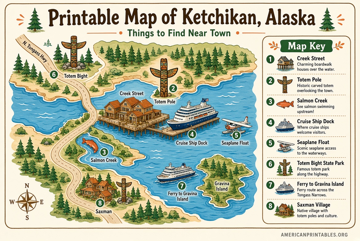
- Saxman Totem Park is south of town along South Tongass Highway.
- Totem Bight State Historical Park is several miles north.
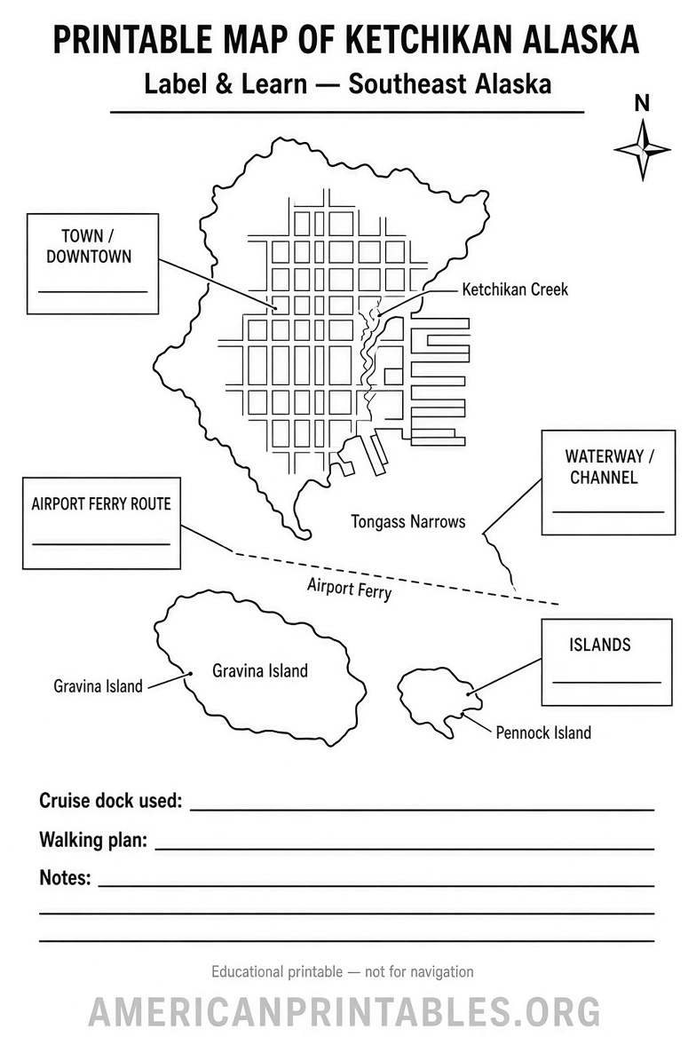
- Ketchikan International Airport is on Gravina Island. You reach it by the airport ferry, not by a bridge from downtown.
A city map plus the local bus system is enough for most of those trips. Municipal buses run on the main corridor; summer also brings a free downtown shuttle. Check the current schedule at the visitor center before you rely on it.
Free maps in person vs. maps you print at home
Print at home if you are planning from the Lower 48 and want to mark walking times, restaurants, or excursion meeting points in advance.
Pick up a free map in Ketchikan if you want the latest visitor edition. Hours at the Berth 2 center run year-round, with shorter winter hours; seasonal centers open with the cruise schedule.
Avoid random “free map” landing pages that ask for an email before showing a file, or sites that only sell decorative wood or wall maps. Those are souvenirs, not navigation tools.
FAQ
Is there a truly free printable map of Ketchikan?
Yes. You can download free downtown and city PDFs, print a historic walking-tour map, or get a free paper map at the official visitor centers. USGS topographic maps for the Ketchikan area are also free to download.
What is the best printable map for a cruise stop?
A downtown street map plus the walking-tour map. You can cover Creek Street, the Welcome Arch, shops, and several totem sites on foot.
Can I use Google Maps instead?
Use it as a backup. A printed map is more reliable on the docks, in the rain, and when you want a simple overview of how downtown relates to the highway and ferry.
Where is Ketchikan on a map of Alaska?
It is in the far southeast Panhandle, near the southern entrance to the Inside Passage, not near Anchorage or Fairbanks.
Do I need a nautical chart?
Only if you are operating a boat. Harbor charts are different from street maps. For navigation, use current official NOAA electronic charts, not a tourist printout.
Print the downtown PDF before you travel, pick up a fresh visitor map when you land, and you will have a clear, legitimate printable map of Ketchikan, Alaska without paying for a decorative poster.