Printable Map of Paul’s Journeys | Free Downloads – A printable map of Paul’s journeys is one of the most useful tools for Bible study, Sunday school, homeschool, or personal reading of the Book of Acts. These maps help readers visualize the long distances the Apostle Paul traveled, the cities where early churches were planted, and the spread of the gospel across the Roman world.
Paul’s missionary journeys (plus his voyage to Rome) took place in the mid-first century A.D. They are described primarily in Acts 13–28. A clear printable map turns abstract place names into a coherent story of travel, opposition, and church planting.
Overview of Paul’s Journeys
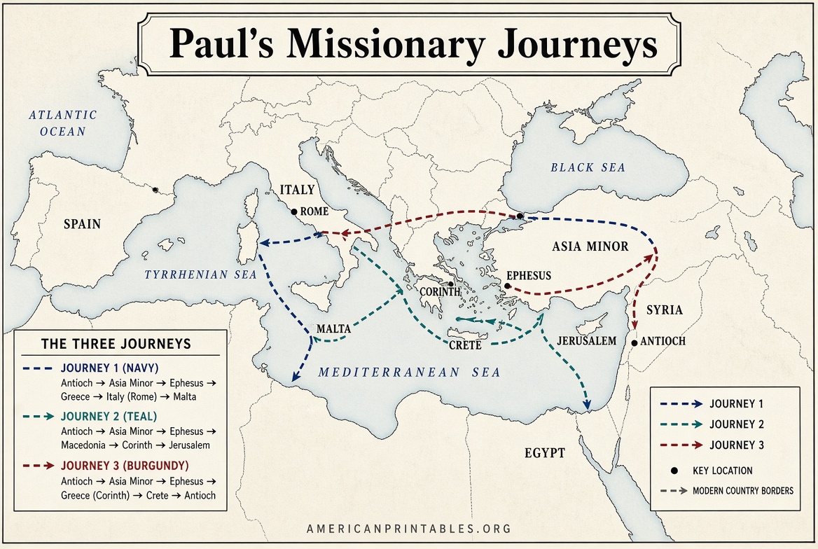
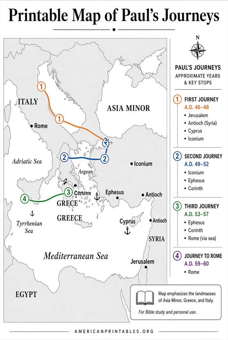
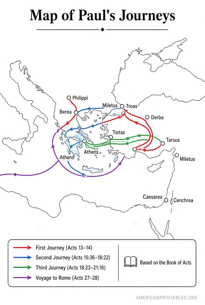
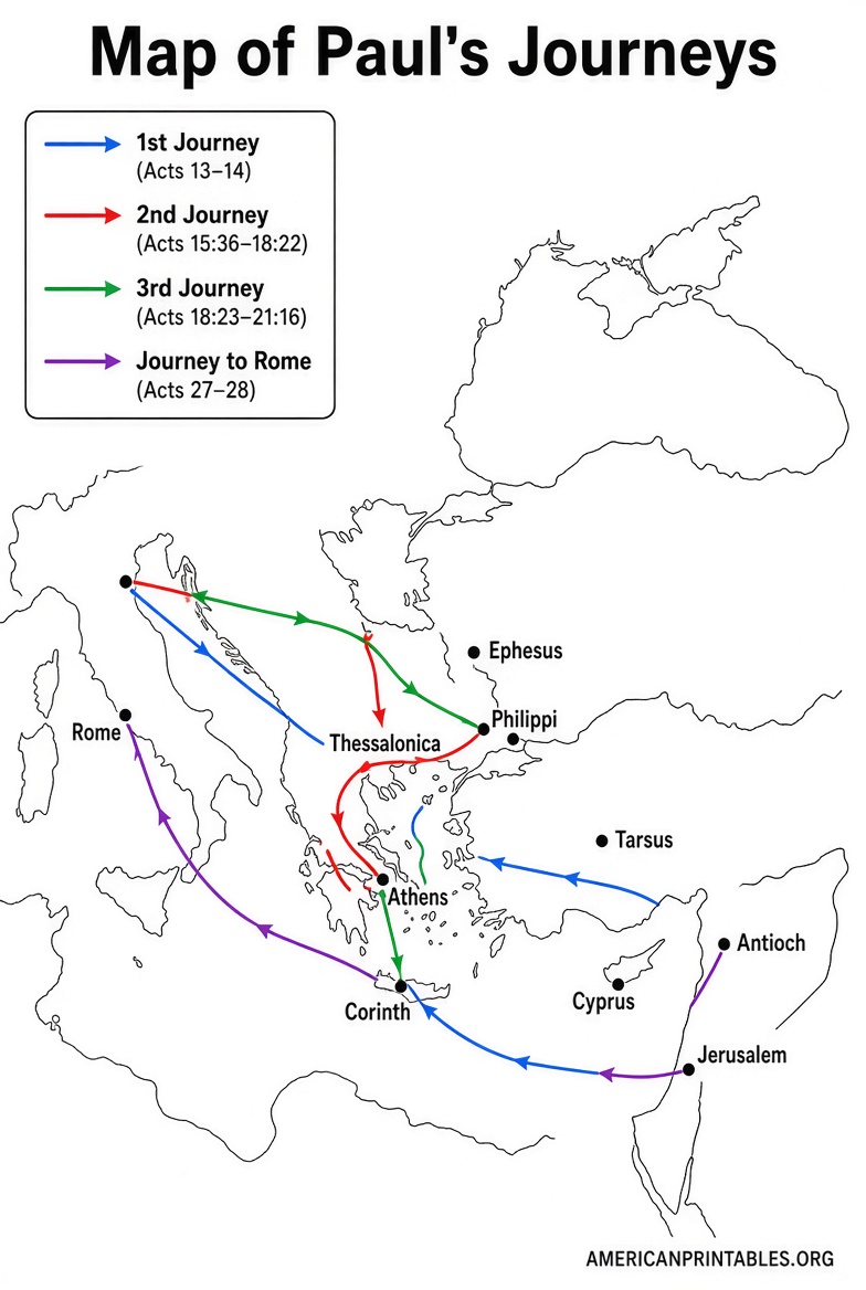
Most maps show three main missionary journeys plus the voyage to Rome:
- First Journey (Acts 13–14): Paul and Barnabas leave Antioch of Syria, sail to Cyprus, then travel through southern Asia Minor (modern Turkey) to cities such as Pisidian Antioch, Iconium, Lystra, and Derbe before returning.
- Second Journey (Acts 15:36–18:22): Paul travels with Silas (and later Timothy and Luke). They revisit earlier churches, cross into Macedonia, and reach Philippi, Thessalonica, Athens, and Corinth.
- Third Journey (Acts 18:23–21:17): Paul strengthens churches in Galatia and Asia, spends extended time in Ephesus, then travels through Macedonia and Greece before returning to Jerusalem.
- Voyage to Rome (Acts 27–28): After arrest in Jerusalem and imprisonment in Caesarea, Paul is sent as a prisoner to Rome. The ship is wrecked on Malta; he eventually arrives in Rome under house arrest.
Some maps also note possible later travels mentioned in the pastoral epistles and early church tradition.
Why a Printable Map Helps?
Printable maps work well for:
- Marking routes with colored pencils or highlighters during Bible reading
- Sunday school or small-group lessons
- Homeschool geography and history units
- Church bulletin boards or classroom walls
- Personal study notes and journaling
Blank versions let students or readers fill in cities and routes themselves, which improves retention.
Free Printable Maps from Trusted Sources
Here are legitimate, currently available free resources suitable for personal, church, or educational use. Always check each site’s terms for attribution or commercial restrictions.
One of the highest-quality options is the large poster-style map from Bible Mapper Atlas. It covers Paul’s travels across the Roman world and is designed for printing at poster size (or scaled down). High-resolution files are available for free download:
Bible Mapper – Poster Map of Paul’s Travels
Churchmaps.info offers a clean, high-resolution public-domain map of Paul’s journeys (with or without a political inset). The maps can be downloaded as PNG files and are free to use, modify, or redistribute:
Churchmaps.info – Paul Journeys Maps
FreeBibleimages provides a set of maps of Paul’s missionary travels contributed by The Bible Journey. Downloads are available in several formats (including PDF and JPEG) under a Creative Commons Attribution-NonCommercial license for personal and teaching use:
FreeBibleimages – Maps: The Journeys of Paul
Foundations for Freedom offers clear maps of the first and second journeys (including blank versions for labeling) that may be copied or projected for teaching and personal study:
BFF – Acts Map: Paul’s First & Second Journeys
The same site also has maps covering the third journey and the voyage to Rome, again with blank versions:
BFF – Acts Map: Paul’s Third & Rome Journeys
Printable Map of Paul’s Journeys | Free Downloads
Practical Tips for Using Printable Maps
- Print on letter or legal paper for individual study; use larger formats or poster printers for group settings.
- Use colored markers or highlighters to distinguish the different journeys.
- Pair the map with a simple timeline of key events and Scripture references.
- For younger students, start with a blank map and add cities one journey at a time.
- Laminate frequently used copies so they can be marked with dry-erase markers.
Brief FAQ
Are these maps historically accurate?
They reflect the general consensus of New Testament scholars based on the text of Acts, known Roman roads, and ancient geography. Exact routes between some cities involve educated reconstruction.
Can I use these in a church or classroom?
The sources listed above generally permit personal, teaching, and non-commercial use. Always review the specific license on each page (especially FreeBibleimages’ non-commercial terms).
What paper size works best?
Most home printers handle letter (8.5 × 11 in) or legal size well. For posters, the Bible Mapper files scale cleanly to larger sizes.
A good printable map of Paul’s journeys turns the narrative of Acts into a visual journey. Download one of the free resources above, print it, and follow Paul city by city as you read.